Assam Printable Map Pack
Free printable map pack for Assam. Includes boundary outlines, blank practice maps, quiz sheet, and answer key.
3-Page A4 Worksheet Pack
Includes Reference Map, Student Quiz Map, and Complete Answer Key in a single print-friendly PDF.
Download 3-Page Worksheet Pack🧭 Explore in Interactive AtlasAssam District Map
Interactive preview for all 35 districts.
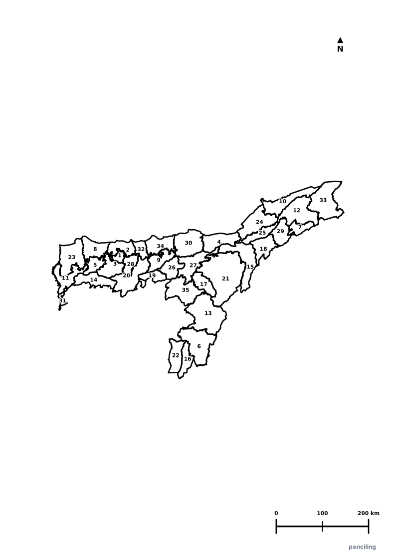
Assam Practice Test
Students identify each numbered district and write the name in the test blank.
Home of the One-Horned Rhino: Kaziranga National Park shelters over two-thirds of the entire world population of the great Indian one-horned rhinoceros.
World’s Largest River Island: Majuli, situated on the mighty Brahmaputra River, is recognized by Guinness as the largest inhabited river island in the world.
World’s Largest Tea Producer: Assam produces over half of India’s tea output, famous globally for its rich, full-bodied malty black tea.
Asia’s Oldest Oil Refinery: Digboi in eastern Assam is the birthplace of the Indian oil industry, with its refinery operating continuously since 1901.
Golden Muga Silk: Assam is the exclusive global producer of shimmering natural golden Muga silk, which naturally increases its luster with every wash.
Official State Symbols of Assam
Official flora, fauna, and natural emblems designated to celebrate Assam’s rich ecological and cultural heritage.
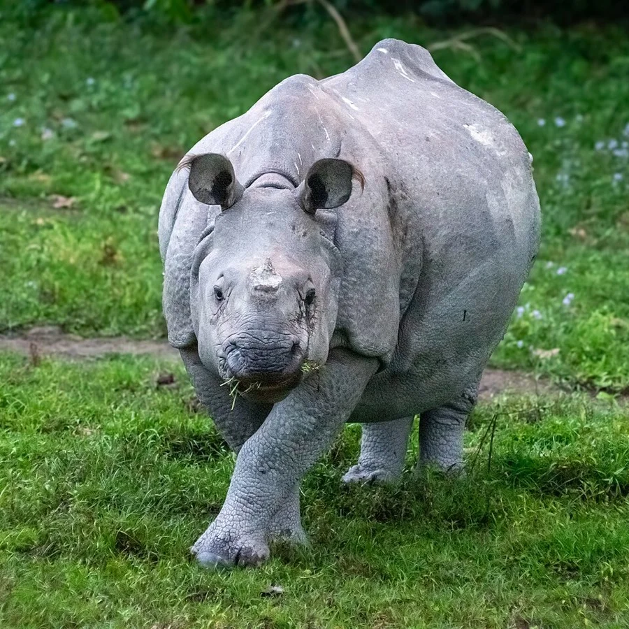
One-horned Rhinoceros
এশিঙীয়া গঁড় (Gorh)
Rhinoceros unicornis
Kaziranga National Park hosts over two-thirds of the world's remaining population of this armored, prehistoric marvel.
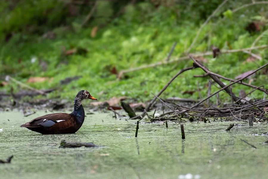
White-winged Wood Duck
দেওহাঁহ (Deo Hah)
Asarcornis scutulata
Known locally as the 'Spirit Duck', a rare and secretive forest duck roosting in the hollows of tall trees in evergreen wetlands.
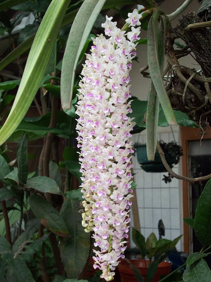
Foxtail Orchid / Kopou Phool
কপৌ ফুল (Kopou Phool)
Rhynchostylis retusa
Graceful pink-and-white orchid clusters worn by female Bihu dancers in their hair braids during Rongali Bihu spring celebrations.
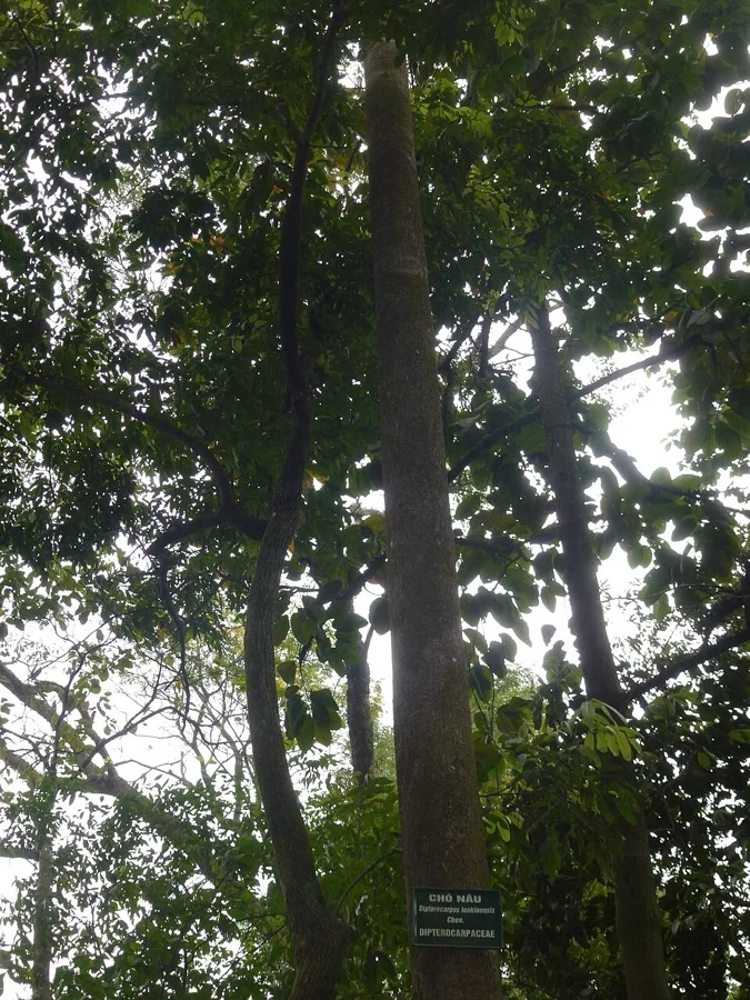
Hollong Tree
হলং গছ (Hollong)
Dipterocarpus macrocarpus
A towering dipterocarp reaching heights over 45 meters, forming the dominant emergent canopy of Assam's rainforests.
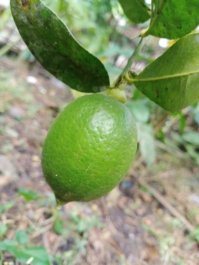
Kaji Nemu / Assam Lemon
কাজি নেমু (Kaji Nemu)
Citrus limon var. Assam
A GI-tagged seedless, elongated lemon celebrated across Northeast India for its uniquely zesty aroma and rich vitamin C juice.
What's Inside Your 3-Page A4 PDF
Structured print-ready learning system designed for classroom study, practice recall, and self-correction.
Master Reference Map
Full geography outline with every district clearly labelled for visual exploration and classroom study.
Student Quiz Worksheet
Numbered test sheet paired with structured blank answer lines for timed recall, homework, and classroom quizzes.
Complete Answer Key
Alphabetical directory and scoring index for quick self-checking, peer review, and teacher grading.
How to Use This Map Pack in Class or at Home
Complete Answer Key & Index
Alphabetical list of all 35 districts corresponding to the Numbered Quiz Map.
Official & Regional Languages of Assam
Recognized official, additional official, and prominent regional languages of Assam. Click any language to explore its Wikipedia article.
Learn to Write in Assamese (অসমীয়া)
Generate free custom name tracing sheets, foundational sight words, and alphabet practice in authentic Assamese script typography. Built-in school notebook rulings, soft single-shape watermark guides, and instant 300 DPI vector PDF export.
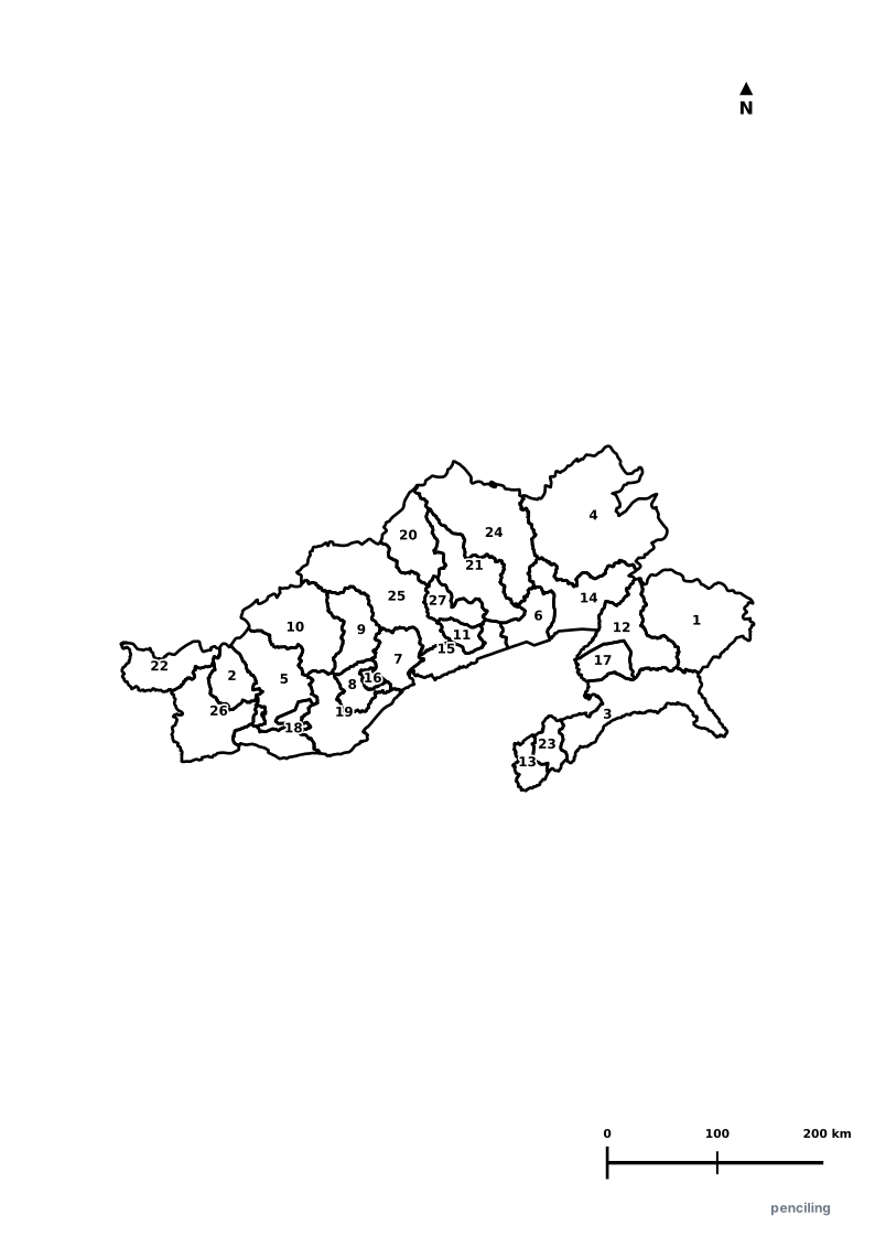
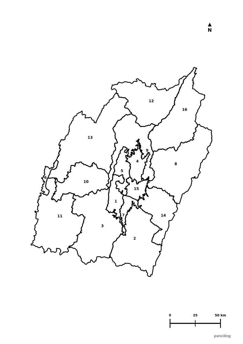
More Northeastern India India Maps
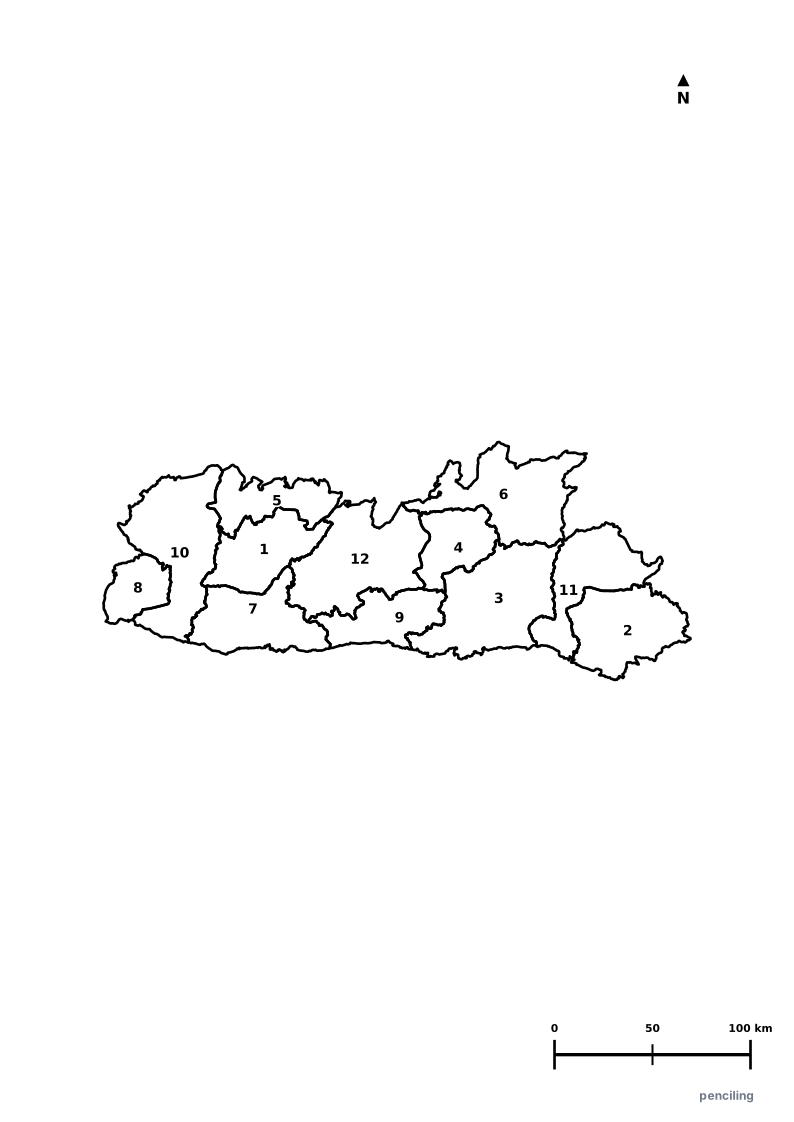
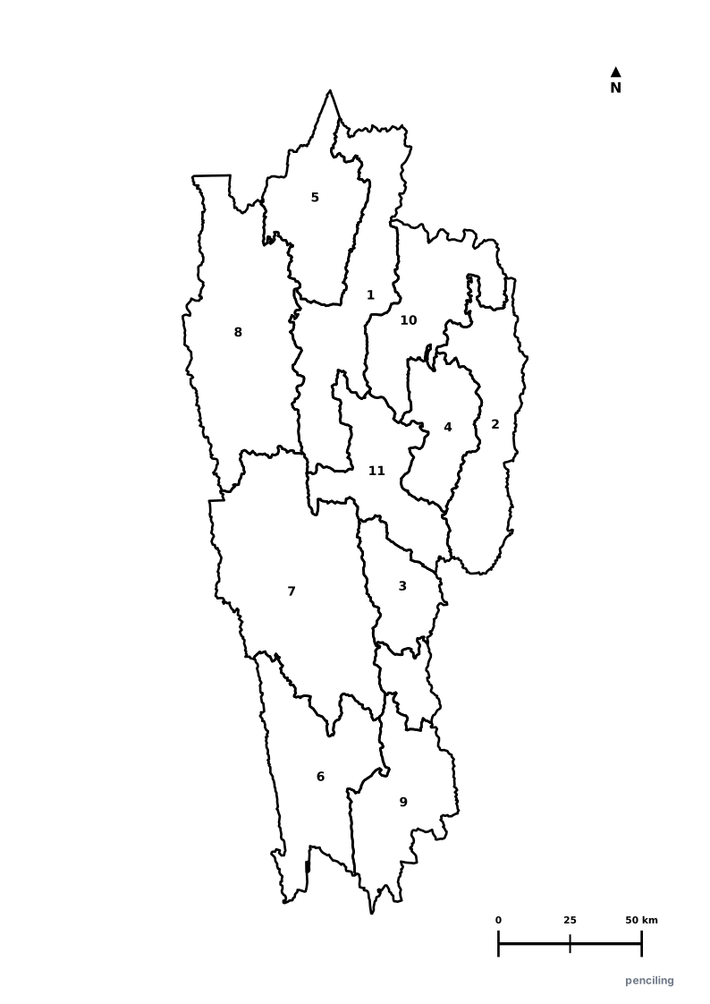
Explore free printable district maps and practice tests for neighboring states.
Explore All India Educational Maps
Official Cartographic & Boundary Standards
Verified .gov.inAdministrative boundary alignments and regional designations are aligned with official publications by theSurvey of India (National Mapping Agency)and theGovernment of Assam (assam.gov.in).