Jharkhand Printable Map Pack
Free printable map pack for Jharkhand. Includes boundary outlines, blank practice maps, quiz sheet, and answer key.
3-Page A4 Worksheet Pack
Includes Reference Map, Student Quiz Map, and Complete Answer Key in a single print-friendly PDF.
Download 3-Page Worksheet Pack🧭 Explore in Interactive AtlasJharkhand District Map
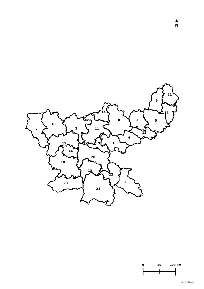
Interactive preview for all 24 districts.
Jharkhand Practice Test
Students identify each numbered district and write the name in the test blank.
Mineral Powerhouse of India: Holds over 40% of India’s total mineral reserves, including the country’s richest deposits of iron ore, coal, and mica.
Birthplace of Indian Steel: Jamshedpur (Tata Nagar) was established by Jamsetji Tata in 1907 as India’s very first planned modern industrial steel city.
City of Waterfalls: Capital Ranchi is celebrated as the City of Waterfalls, surrounded by dramatic natural cascades like Hundru, Dassam, and Jonha Falls.
Sacred Shikharji Hill: Parasnath Mountain is the highest peak in Jharkhand (1,365 m) and the most revered pilgrimage shrine in Jainism.
Betla National Park: One of India’s earliest designated tiger reserves, historically famous for conducting some of the world’s first tiger pugmark censuses.
Official State Symbols of Jharkhand
Official flora, fauna, and natural emblems designated to celebrate Jharkhand’s rich ecological and cultural heritage.

Indian Elephant
हाथी (Haathi)
Elephas maximus
The ancient forests of Dalma Wildlife Sanctuary and Saranda form one of eastern India's most critical elephant migratory corridors.
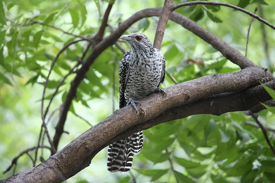
Asian Koel
कोयल (Koyal)
Eudynamys scolopaceus
Its sweet repetitive 'Koo-ooo' whistle heralds the arrival of mango season and spring across Jharkhand's woodland plateaus.
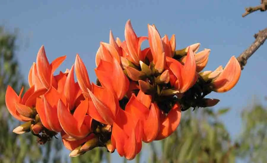
Palash / Flame of the Forest
पलाश (Palash)
Butea monosperma
Adorns the red soil landscape of Chota Nagpur in blazing vermilion clusters, central to the tribal festivities of Baha Parab.
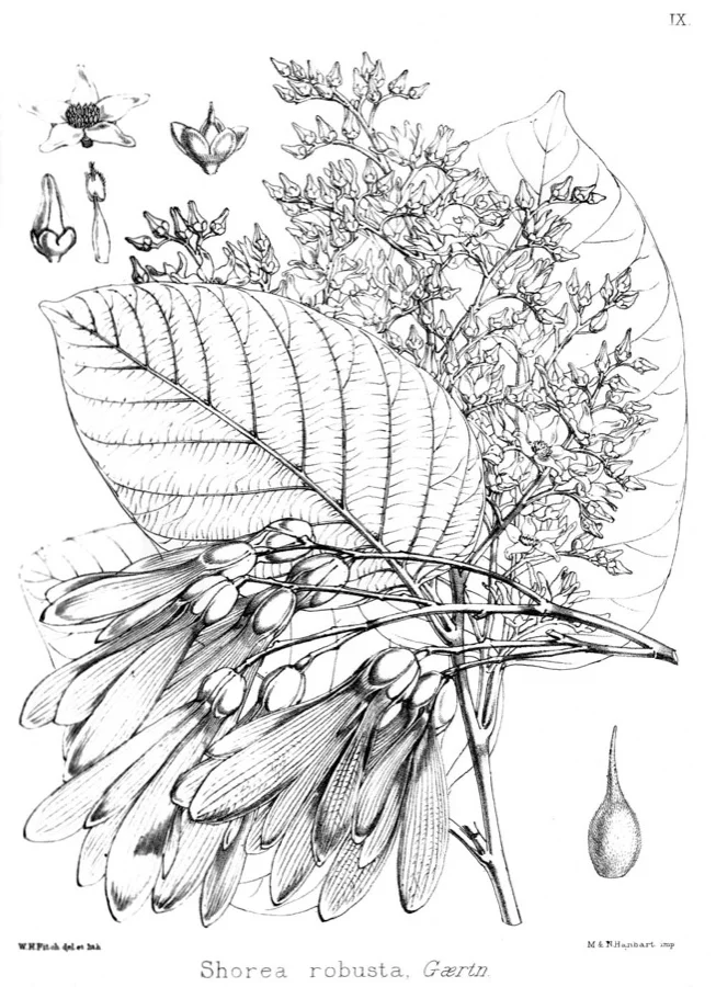
Sal Tree
साल (Sal)
Shorea robusta
The famous Saranda Forest ('The Land of Seven Hundred Hills') in Jharkhand contains Asia's largest contiguous Sal forest.
What's Inside Your 3-Page A4 PDF
Structured print-ready learning system designed for classroom study, practice recall, and self-correction.
Master Reference Map
Full geography outline with every district clearly labelled for visual exploration and classroom study.
Student Quiz Worksheet
Numbered test sheet paired with structured blank answer lines for timed recall, homework, and classroom quizzes.
Complete Answer Key
Alphabetical directory and scoring index for quick self-checking, peer review, and teacher grading.
How to Use This Map Pack in Class or at Home
Complete Answer Key & Index
Alphabetical list of all 24 districts corresponding to the Numbered Quiz Map.
Official & Regional Languages of Jharkhand
Recognized official, additional official, and prominent regional languages of Jharkhand. Click any language to explore its Wikipedia article.
Learn to Write in Hindi (हिन्दी)
Generate free custom name tracing sheets, foundational sight words, and alphabet practice in authentic Hindi script typography. Built-in school notebook rulings, soft single-shape watermark guides, and instant 300 DPI vector PDF export.
More Eastern India India Maps
Explore free printable district maps and practice tests for neighboring states.
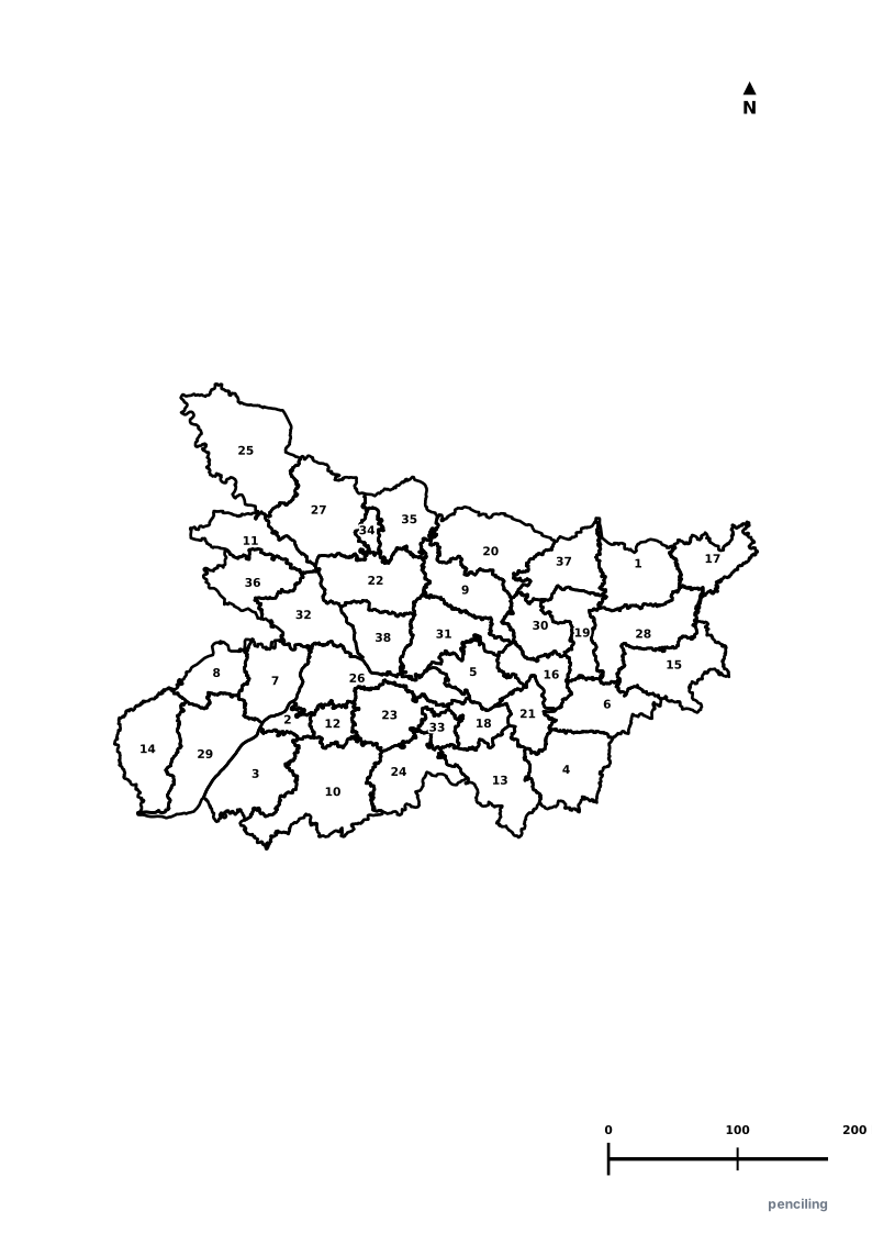
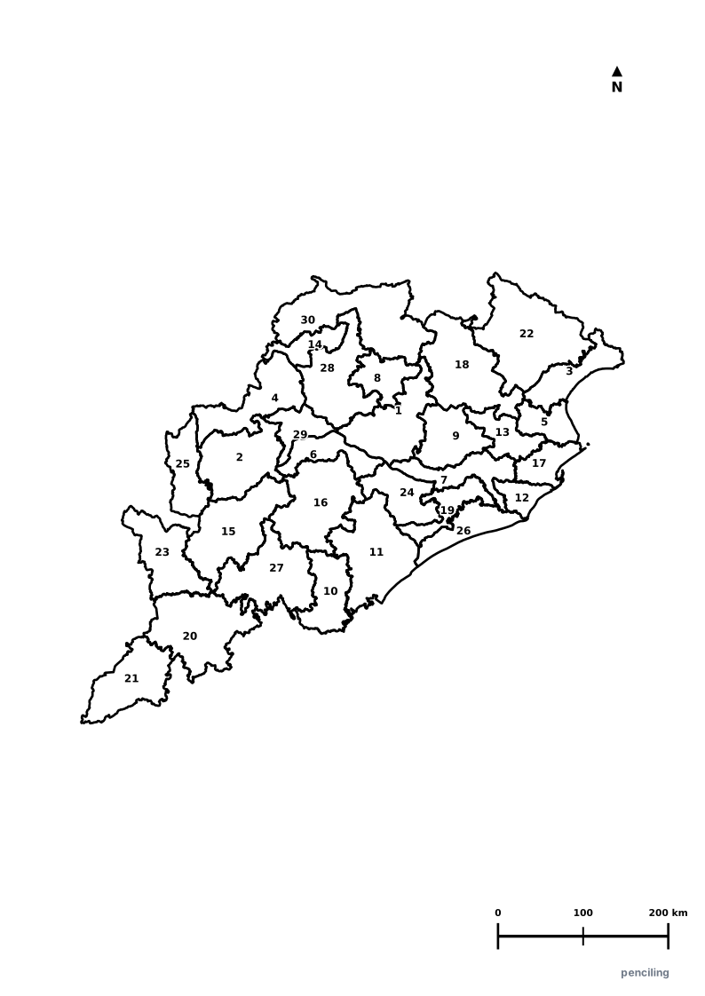
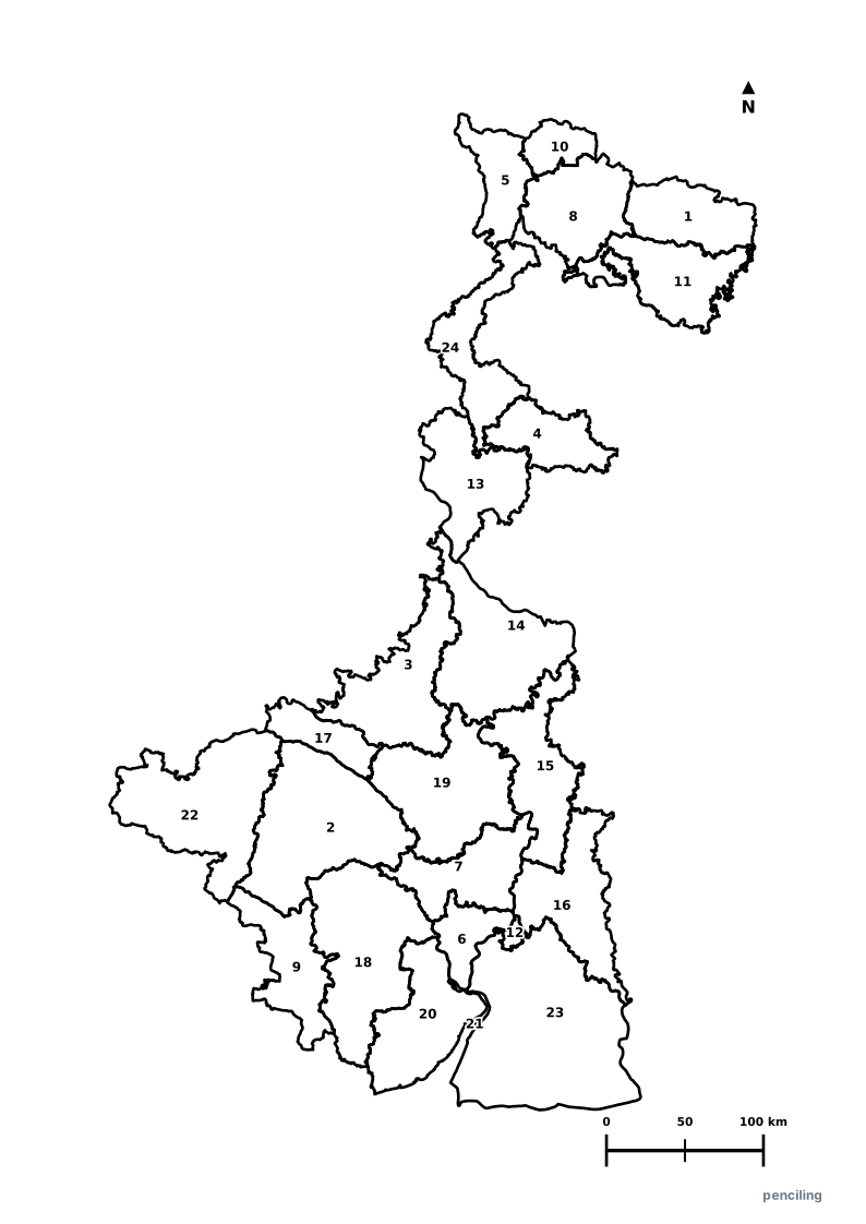
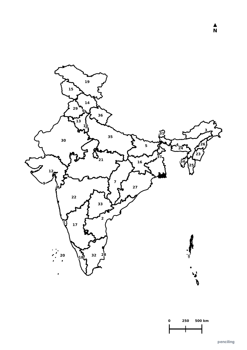
Explore All India Educational Maps
Official Cartographic & Boundary Standards
Verified .gov.inAdministrative boundary alignments and regional designations are aligned with official publications by theSurvey of India (National Mapping Agency)and theGovernment of Jharkhand (jharkhand.gov.in).