Uttarakhand Printable Map Pack
Free printable map pack for Uttarakhand. Includes boundary outlines, blank practice maps, quiz sheet, and answer key.
3-Page A4 Worksheet Pack
Includes Reference Map, Student Quiz Map, and Complete Answer Key in a single print-friendly PDF.
Download 3-Page Worksheet Pack🧭 Explore in Interactive AtlasUttarakhand District Map
Interactive preview for all 13 districts.
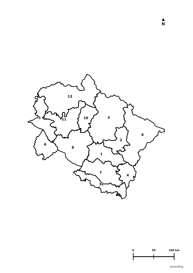
Uttarakhand Practice Test
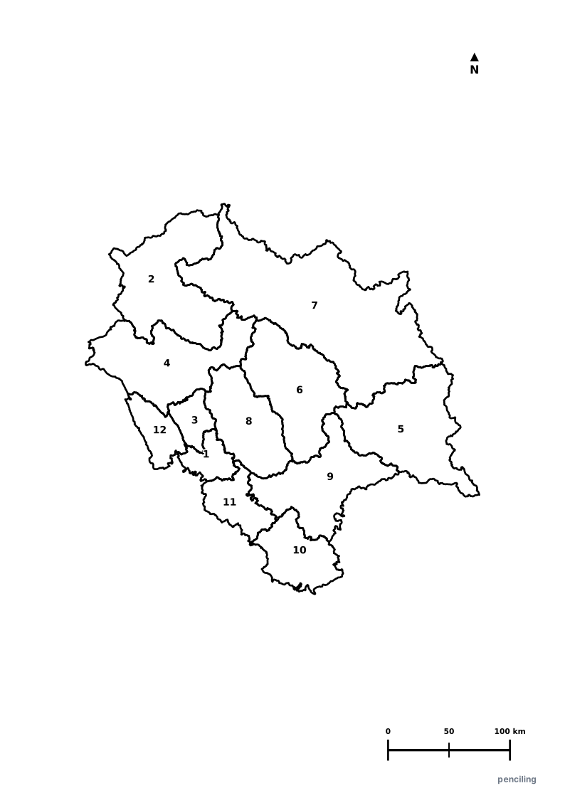
Students identify each numbered district and write the name in the test blank.
Land of the Gods (Devbhoomi): Revered for the holy Char Dham pilgrimage circuit (Yamunotri, Gangotri, Kedarnath, and Badrinath) set high in the Garhwal Himalayas.
Origin of Sacred Rivers: The Bhagirathi (at Gaumukh glacier) and Alaknanda meet at Devprayag to form the mighty Ganga River.
India’s Oldest National Park: Jim Corbett National Park was established in 1936 as Hailey National Park, pioneering Project Tiger conservation.
Valley of Flowers National Park: A UNESCO World Heritage site carpeted with hundreds of endemic alpine flower species and rare medicinal herbs.
Yoga Capital of the World: Rishikesh on the banks of the Ganges attracts international yogis and spiritual seekers, made famous globally by The Beatles in 1968.
Official State Symbols of Uttarakhand
Official flora, fauna, and natural emblems designated to celebrate Uttarakhand’s rich ecological and cultural heritage.
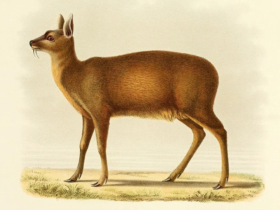
Alpine Musk Deer
कस्तूरी मृग (Kasturi Mrig)
Moschus chrysogaster
A solitary high-altitude deer with curved tusks instead of antlers, adapted for life in Kedarnath and Nanda Devi alpine meadows.
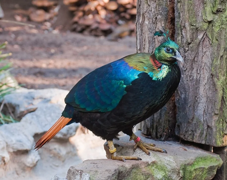
Himalayan Monal
मोनाल (Monal)
Lophophorus impejanus
The male Monal is adorned with an astonishing rainbow of iridescent bronze, emerald, and violet plumage with a crested crown.
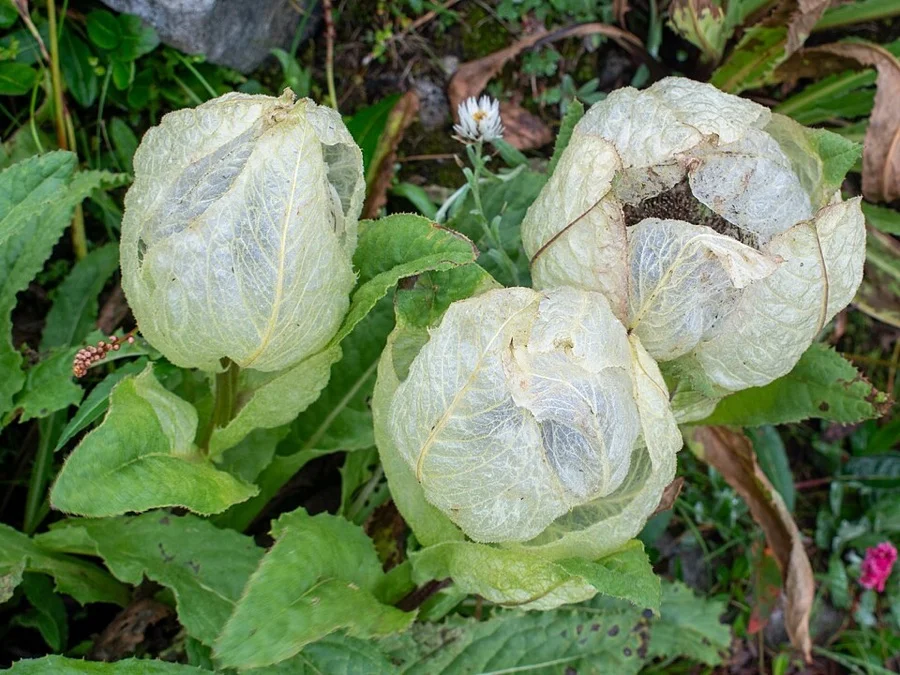
Brahma Kamal
ब्रह्मकमल (Brahma Kamal)
Saussurea obvallata
A sacred translucent Himalayan flower blooming at elevations up to 4,500 m in the Valley of Flowers and Hemkund Sahib.
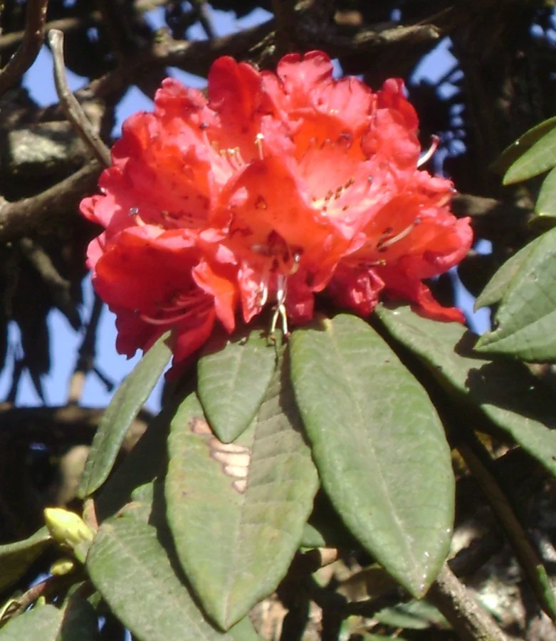
Burans / Tree Rhododendron
बुरांश (Burans)
Rhododendron arboreum
Bright scarlet flowers that blanket the Garhwal and Kumaon hills in March, pressed into delicious traditional health squash.
What's Inside Your 3-Page A4 PDF
Structured print-ready learning system designed for classroom study, practice recall, and self-correction.
Master Reference Map
Full geography outline with every district clearly labelled for visual exploration and classroom study.
Student Quiz Worksheet
Numbered test sheet paired with structured blank answer lines for timed recall, homework, and classroom quizzes.
Complete Answer Key
Alphabetical directory and scoring index for quick self-checking, peer review, and teacher grading.
How to Use This Map Pack in Class or at Home
Complete Answer Key & Index
Alphabetical list of all 13 districts corresponding to the Numbered Quiz Map.
Official & Regional Languages of Uttarakhand
Recognized official, additional official, and prominent regional languages of Uttarakhand. Click any language to explore its Wikipedia article.
Learn to Write in Hindi (हिन्दी)
Generate free custom name tracing sheets, foundational sight words, and alphabet practice in authentic Hindi script typography. Built-in school notebook rulings, soft single-shape watermark guides, and instant 300 DPI vector PDF export.
More Northern India India Maps
Explore free printable district maps and practice tests for neighboring states.
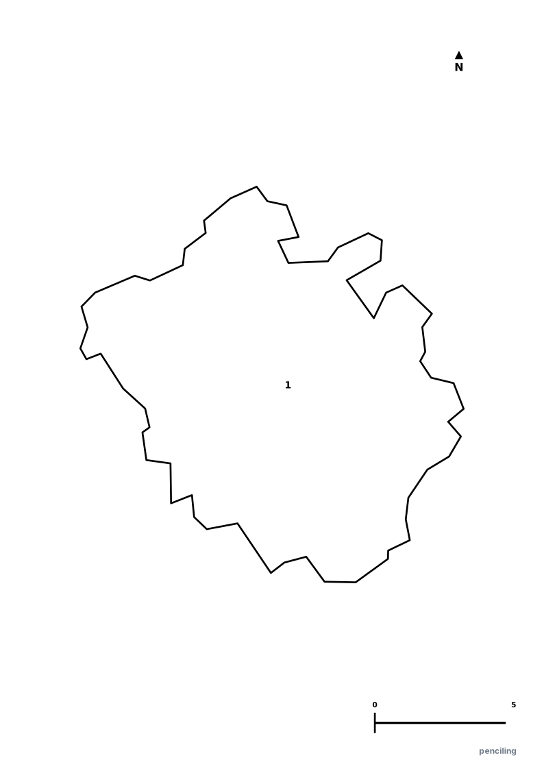
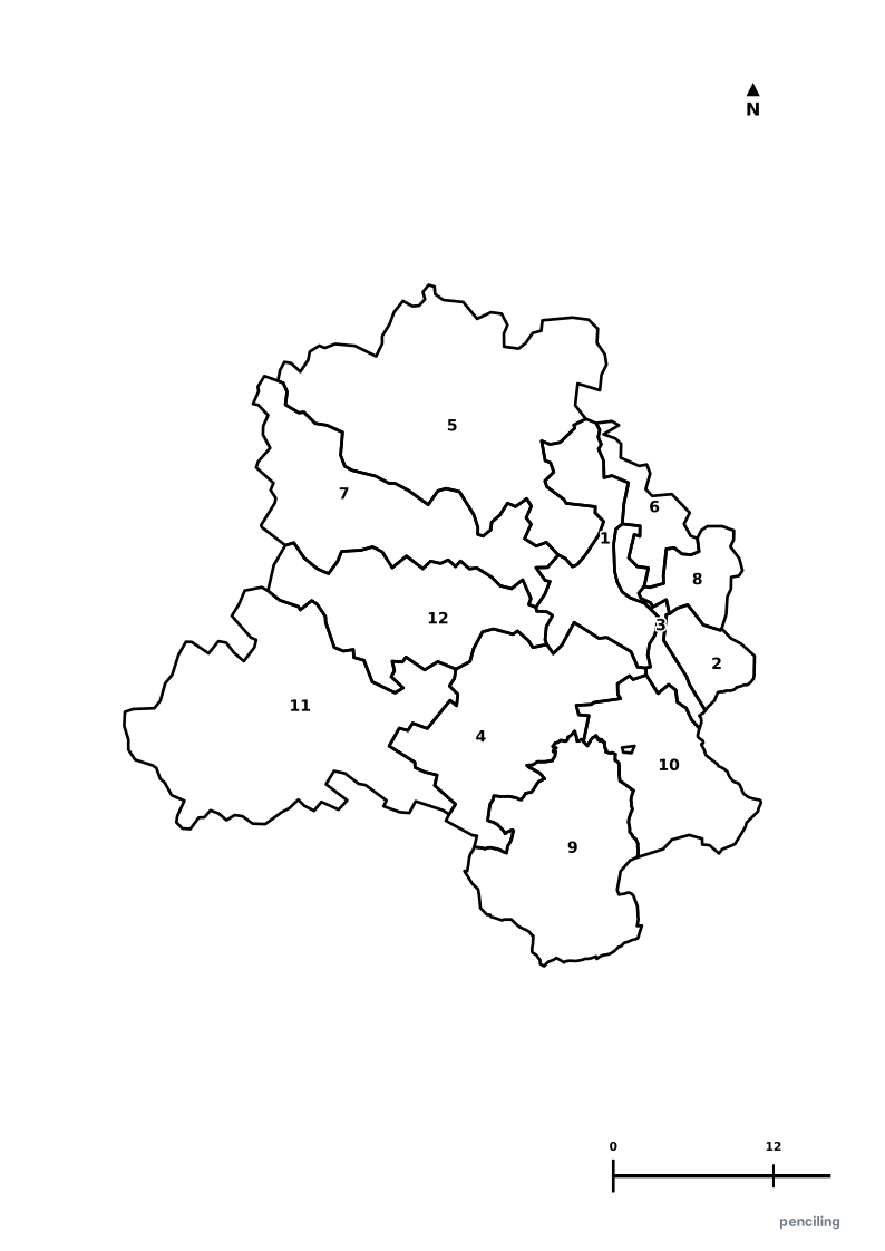
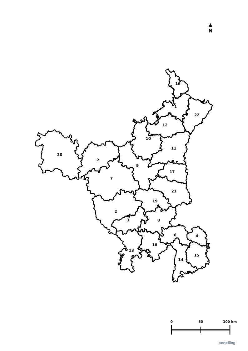
Explore All India Educational Maps
Official Cartographic & Boundary Standards
Verified .gov.inAdministrative boundary alignments and regional designations are aligned with official publications by theSurvey of India (National Mapping Agency)and theGovernment of Uttarakhand (uk.gov.in).