Chandigarh Printable Map Pack
Free printable map pack for Chandigarh. Includes boundary outlines, blank practice maps, quiz sheet, and answer key.
3-Page A4 Worksheet Pack
Includes Reference Map, Student Quiz Map, and Complete Answer Key in a single print-friendly PDF.
Download 3-Page Worksheet Pack🧭 Explore in Interactive AtlasChandigarh District Map
Interactive preview for all 1 districts.
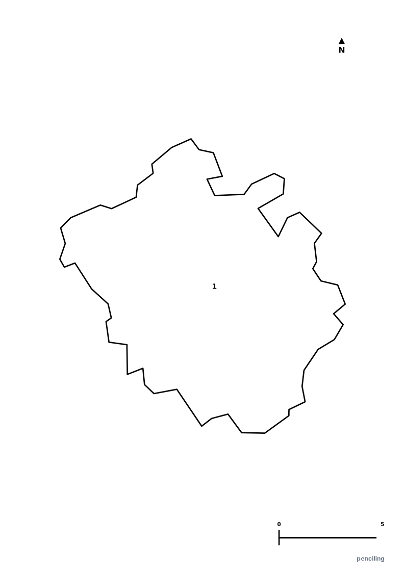
Chandigarh Practice Test
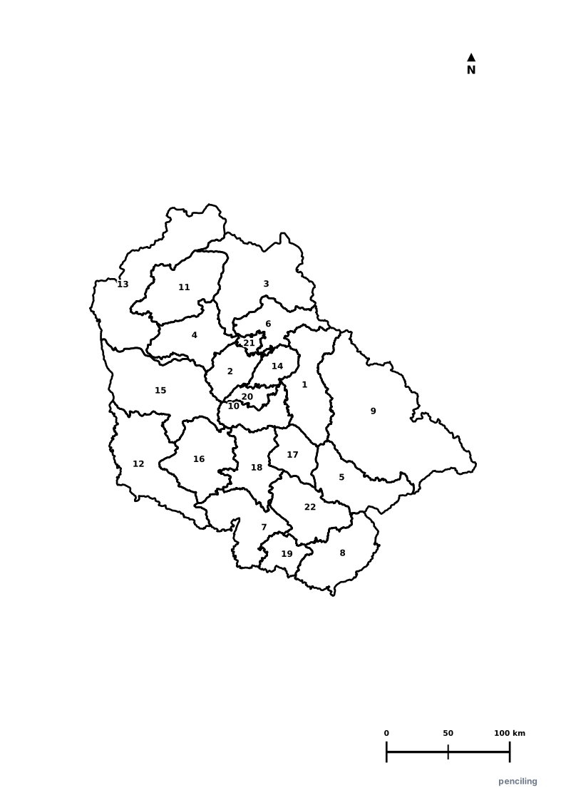
Students identify each numbered district and write the name in the test blank.
India’s First Planned City: Master-planned by the legendary French-Swiss architect Le Corbusier, famous for its grid-iron sector layout and green belts.
The Famous Rock Garden: Created secretly by visionary artist Nek Chand using recycled urban industrial and household ceramic waste.
Joint Capital of Two States: Uniquely serves as the shared administrative capital of both Punjab and Haryana while remaining a Union Territory.
City of Trees: Ranked consistently among India’s cleanest and greenest urban cities, designed with 60 self-contained numbered sectors.
The Open Hand Monument: Le Corbusier’s 26-meter-high rotating metal sculpture symbolizes peace, reconciliation, and the openness to give and receive.
Official State Symbols of Chandigarh
Official flora, fauna, and natural emblems designated to celebrate Chandigarh’s rich ecological and cultural heritage.
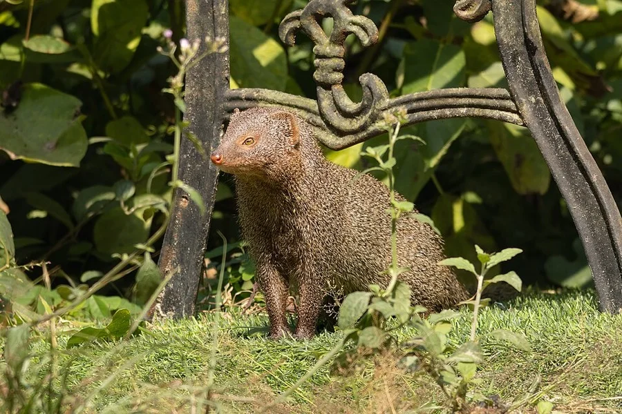
Indian Grey Mongoose
नेवला (Newla)
Urva edwardsii
A fearless, lightning-fast mammal inhabiting Sukhna Wildlife Sanctuary and the green park belts of the City Beautiful.
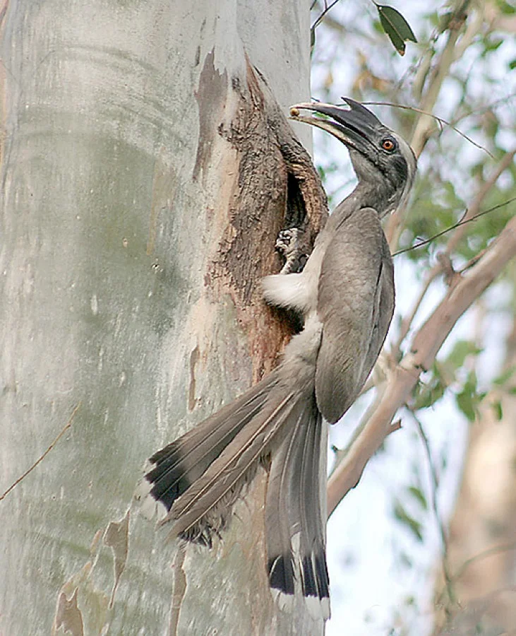
Indian Grey Hornbill
धूसर धनेश (Dhanesh)
Ocyceros birostris
A common arboreal resident of Chandigarh's tree-lined avenues, feeding on wild figs and nesting inside tree hollows.
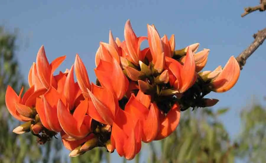
Dhak / Palash Flower
ढाक / पलाश (Dhak)
Butea monosperma
Vibrant orange flowers that brighten the Sukhna Lake ridge and Shivalik foothills in early spring.
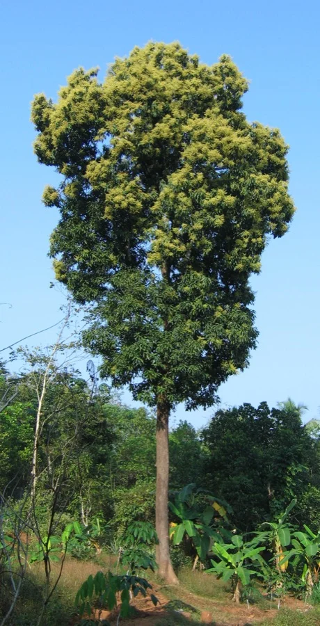
Mango Tree
आम का पेड़ (Aam)
Mangifera indica
Planted in abundance throughout Le Corbusier's garden city sectors to provide expansive natural shade.
What's Inside Your 3-Page A4 PDF
Structured print-ready learning system designed for classroom study, practice recall, and self-correction.
Master Reference Map
Full geography outline with every district clearly labelled for visual exploration and classroom study.
Student Quiz Worksheet
Numbered test sheet paired with structured blank answer lines for timed recall, homework, and classroom quizzes.
Complete Answer Key
Alphabetical directory and scoring index for quick self-checking, peer review, and teacher grading.
How to Use This Map Pack in Class or at Home
Complete Answer Key & Index
Alphabetical list of all 1 districts corresponding to the Numbered Quiz Map.
Official & Regional Languages of Chandigarh
Recognized official, additional official, and prominent regional languages of Chandigarh. Click any language to explore its Wikipedia article.
Learn to Write in English (English)
Generate free custom name tracing sheets, foundational sight words, and alphabet practice in authentic English script typography. Built-in school notebook rulings, soft single-shape watermark guides, and instant 300 DPI vector PDF export.
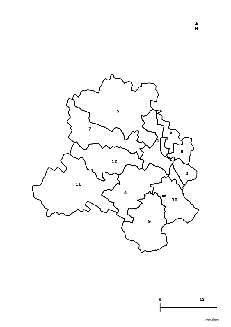
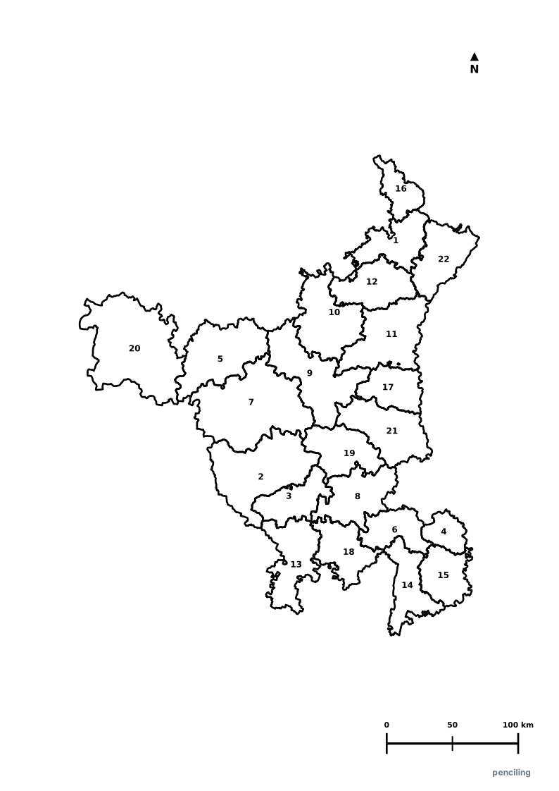
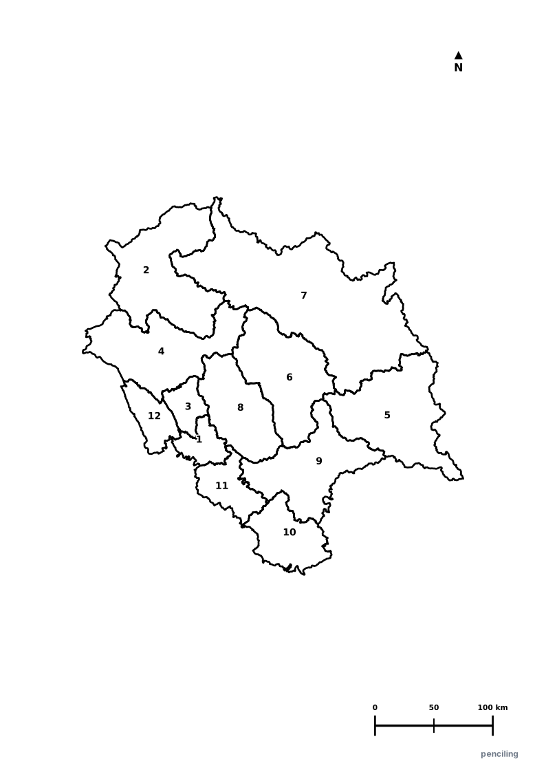
More Northern India India Maps
Explore free printable district maps and practice tests for neighboring states.
Explore All India Educational Maps
Official Cartographic & Boundary Standards
Verified .gov.inAdministrative boundary alignments and regional designations are aligned with official publications by theSurvey of India (National Mapping Agency)and theChandigarh Administration (chandigarh.gov.in).