Andaman and Nicobar Islands Printable Map Pack
Free printable map pack for Andaman and Nicobar Islands. Includes boundary outlines, blank practice maps, quiz sheet, and answer key.
3-Page A4 Worksheet Pack
Includes Reference Map, Student Quiz Map, and Complete Answer Key in a single print-friendly PDF.
Download 3-Page Worksheet Pack🧭 Explore in Interactive AtlasAndaman and Nicobar Islands District Map
Interactive preview for all 3 districts.
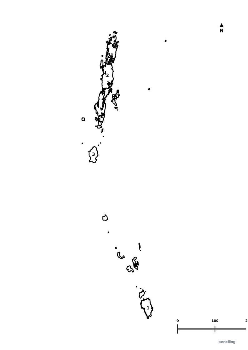
Andaman and Nicobar Islands Practice Test
Students identify each numbered district and write the name in the test blank.
Only Active Volcano in South Asia: Barren Island in the Andaman Sea is home to the only confirmed active volcano in South Asia.
Mud Volcanoes of Baratang: Baratang Island is one of the rare places on Earth where natural bubbling mud volcanoes can be explored.
Dugong State Animal: The gentle sea cow (Dugong), an endangered marine herbivore grazing on sea grass, is the official state animal.
Giant Coconut Crabs: The islands are home to the Robber Crab (Coconut Crab), the largest land-living arthropod in the world capable of cracking open coconuts.
572 Emerald Islands: The archipelago consists of 572 islands and islets, but only about 38 are permanently inhabited by humans.
Official State Symbols of Andaman and Nicobar Islands
Official flora, fauna, and natural emblems designated to celebrate Andaman and Nicobar Islands’s rich ecological and cultural heritage.
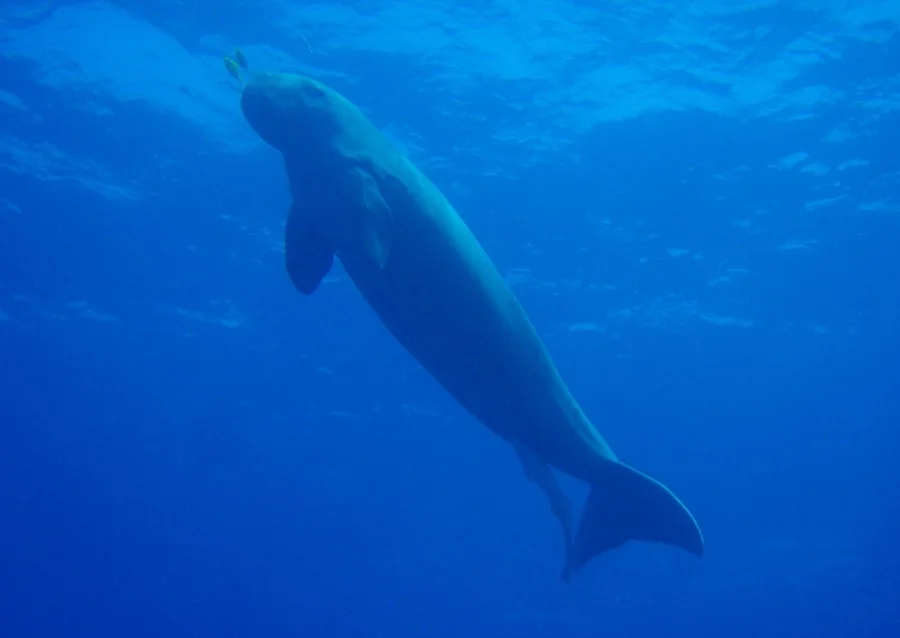
Dugong / Sea Cow
Dugong
Dugong dugon
A gentle, strictly vegetarian marine mammal grazing peacefully on the lush undersea seagrass meadows around Ritchie's Archipelago.
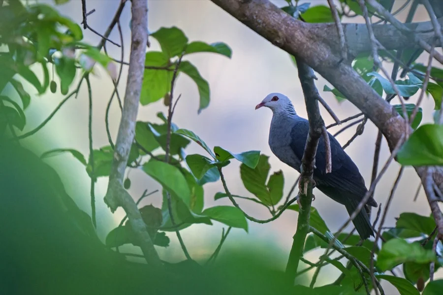
Andaman Wood Pigeon
Andaman Wood Pigeon
Columba palumboides
An endemic island pigeon with a silver-grey crown and iridescent sheen, foraging in dense tropical evergreen rainforest canopies.
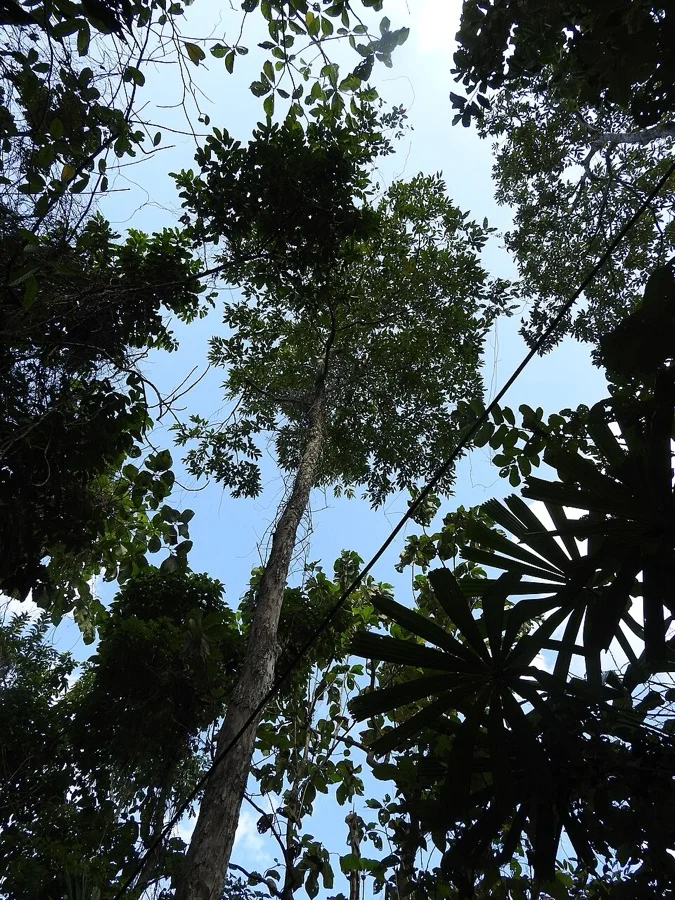
Andaman Pyinma
Pyinma
Lagerstroemia hypoleuca
A magnificent endemic timber tree producing lovely lilac and violet blossoms during the tropical monsoon months.
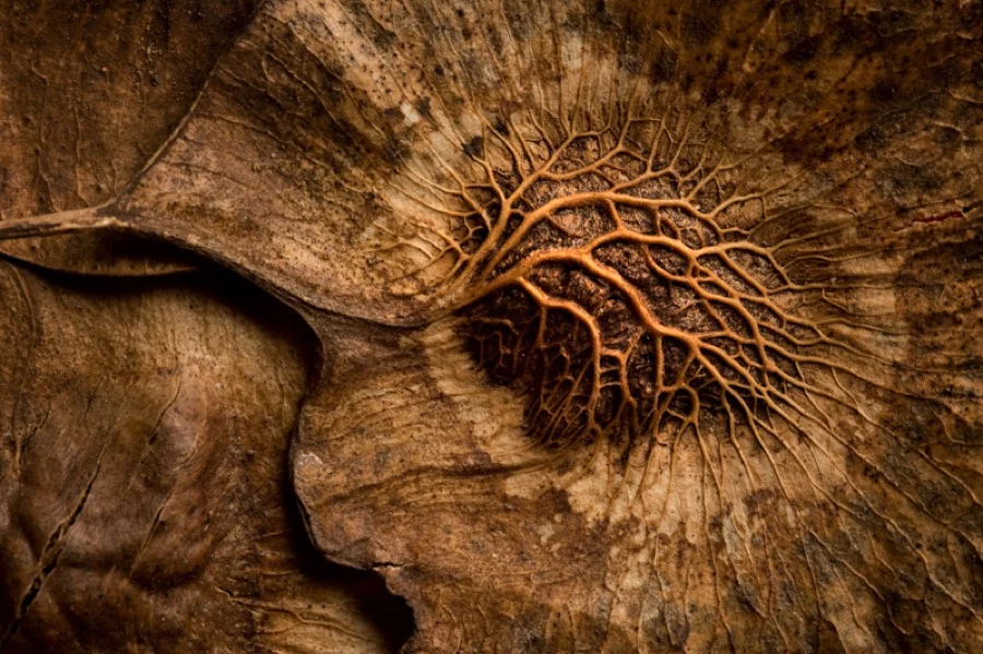
Andaman Padauk
Andaman Padauk
Pterocarpus dalbergioides
World-renowned for its lustrous, deeply reddish-gold figured hardwood, used to craft iconic island furniture and musical instruments.
What's Inside Your 3-Page A4 PDF
Structured print-ready learning system designed for classroom study, practice recall, and self-correction.
Master Reference Map
Full geography outline with every district clearly labelled for visual exploration and classroom study.
Student Quiz Worksheet
Numbered test sheet paired with structured blank answer lines for timed recall, homework, and classroom quizzes.
Complete Answer Key
Alphabetical directory and scoring index for quick self-checking, peer review, and teacher grading.
How to Use This Map Pack in Class or at Home
Complete Answer Key & Index
Alphabetical list of all 3 districts corresponding to the Numbered Quiz Map.
Official & Regional Languages of Andaman and Nicobar Islands
Recognized official, additional official, and prominent regional languages of Andaman and Nicobar Islands. Click any language to explore its Wikipedia article.
Learn to Write in Hindi (हिन्दी)
Generate free custom name tracing sheets, foundational sight words, and alphabet practice in authentic Hindi script typography. Built-in school notebook rulings, soft single-shape watermark guides, and instant 300 DPI vector PDF export.
More Bay of Bengal India Maps
Explore free printable district maps and practice tests for neighboring states.
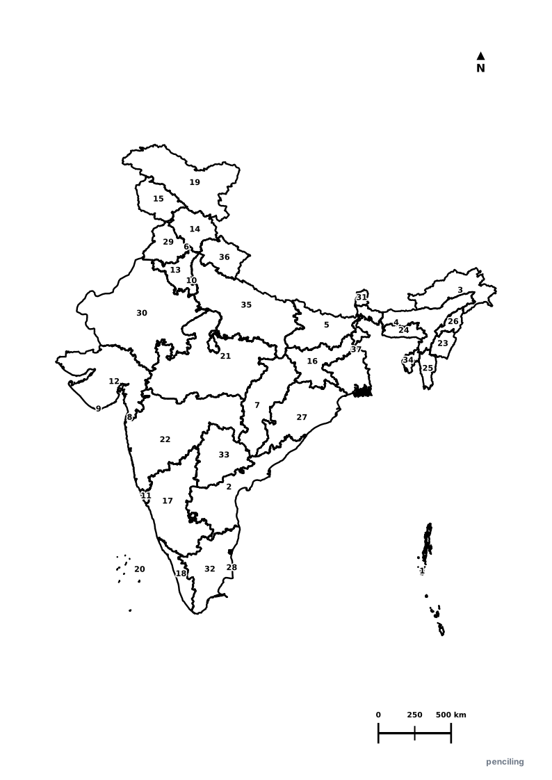
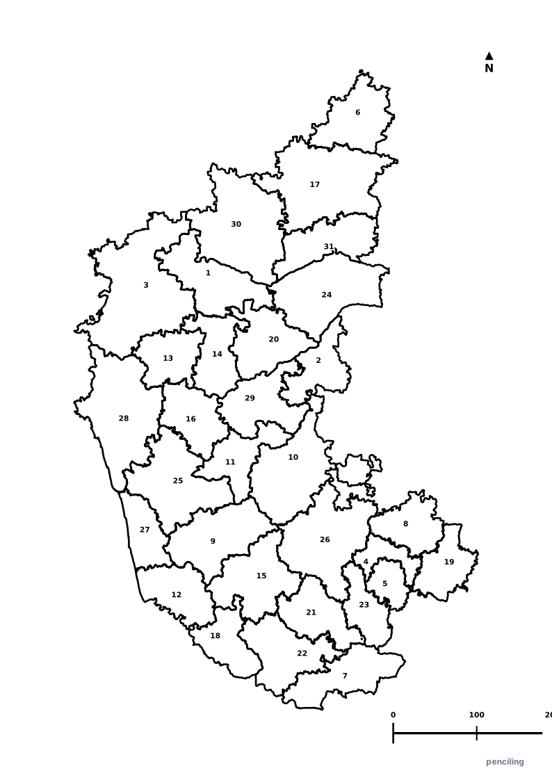
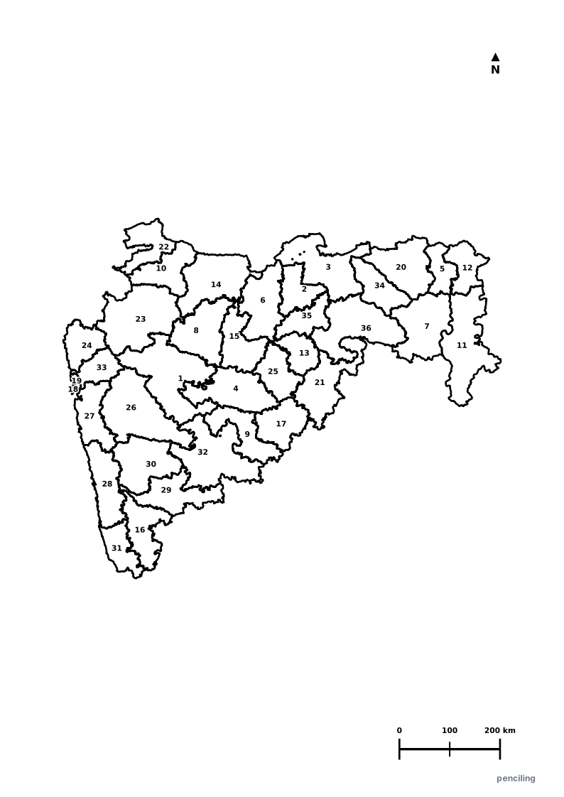
Explore All India Educational Maps
Official Cartographic & Boundary Standards
Verified .gov.inAdministrative boundary alignments and regional designations are aligned with official publications by theSurvey of India (National Mapping Agency)and theAndaman & Nicobar Administration (andaman.gov.in).