Karnataka Printable Map Pack
Free printable map pack for Karnataka. Includes boundary outlines, blank practice maps, quiz sheet, and answer key.
3-Page A4 Worksheet Pack
Includes Reference Map, Student Quiz Map, and Complete Answer Key in a single print-friendly PDF.
Download 3-Page Worksheet Pack🧭 Explore in Interactive AtlasKarnataka District Map
Interactive preview for all 31 districts.
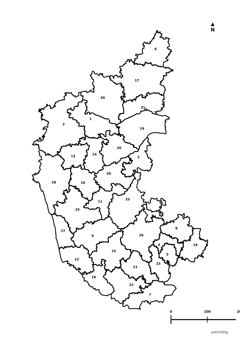
Karnataka Practice Test
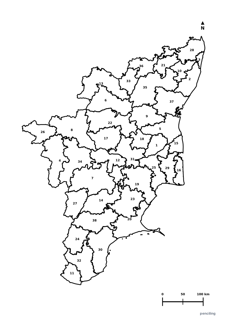
Students identify each numbered district and write the name in the test blank.
Silicon Valley of India: Capital Bengaluru is India’s premier aerospace and software export capital, hosting ISRO, Infosys, and thousands of tech startups.
UNESCO Ruins of Hampi: The 14th-century capital of the Vijayanagara Empire was once the second-largest city in the medieval world after Beijing.
Highest Coffee Producer: Cultivates over 70% of India’s coffee, grown under native forest canopies in Kodagu (Coorg) and Chikkamagaluru.
Monolithic Gommateshwara Statue: The 57-foot-tall single granite statue of Bahubali at Shravanabelagola is one of the world’s largest free-standing monolithic statues.
Mysore Silk & Sandalwood: Renowned for luxurious gold-zari Mysore silk sarees and pure aromatic sandalwood oil protected by GI heritage status.
Official State Symbols of Karnataka
Official flora, fauna, and natural emblems designated to celebrate Karnataka’s rich ecological and cultural heritage.
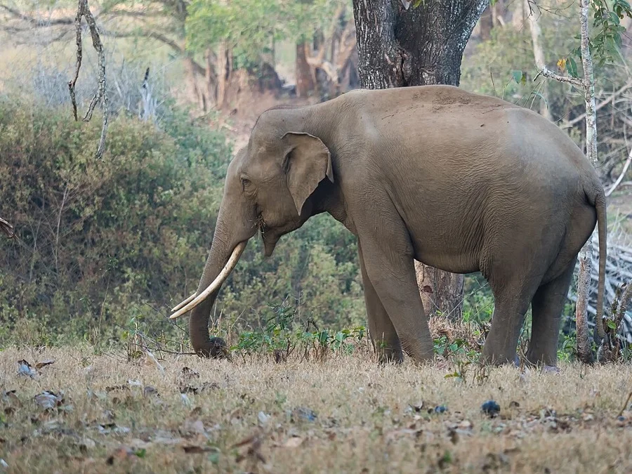
Asian Elephant
ಆನೆ (Aane)
Elephas maximus
Karnataka is home to India's largest wild Asian elephant population roaming the lush Western Ghats and Bandipur forests.
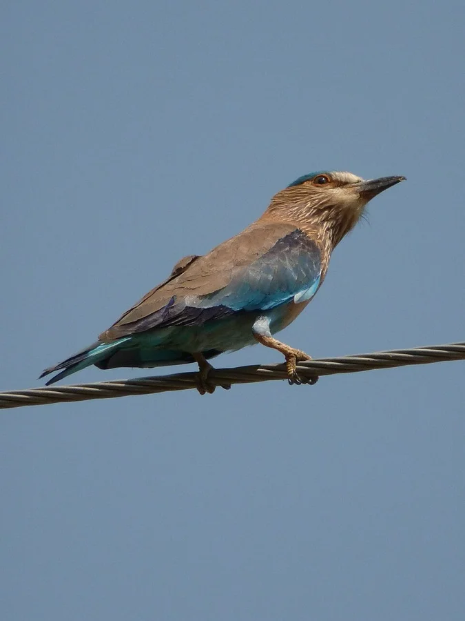
Indian Roller
ನೀಲಕಂಠ (Neelakantha)
Coracias benghalensis
Sacred in folklore and famous for the brilliant sapphire flash of its wings during tumbling courtship flight displays.
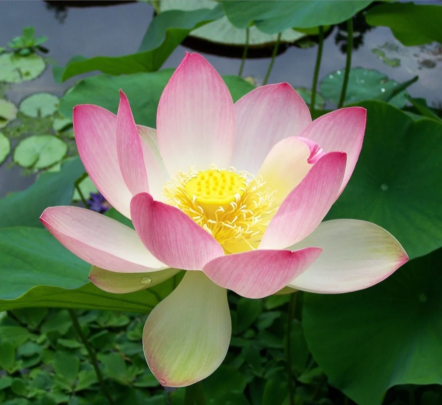
Sacred Lotus
ಕಮಲ (Kamala)
Nelumbo nucifera
A timeless emblem of wisdom and divinity, intricately carved into the stone friezes of historic Hoysala and Badami Chalukya temples.
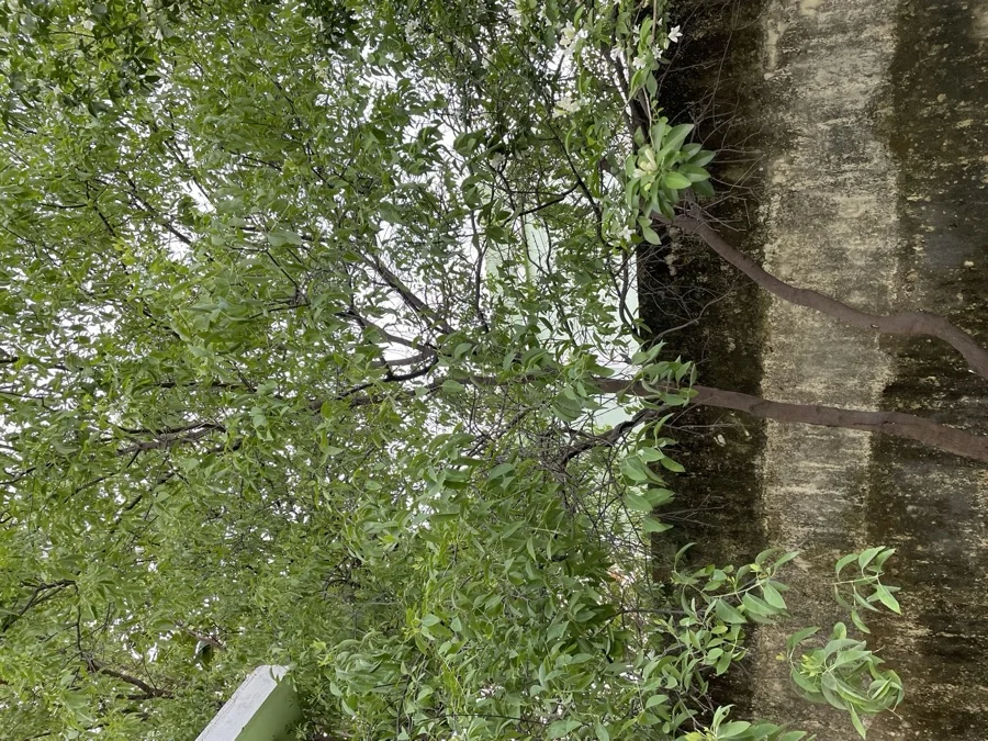
Indian Sandalwood
ಶ್ರೀಗಂಧ (Shreegandha)
Santalum album
Renowned worldwide as 'Gandhada Gudi' (the Land of Sandalwood), prized for its rare heavenly aromatic oil and royal Mysore soaps.
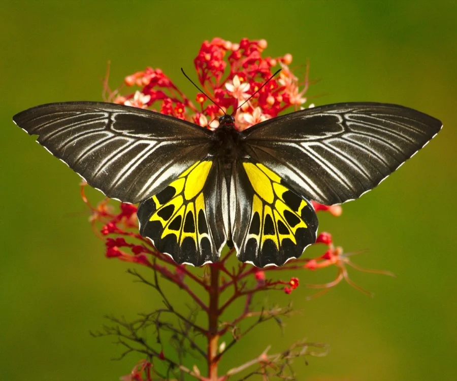
Southern Birdwing
ಸಹ್ಯಾದ್ರಿ ಬರ್ಡ್ವಿಂಗ್
Troides minos
With a wingspan of up to 190 mm, this majestic black and golden butterfly is the largest butterfly species in South India.
What's Inside Your 3-Page A4 PDF
Structured print-ready learning system designed for classroom study, practice recall, and self-correction.
Master Reference Map
Full geography outline with every district clearly labelled for visual exploration and classroom study.
Student Quiz Worksheet
Numbered test sheet paired with structured blank answer lines for timed recall, homework, and classroom quizzes.
Complete Answer Key
Alphabetical directory and scoring index for quick self-checking, peer review, and teacher grading.
How to Use This Map Pack in Class or at Home
Complete Answer Key & Index
Alphabetical list of all 31 districts corresponding to the Numbered Quiz Map.
Official & Regional Languages of Karnataka
Recognized official, additional official, and prominent regional languages of Karnataka. Click any language to explore its Wikipedia article.
Learn to Write in Kannada (ಕನ್ನಡ)
Generate free custom name tracing sheets, foundational sight words, and alphabet practice in authentic Kannada script typography. Built-in school notebook rulings, soft single-shape watermark guides, and instant 300 DPI vector PDF export.
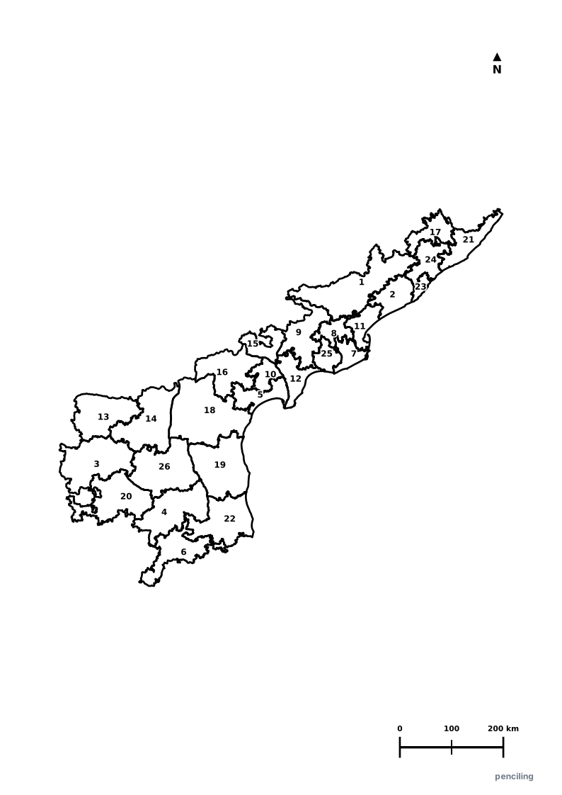
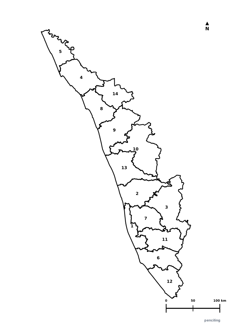
More Southern India India Maps
Explore free printable district maps and practice tests for neighboring states.

Explore All India Educational Maps
Official Cartographic & Boundary Standards
Verified .gov.inAdministrative boundary alignments and regional designations are aligned with official publications by theSurvey of India (National Mapping Agency)and theGovernment of Karnataka (karnataka.gov.in).