Delhi Printable Map Pack
Free printable map pack for Delhi. Includes boundary outlines, blank practice maps, quiz sheet, and answer key.
3-Page A4 Worksheet Pack
Includes Reference Map, Student Quiz Map, and Complete Answer Key in a single print-friendly PDF.
Download 3-Page Worksheet Pack🧭 Explore in Interactive AtlasDelhi District Map
Interactive preview for all 12 districts.
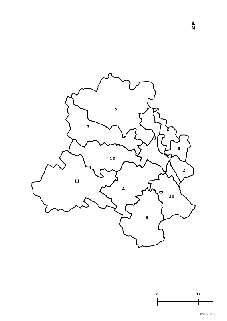
Delhi Practice Test
Students identify each numbered district and write the name in the test blank.
Inhabited Since 6th Century BCE: Delhi has served as the continuous capital of mighty empires, having been destroyed and rebuilt at least 7 major times.
Asia’s Largest Spice Market: Khari Baoli in Old Delhi has operated continuously since the 17th century and is the largest wholesale spice market in Asia.
Tallest Brick Minaret in the World: The 72.5-meter (238 ft) Qutub Minar, built in 1192, is the tallest brick minaret on Earth and a UNESCO World Heritage site.
Greenest Capital City: Over 23% of Delhi’s geographic area is covered by lush green tree canopy and forest cover, anchored by the ancient Delhi Ridge.
Rust-Resistant Iron Pillar: The 1,600-year-old Iron Pillar of Chandragupta II in the Qutub complex has baffled metallurgists by resisting rust for centuries.
Official State Symbols of Delhi
Official flora, fauna, and natural emblems designated to celebrate Delhi’s rich ecological and cultural heritage.
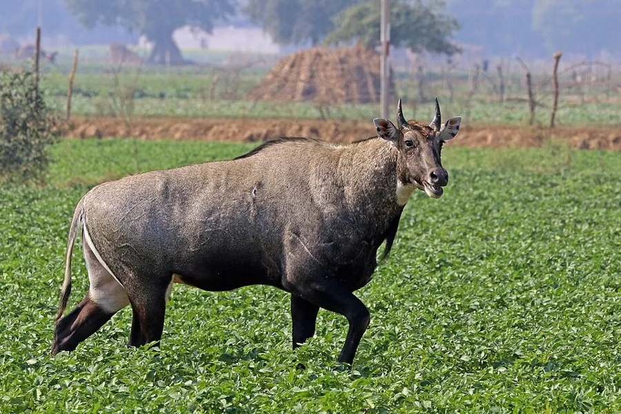
Nilgai / Blue Bull
नीलगाय (Nilgai)
Boselaphus tragocamelus
Asia's largest antelope, roaming peacefully along the green trails of the Central Ridge and Asola Bhatti Wildlife Sanctuary.
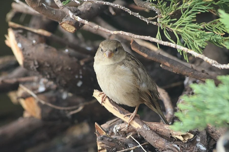
House Sparrow
गौरैया (Gauraiya)
Passer domesticus
Adopted by Delhi in 2012 under the 'Rise for the Sparrow' campaign to bring the beloved bird back to urban balconies.
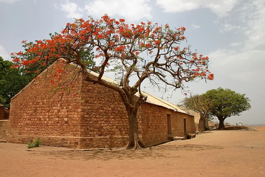
Flamboyant / Gulmohar
गुलमोहर (Gulmohar)
Delonix regia
Line Delhi's wide avenues with a canopy of vivid orange-scarlet flowers during peak summer before the monsoon showers.
What's Inside Your 3-Page A4 PDF
Structured print-ready learning system designed for classroom study, practice recall, and self-correction.
Master Reference Map
Full geography outline with every district clearly labelled for visual exploration and classroom study.
Student Quiz Worksheet
Numbered test sheet paired with structured blank answer lines for timed recall, homework, and classroom quizzes.
Complete Answer Key
Alphabetical directory and scoring index for quick self-checking, peer review, and teacher grading.
How to Use This Map Pack in Class or at Home
Complete Answer Key & Index
Alphabetical list of all 12 districts corresponding to the Numbered Quiz Map.
Official & Regional Languages of Delhi
Recognized official, additional official, and prominent regional languages of Delhi. Click any language to explore its Wikipedia article.
Learn to Write in Hindi (हिन्दी)
Generate free custom name tracing sheets, foundational sight words, and alphabet practice in authentic Hindi script typography. Built-in school notebook rulings, soft single-shape watermark guides, and instant 300 DPI vector PDF export.
More Northern India India Maps
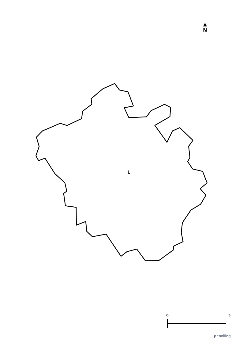
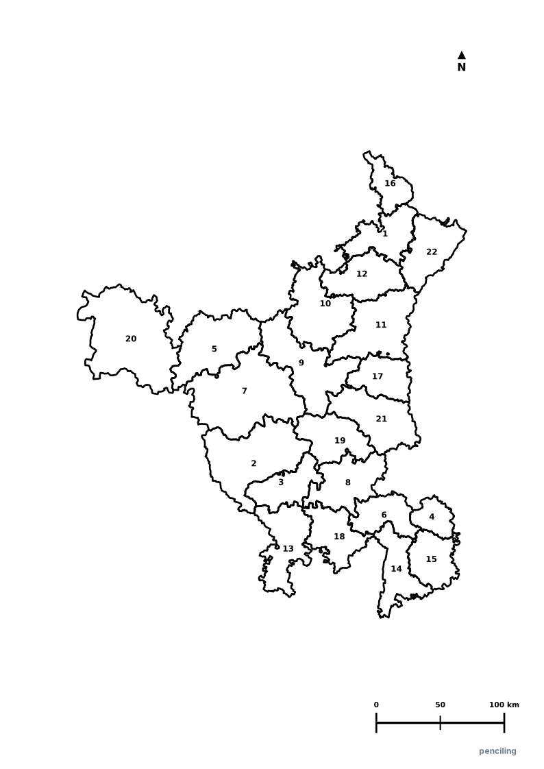
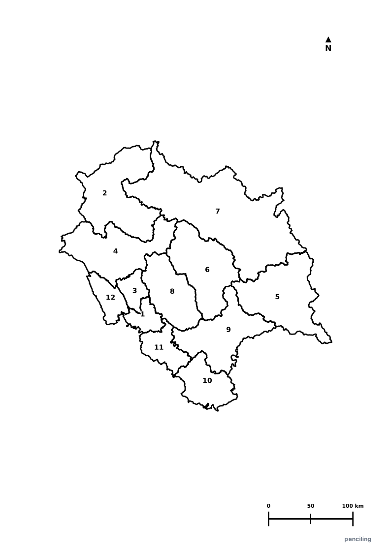
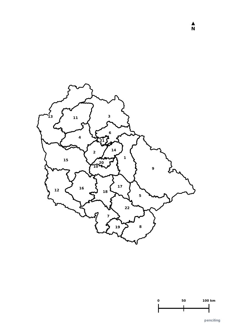
Explore free printable district maps and practice tests for neighboring states.
Explore All India Educational Maps
Official Cartographic & Boundary Standards
Verified .gov.inAdministrative boundary alignments and regional designations are aligned with official publications by theSurvey of India (National Mapping Agency)and theGovernment of NCT of Delhi (delhi.gov.in).