India Printable Map Pack
Free printable map pack for India. Includes boundary outlines, blank practice maps, quiz sheet, and answer key.
3-Page A4 Worksheet Pack
Includes Reference Map, Student Quiz Map, and Complete Answer Key in a single print-friendly PDF.
Download 3-Page Worksheet Pack🧭 Explore in Interactive AtlasIndia District Map
Interactive preview for all 36 States & Union Territories.
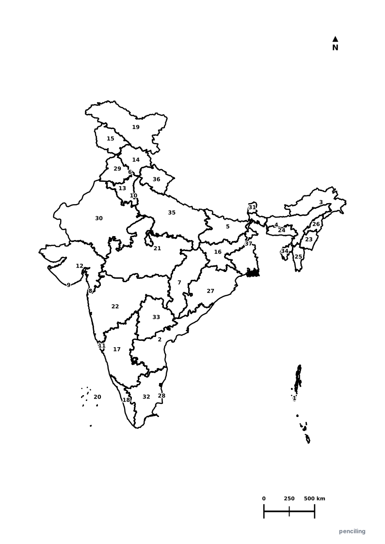
India Practice Test
Students identify each numbered State or Union Territory on the map and write the name in the test blank.
World’s Largest Democracy: India is the most populous democracy on Earth with over 1.4 billion people speaking more than 19,500 languages and dialects.
Origin of Chess & Zero: The strategic game of Chess (originally Chaturanga) and the mathematical concept of zero (shunya) were both invented in ancient India.
Highest Cricket Ground: The Chail Cricket Ground in Himachal Pradesh sits at an elevation of 2,444 meters (8,018 ft), the highest in the world.
Wettest Place on Earth: Mawsynram in Meghalaya holds the Guinness World Record for the highest annual average rainfall (~11,871 mm per year).
Only Floating Post Office: India is home to the world’s only floating post office, built on a traditional wooden houseboat on Dal Lake in Srinagar.
National Emblems & Symbols of India
National emblems, sacred flora, and iconic wildlife representing India’s cultural and natural heritage.
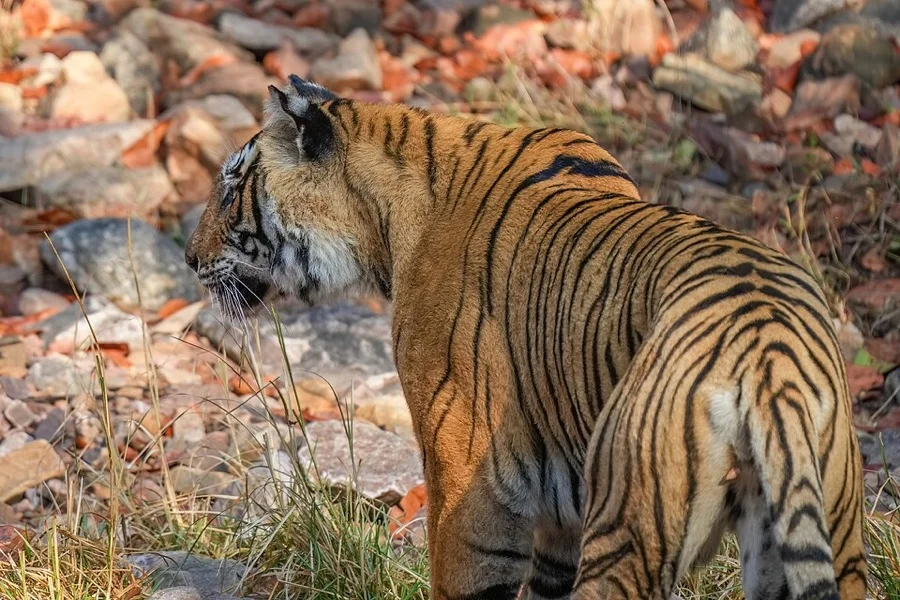
Royal Bengal Tiger
राष्ट्रीय पशु (Royal Bengal Tiger)
Panthera tigris tigris
Symbolizing grace, immense strength, and power, the Royal Bengal Tiger is protected across India's famous Project Tiger reserves.
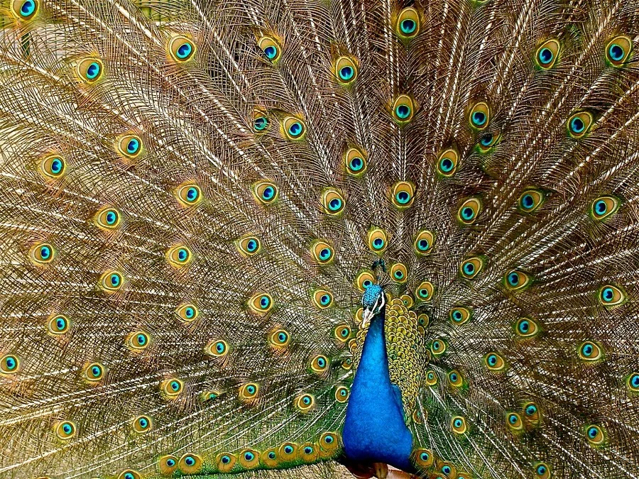
Indian Peafowl / Peacock
मयूर (Mayur)
Pavo cristatus
Celebrated in Indian mythology and classical art for its iridescent blue plumage, majestic fan dance, and crown crest.
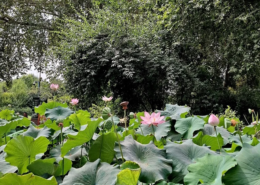
Sacred Lotus
कमल (Kamal)
Nelumbo nucifera
Rising pristine and untouched above muddy waters, the lotus is a sacred symbol of spiritual purity, beauty, and prosperity.
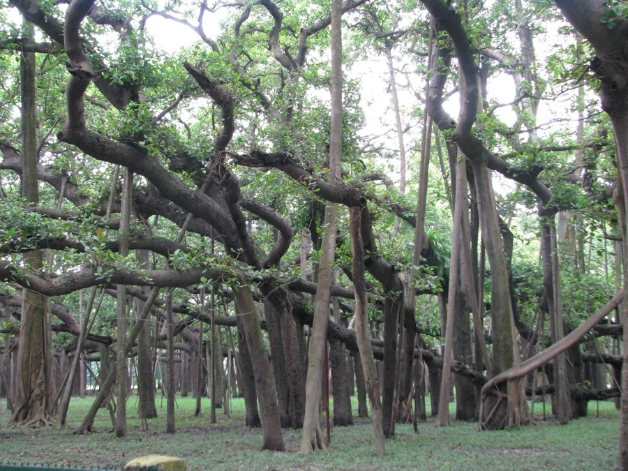
Indian Banyan Tree
वटवृक्ष (Vata Vriksha)
Ficus benghalensis
With vast spreading aerial roots that grow into secondary trunks, the eternal Banyan tree represents immortality and cosmic longevity.
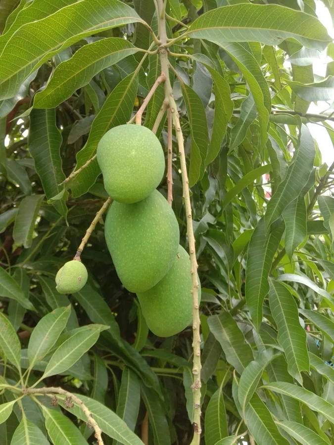
Mango
आम (Aam)
Mangifera indica
Hailed as the 'King of Fruits' in India for over 4,000 years, celebrated in poetry, summer cuisine, and festive mango leaf torans.
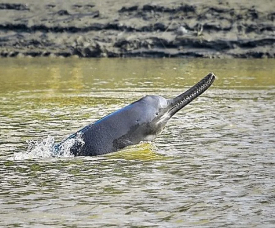
Ganges River Dolphin
गंगा सूंस (Susu)
Platanista gangetica
An ancient, almost blind freshwater dolphin that navigates the holy Ganga and Brahmaputra rivers exclusively by echolocation.
What's Inside Your 3-Page A4 PDF
Structured print-ready learning system designed for classroom study, practice recall, and self-correction.
Master Reference Map
Full geography outline with every states & ut clearly labelled for visual exploration and classroom study.
Student Quiz Worksheet
Numbered test sheet paired with structured blank answer lines for timed recall, homework, and classroom quizzes.
Complete Answer Key
Alphabetical directory and scoring index for quick self-checking, peer review, and teacher grading.
How to Use This Map Pack in Class or at Home
Complete Answer Key & Index
Alphabetical list of all 37 States & Union Territories. Click any state or UT to explore its dedicated district map and worksheets.
Official Languages of India
India celebrates extraordinary linguistic diversity. The Eighth Schedule of the Constitution of India recognizes 22 official scheduled languages, with Hindi and English serving as official languages of the Union. Click any language to explore its Wikipedia article.
More South Asia India Maps
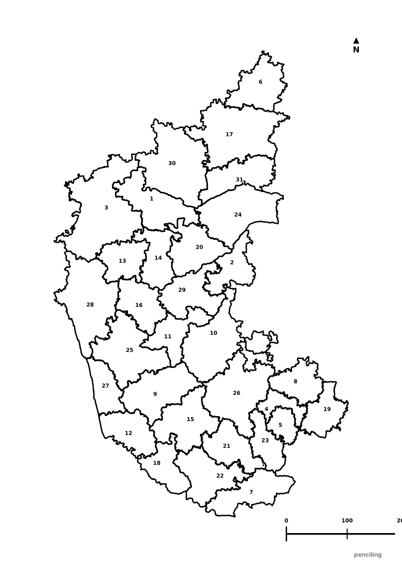
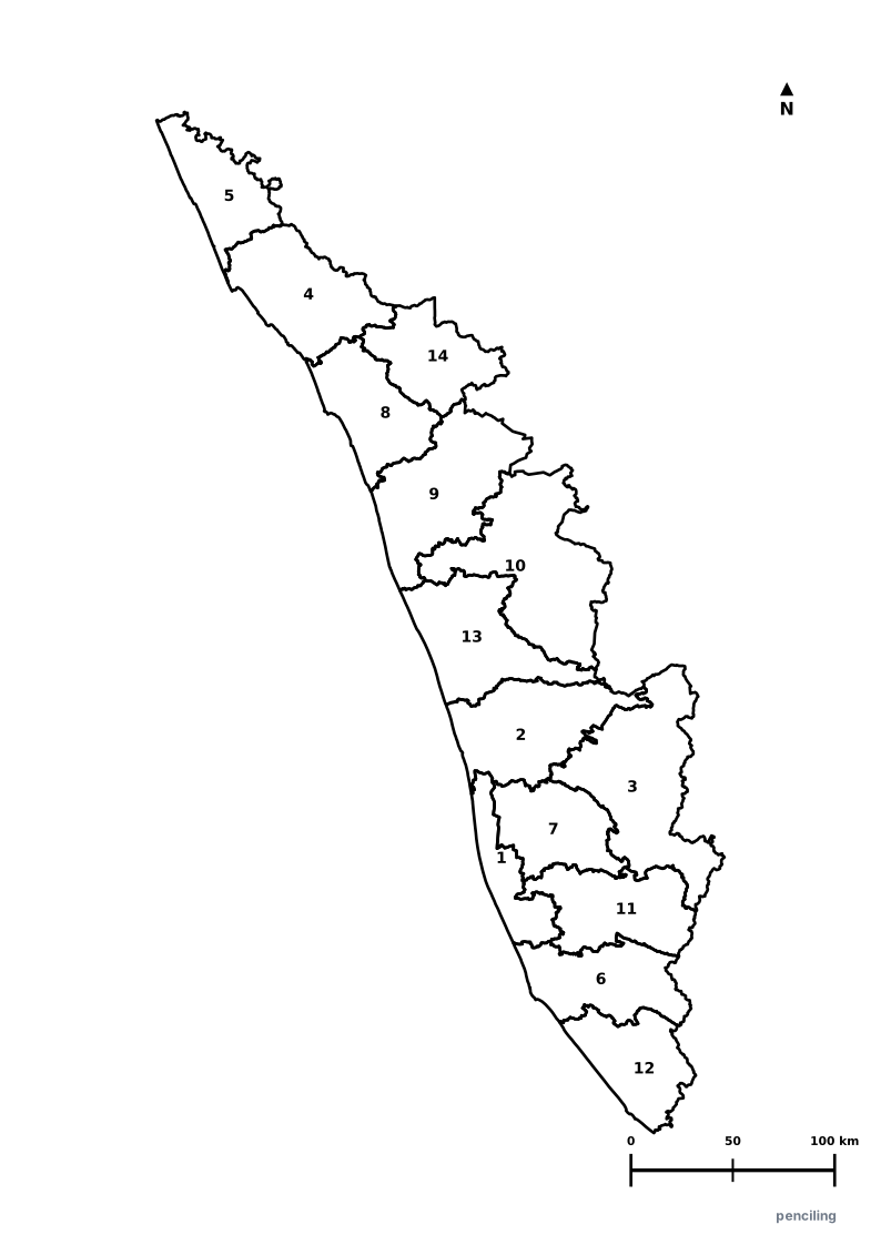
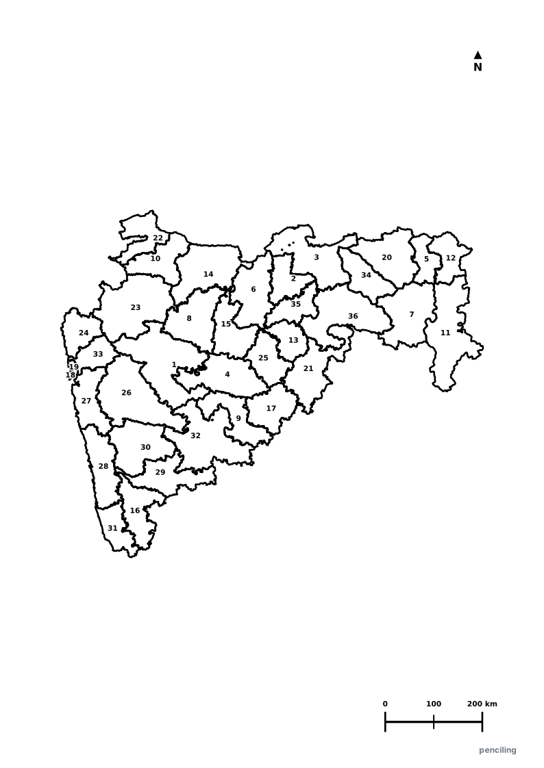
Explore free printable district maps and practice tests for neighboring states.
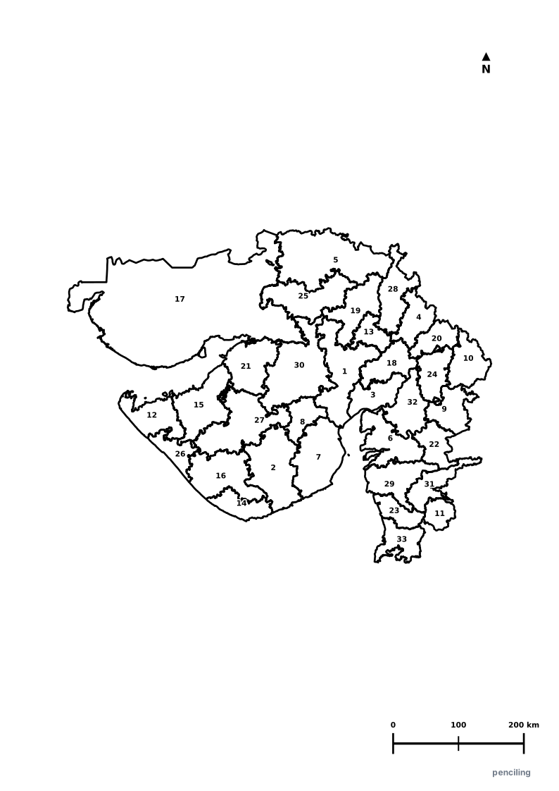
Explore All India Educational Maps
Official Cartographic & Boundary Standards
Verified .gov.inAdministrative boundary alignments and regional designations are aligned with official publications by theSurvey of India (National Mapping Agency)and theNational Portal of India (india.gov.in).