Tripura Printable Map Pack
Free printable map pack for Tripura. Includes boundary outlines, blank practice maps, quiz sheet, and answer key.
3-Page A4 Worksheet Pack
Includes Reference Map, Student Quiz Map, and Complete Answer Key in a single print-friendly PDF.
Download 3-Page Worksheet Pack🧭 Explore in Interactive AtlasTripura District Map
Interactive preview for all 8 districts.
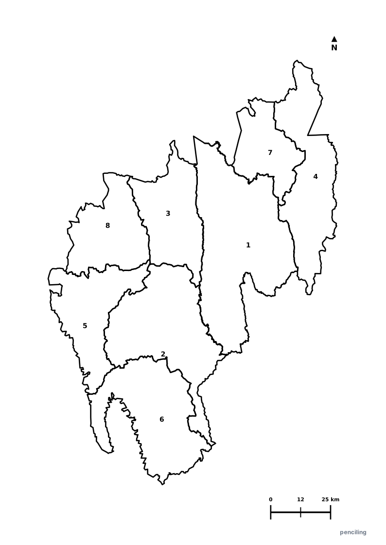
Tripura Practice Test
Students identify each numbered district and write the name in the test blank.
Lake Palace of Neermahal: The stunning Neermahal (Water Palace) sits in the middle of Rudrasagar Lake, one of only two water palaces in all of India.
Mysterious Unakoti Rock Carvings: An ancient 7th-9th century pilgrimage site featuring colossal rock-cut bas-relief Shiva sculptures carved into the Raghunandan hills.
Second Highest Rubber Producer: After Kerala, Tripura is the second-largest producer of natural rubber in India, earning it the title Rubber Capital of the Northeast.
Rich Bamboo Crafts & Tribal Heritage: Home to 19 distinct indigenous tribes, famed for exquisite split-bamboo furniture and the traditional Hojagiri balancing dance.
Ujjayanta Palace: The magnificent white neoclassical royal palace in Agartala, once home to the Manikya dynasty, now houses the State Museum.
Official State Symbols of Tripura
Official flora, fauna, and natural emblems designated to celebrate Tripura’s rich ecological and cultural heritage.
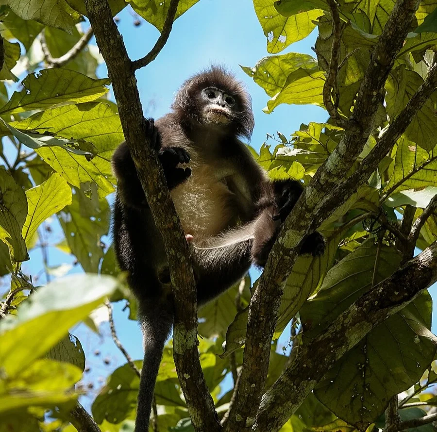
Phayre's Leaf Monkey
চশমা পরা বানর (Chashma Pora Banor)
Trachypithecus phayrei
Known as the 'Spectacled Monkey' for the prominent white rings around its eyes, leaping across Sepahijala Wildlife Sanctuary.
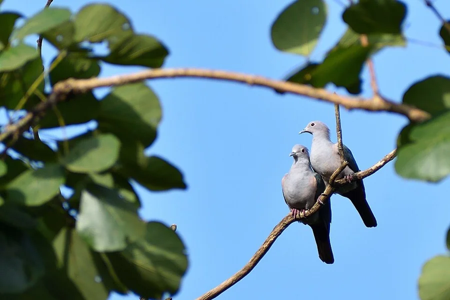
Green Imperial Pigeon
ডুমুর ঘুঘু (Dumur Ghughu)
Ducula aenea
A large forest pigeon with emerald-green metallic wings, making deep booming resonance calls in primary rainforests.
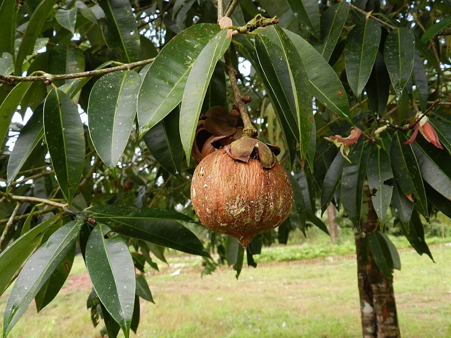
Nageshwar / Ceylon Ironwood
নাগেশ্বর (Nageshwar)
Mesua ferrea
Features large fragrant white petals with a center overflowing with golden stamens, revered for sacred temple offerings.
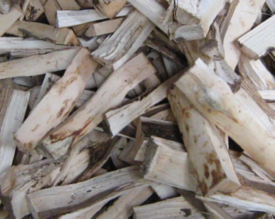
Agarwood Tree
আগর গাছ (Agar Gachh)
Aquilaria agallocha
Tripura is India's hub for precious Agarwood, famous for producing highly aromatic, world-renowned Oud perfume resin.
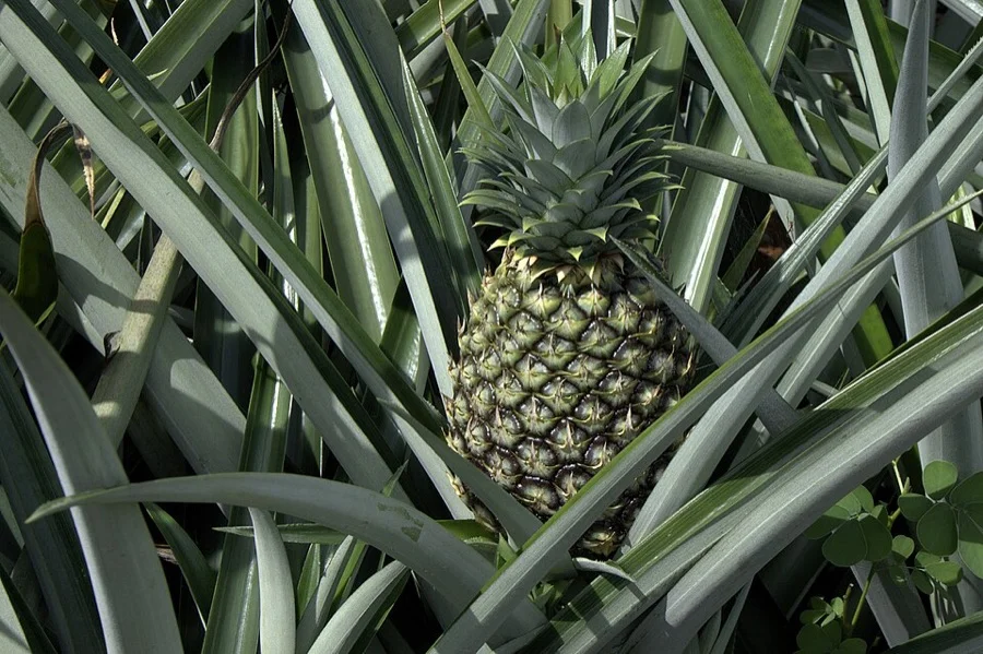
Queen Pineapple
রানী আনারস (Queen Anaras)
Ananas comosus
Awarded GI status for its pleasant golden-yellow pulp, intense sweetness, and delightfully crisp fiberless texture.
What's Inside Your 3-Page A4 PDF
Structured print-ready learning system designed for classroom study, practice recall, and self-correction.
Master Reference Map
Full geography outline with every district clearly labelled for visual exploration and classroom study.
Student Quiz Worksheet
Numbered test sheet paired with structured blank answer lines for timed recall, homework, and classroom quizzes.
Complete Answer Key
Alphabetical directory and scoring index for quick self-checking, peer review, and teacher grading.
How to Use This Map Pack in Class or at Home
Complete Answer Key & Index
Alphabetical list of all 8 districts corresponding to the Numbered Quiz Map.
Official & Regional Languages of Tripura
Recognized official, additional official, and prominent regional languages of Tripura. Click any language to explore its Wikipedia article.
Learn to Write in Bengali (বাংলা)
Generate free custom name tracing sheets, foundational sight words, and alphabet practice in authentic Bengali script typography. Built-in school notebook rulings, soft single-shape watermark guides, and instant 300 DPI vector PDF export.
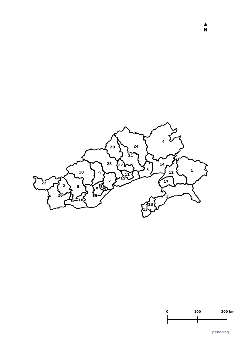
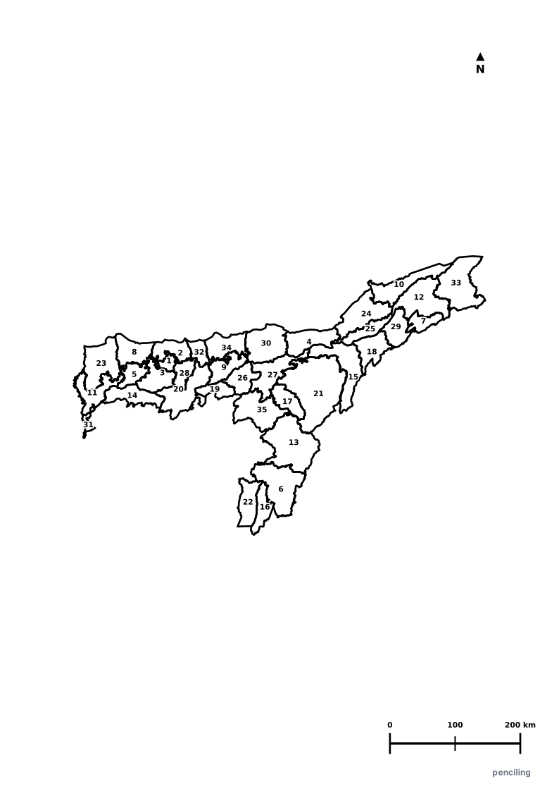
More Northeastern India India Maps
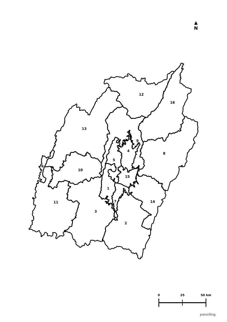
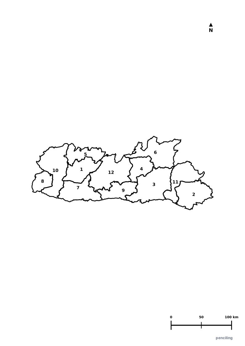
Explore free printable district maps and practice tests for neighboring states.
Explore All India Educational Maps
Official Cartographic & Boundary Standards
Verified .gov.inAdministrative boundary alignments and regional designations are aligned with official publications by theSurvey of India (National Mapping Agency)and theGovernment of Tripura (tripura.gov.in).