Andhra Pradesh Printable Map Pack
Free printable map pack for Andhra Pradesh. Includes boundary outlines, blank practice maps, quiz sheet, and answer key.
3-Page A4 Worksheet Pack
Includes Reference Map, Student Quiz Map, and Complete Answer Key in a single print-friendly PDF.
Download 3-Page Worksheet Pack🧭 Explore in Interactive AtlasAndhra Pradesh District Map
Interactive preview for all 26 districts.
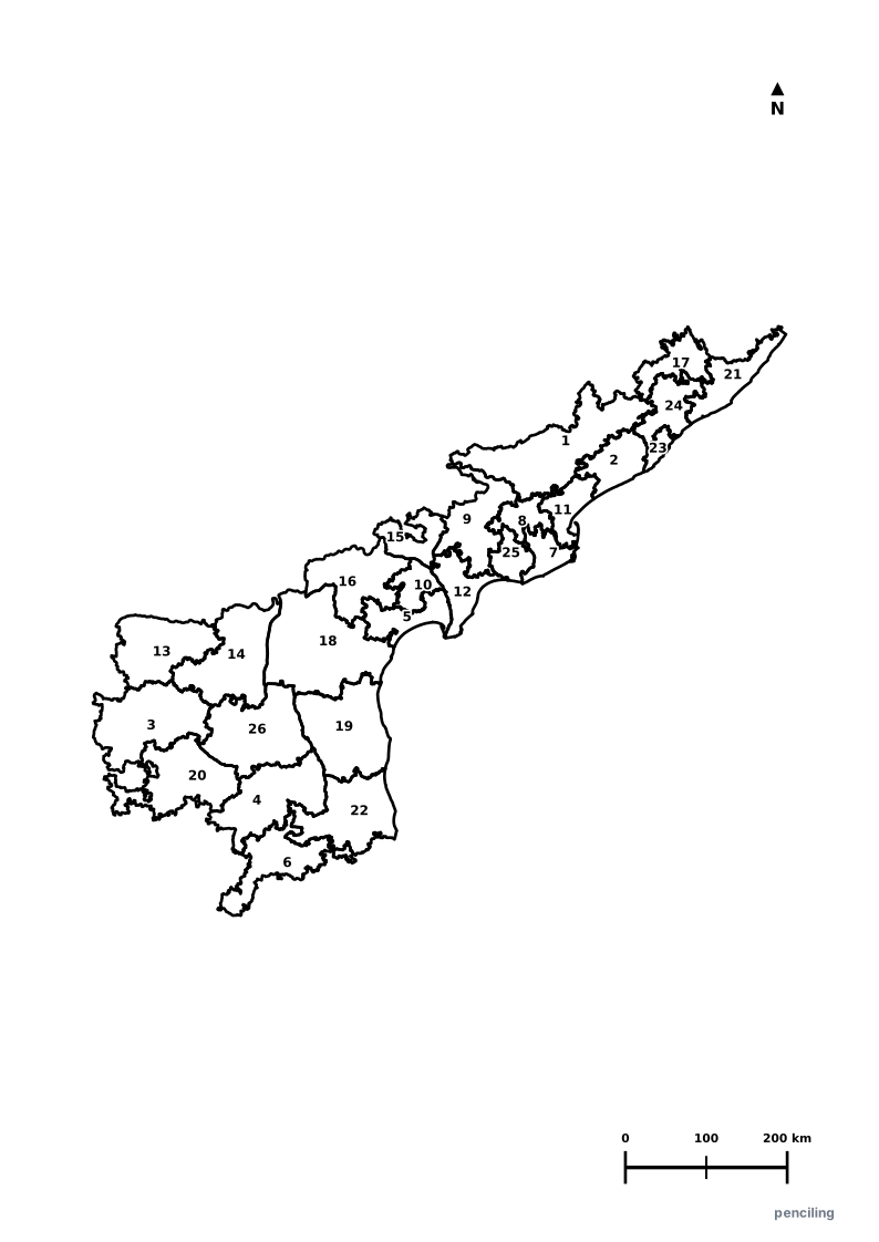
Andhra Pradesh Practice Test
Students identify each numbered district and write the name in the test blank.
Land of the Koh-i-Noor: The world-famous Koh-i-Noor and Hope diamonds were unearthed in the historic Kollur Mines in the Guntur district.
Longest Coastline in South India: Spanning 974 km along the Bay of Bengal, Andhra Pradesh boasts the second-longest mainland coastline in India.
Birthplace of Kuchipudi: The renowned classical dance form Kuchipudi originated in the historic village of Kuchipudi in Krishna district.
India’s Spaceport: Sriharikota island in Tirupati district hosts ISRO’s Satish Dhawan Space Centre, the launch base for Chandrayaan and Mangalyaan.
Million-Year-Old Borra Caves: The Borra Caves in the Ananthagiri hills are among the deepest natural limestone cave systems in India.
Official State Symbols of Andhra Pradesh
Official flora, fauna, and natural emblems designated to celebrate Andhra Pradesh’s rich ecological and cultural heritage.

Blackbuck
కృష్ణజింక (Krishna Jinka)
Antilope cervicapra
Celebrated for its majestic spiralling horns, the Blackbuck is the swiftest antelope in India and protected at Rollapadu Sanctuary.
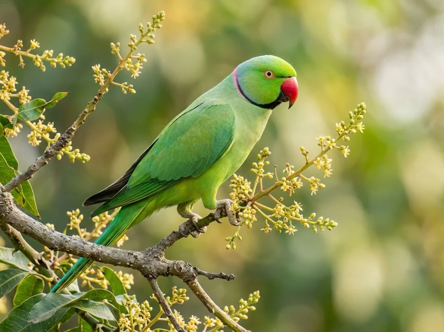
Rose-ringed Parakeet
రామచిలుక (Rama Chiluka)
Psittacula krameri
Deeply celebrated in Telugu poetry, folklore, and temple iconography for its bright emerald plumage and friendly chatter.
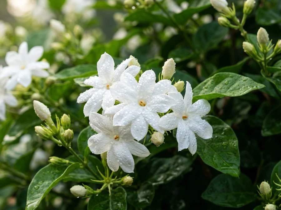
Jasmine
మల్లెపువ్వు (Malle Puvvu)
Jasminum officinale / sambac
Revered for its intoxicating sweet fragrance, freshly strung jasmine garlands are an essential symbol of Telugu festivities and temple rituals.
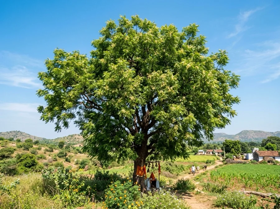
Neem Tree
వేపచెట్టు (Vepachettu)
Azadirachta indica
Worshipped as a natural healer and purifier, delicate neem blossoms are the centerpiece of traditional Telugu Ugadi Pachadi.
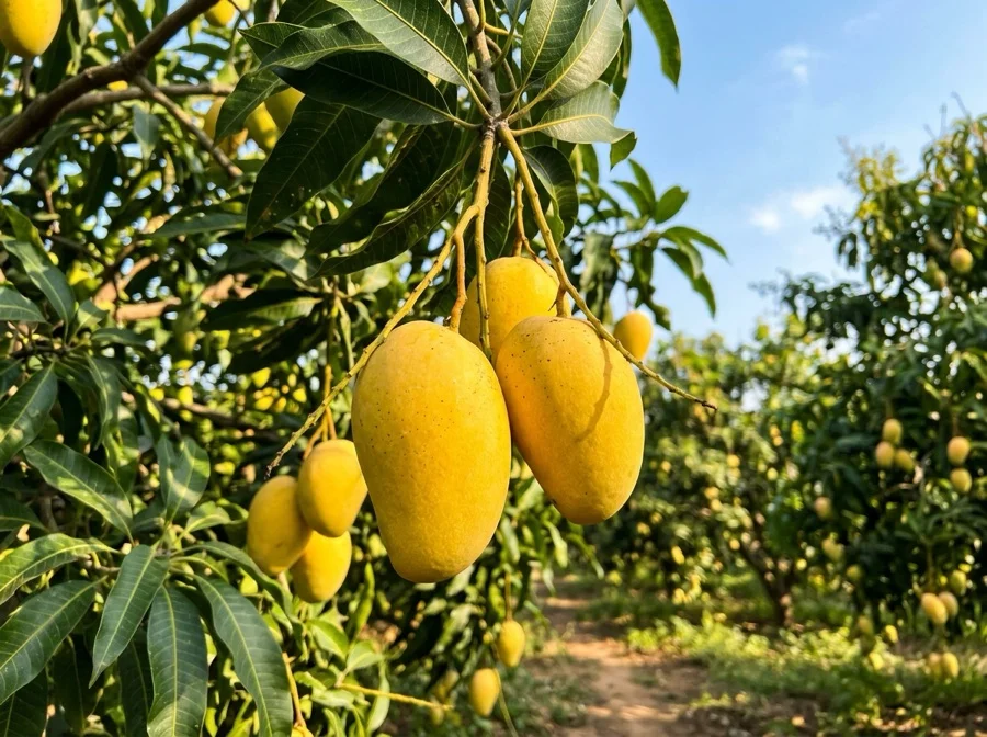
Banganapalli Mango
బనగానపల్లి మామిడి (Mamidipandu)
Mangifera indica
Originating in Banaganapalle, this GI-tagged golden mango is internationally celebrated for its rich fiberless sweet pulp.
What's Inside Your 3-Page A4 PDF
Structured print-ready learning system designed for classroom study, practice recall, and self-correction.
Master Reference Map
Full geography outline with every district clearly labelled for visual exploration and classroom study.
Student Quiz Worksheet
Numbered test sheet paired with structured blank answer lines for timed recall, homework, and classroom quizzes.
Complete Answer Key
Alphabetical directory and scoring index for quick self-checking, peer review, and teacher grading.
How to Use This Map Pack in Class or at Home
Complete Answer Key & Index
Alphabetical list of all 26 districts corresponding to the Numbered Quiz Map.
Official & Regional Languages of Andhra Pradesh
Recognized official, additional official, and prominent regional languages of Andhra Pradesh. Click any language to explore its Wikipedia article.
Learn to Write in Telugu (తెలుగు)
Generate free custom name tracing sheets, foundational sight words, and alphabet practice in authentic Telugu script typography. Built-in school notebook rulings, soft single-shape watermark guides, and instant 300 DPI vector PDF export.
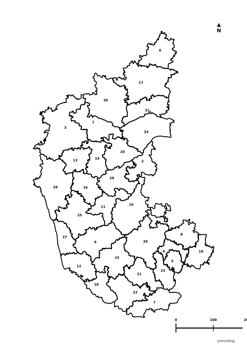
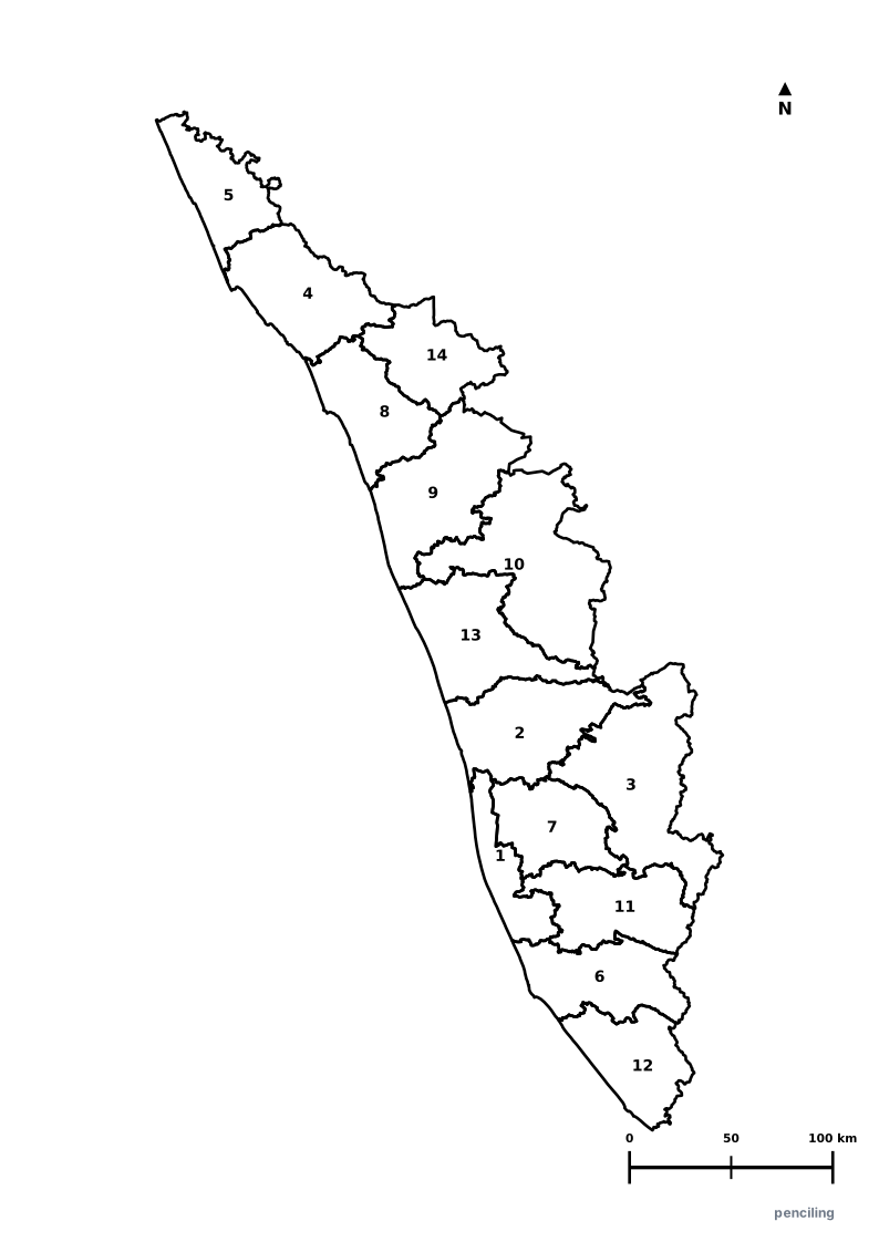
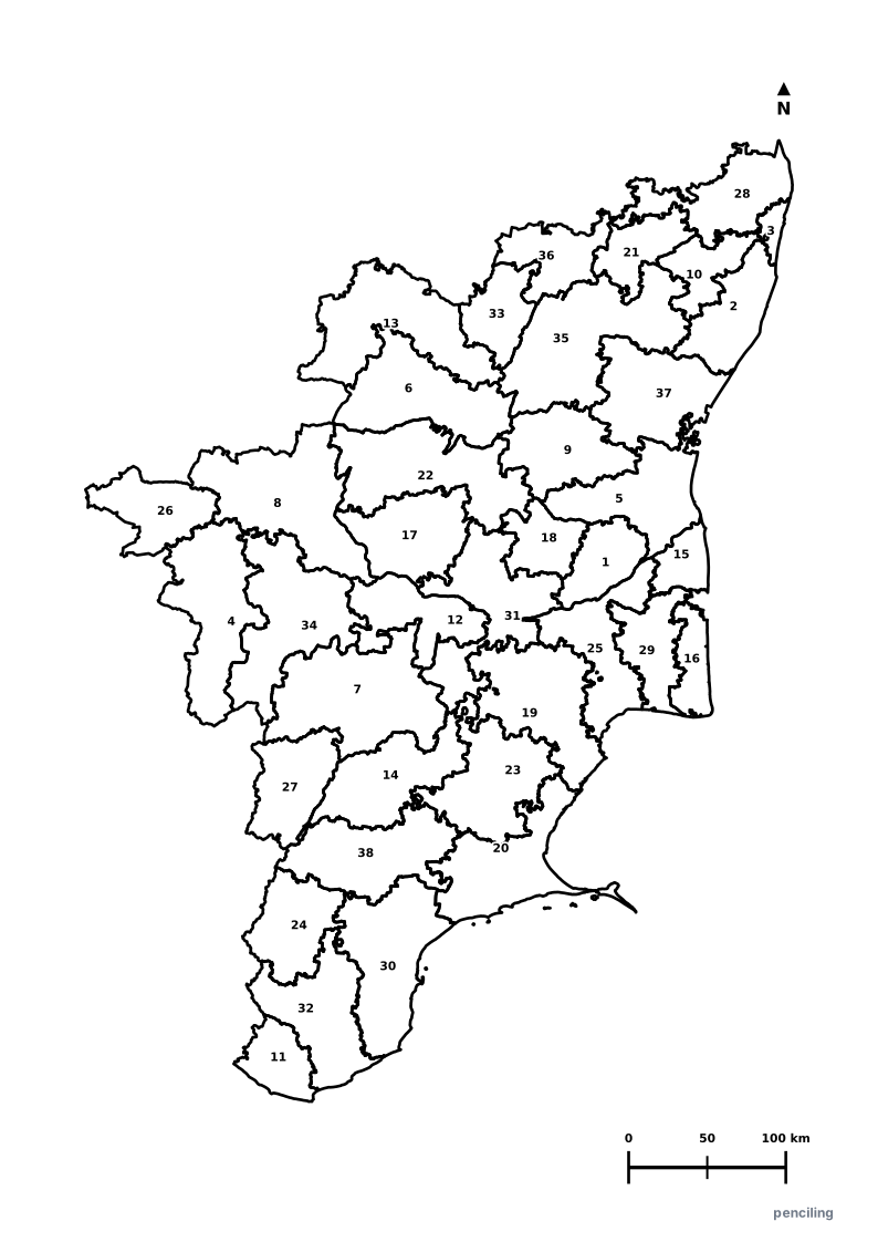
More Southern India India Maps
Explore free printable district maps and practice tests for neighboring states.

Explore All India Educational Maps
Official Cartographic & Boundary Standards
Verified .gov.inAdministrative boundary alignments and regional designations are aligned with official publications by theSurvey of India (National Mapping Agency)and theGovernment of Andhra Pradesh (ap.gov.in).