State & UT Directory
36 Regions in View
Andhra Pradesh
APAmaravati

Arunachal Pradesh
ARItanagar

Assam
ASDispur (Guwahati)
Bihar
BRPatna
Chhattisgarh
CGRaipur

Goa
GAPanaji

Gujarat
GJGandhinagar
Haryana
HRChandigarh
Himachal Pradesh
HPShimla (Summer), Dharamshala (Winter)
Jharkhand
JHRanchi
Karnataka
KABengaluru

Kerala
KLThiruvananthapuram
Madhya Pradesh
MPBhopal
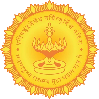
Maharashtra
MHMumbai (Financial Capital of India)

Manipur
MNImphal
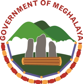
Meghalaya
MLShillong (Scotland of the East)

Mizoram
MZAizawl

Nagaland
NLKohima

Odisha
ODBhubaneswar (Temple City of India)

Punjab
PBChandigarh

Rajasthan
RJJaipur (The Pink City)
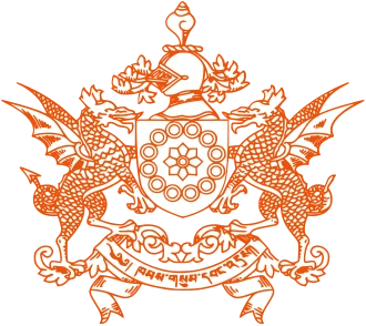
Sikkim
SKGangtok
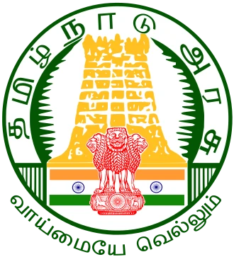
Tamil Nadu
TNChennai (Detroit of South Asia)
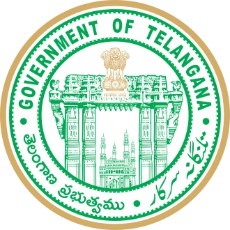
Telangana
TSHyderabad (City of Pearls & Cyberabad)
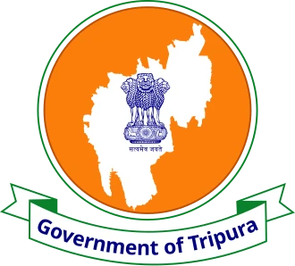
Tripura
TRAgartala

Uttar Pradesh
UPLucknow (City of Nawabs)
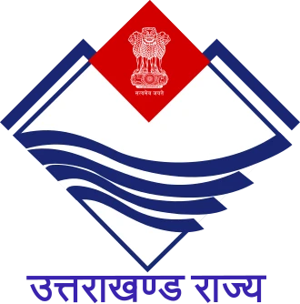
Uttarakhand
UKDehradun (Winter), Gairsain (Summer)

West Bengal
WBKolkata (City of Joy & Cultural Capital)
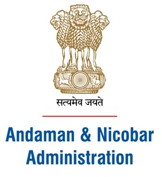
Andaman and Nicobar Islands
ANPort Blair (Sri Vijaya Puram)
Chandigarh
CHChandigarh (Joint Capital of Punjab & Haryana)

Dadra and Nagar Haveli and Daman and Diu
DNHDDDaman

Delhi (NCT of Delhi)
DLNew Delhi (National Capital of India)

Jammu and Kashmir
JKSrinagar (Summer), Jammu (Winter)
Ladakh
LALeh & Kargil

Lakshadweep
LDKavaratti
Puducherry
PYPuducherry (French Riviera of the East)
penciling.in🇮🇳 India Atlas • भारत दर्शन•28 States, 8 UTs, 780+ Districts & 43 UNESCO Sites
Explore India's Geography, Heritage Layers & Historical Statehood
An authoritative, interactive cartographic resource designed for students, educators, and lifelong learners. Discover deep geospatial data across 28 states, 8 union territories, 780+ administrative districts, and over 80 verified heritage landmarks.
43 UNESCO World Heritage Sites
Cultural • Natural • Mixed
Explore India's global cultural treasures mapped to their exact coordinates with high-resolution photo medallions. Filter across 35 Cultural monuments (Ajanta & Ellora Caves, Taj Mahal, Hampi, Sun Temple Konark), 7 Natural sanctuaries (Kaziranga, Sundarbans, Western Ghats), and Khangchendzonga Mixed park.
40 Sacred Temples & Shrines
Spanning 7 Faith Traditions
Discover architectural wonders and revered pilgrimage centres across Hinduism (Tirupati, Kedarnath, Somnath, Jagannath Puri), Sikhism (Golden Temple Amritsar), Jainism (Dilwara, Palitana), Buddhism (Mahabodhi, Sarnath), Islam (Ajmer Sharif, Hazratbal), Christianity (Bom Jesus, Velankanni), and Judaism (Paradesi Synagogue).
Official Heraldry & State Seals
36 State & UT Insignias
Verified emblems of all 28 states and 8 union territories rendered in vector detail. Examine the Ashoka lion capitals, regional Sanskrit mottos (Satyameva Jayate), state animal/bird crests, river emblems, and historical symbolism embedded in India's regional governance.
Complete State & Territory Directory
Quickly navigate to any state's interactive profile or free printable worksheet suite.
Andhra Pradesh
Amaravati
Arunachal Pradesh
Itanagar
Assam
Dispur (Guwahati)
Bihar
Patna
Chhattisgarh
Raipur
Goa
Panaji
Gujarat
Gandhinagar
Haryana
Chandigarh
Himachal Pradesh
Shimla (Summer), Dharamshala (Winter)
Jharkhand
Ranchi
Karnataka
Bengaluru
Kerala
Thiruvananthapuram
Madhya Pradesh
Bhopal
Maharashtra
Mumbai (Financial Capital of India)
Manipur
Imphal
Meghalaya
Shillong (Scotland of the East)
Mizoram
Aizawl
Nagaland
Kohima
Odisha
Bhubaneswar (Temple City of India)
Punjab
Chandigarh
Rajasthan
Jaipur (The Pink City)
Sikkim
Gangtok
Tamil Nadu
Chennai (Detroit of South Asia)
Telangana
Hyderabad (City of Pearls & Cyberabad)
Tripura
Agartala
Uttar Pradesh
Lucknow (City of Nawabs)
Uttarakhand
Dehradun (Winter), Gairsain (Summer)
West Bengal
Kolkata (City of Joy & Cultural Capital)
Andaman and Nicobar Islands
Port Blair (Sri Vijaya Puram)
Chandigarh
Chandigarh (Joint Capital of Punjab & Haryana)
Dadra and Nagar Haveli and Daman and Diu
Daman
Delhi (NCT of Delhi)
New Delhi (National Capital of India)
Jammu and Kashmir
Srinagar (Summer), Jammu (Winter)
Ladakh
Leh & Kargil
Lakshadweep
Kavaratti
Puducherry
Puducherry (French Riviera of the East)
How India's Internal Borders Evolved (1947–2026)
From Sardar Vallabhbhai Patel's historic integration of 565+ princely states to the 2019 Jammu & Kashmir Reorganisation Act, explore 8 decades of democratic statehood cartography.
Integration of Princely States
Parts A, B, C, and D administrative framework uniting 565+ princely territories into the Union.
14 States & 6 UTs
Fazal Ali Commission establishes linguistic boundaries, dissolving colonial Part A/B/C/D divisions.
Chhattisgarh, Uttarakhand, Jharkhand
Carved from Madhya Pradesh, Uttar Pradesh, and Bihar respectively to empower regional governance.
28 States & 8 Union Territories
Telangana formation (2014), J&K & Ladakh reorganisation (2019), and Dadra & Nagar Haveli merger (2020).
Frequently Asked Questions
What features are included in the Interactive India Atlas?▼
The Interactive India Atlas (भारत दर्शन) features an interactive vector map of all 28 States and 8 Union Territories with 780+ districts, 43 UNESCO World Heritage Sites, 40 sacred temples across 7 faiths, official state heraldry and seals, verified flora and fauna symbols, a 1947–2026 historical statehood boundary reorganisation time machine, state-by-state comparisons, and direct integration with 38 free printable map worksheet packs.
What UNESCO World Heritage Sites can I explore on the map?▼
The UNESCO layer maps 43 recognized World Heritage Sites across India with authentic photo medallions and category tagging: 35 Cultural sites (e.g. Taj Mahal, Ajanta & Ellora Caves, Hampi Monuments, Konark Sun Temple, Rani ki Vav), 7 Natural sites (e.g. Kaziranga, Sundarbans, Western Ghats, Keoladeo), and 1 Mixed site (Khangchendzonga National Park).
Which sacred temples and heritage shrines are featured in the map layers?▼
The sacred monuments layer features 40 iconic pilgrimage shrines across 7 major religious traditions: Hinduism (e.g. Tirupati Balaji, Kedarnath, Somnath, Jagannath Puri, Meenakshi Amman), Sikhism (Golden Temple Amritsar, Anandpur Sahib), Jainism (Dilwara, Palitana, Gommateshwara), Buddhism (Mahabodhi Temple Bodh Gaya, Sarnath), Islam (Ajmer Sharif Dargah, Hazratbal), Christianity (Basilica of Bom Jesus, Velankanni), and Judaism (Paradesi Synagogue Kochi).
How does the Historical Statehood Time Machine work?▼
The Historical Time Machine lets learners scrub through key legislative milestones from 1947 to 2026 to watch India's internal borders evolve: from Patel's integration of 565+ princely states, the 1953 creation of Andhra State, the landmark 1956 States Reorganisation Act, the 1960 Bombay State bifurcation, 1966 Punjab trifurcation, the 2000 statehood trifurcations (Chhattisgarh, Uttarakhand, Jharkhand), 2014 Telangana formation, to the 2019 Jammu & Kashmir and Ladakh reorganisation.
Can I download printable map worksheets for classroom or home practice?▼
Yes! Every state and territory links directly to a free, 3-page printable A4 PDF map worksheet pack including a reference outline map, blank practice map, numbered quiz worksheet, and full alphabetical answer key at https://www.penciling.in/maps.
Master Indian Geography & Earn Achievement Badges
Test your knowledge on state seals, UNESCO monuments, capitals, and sacred shrines in the 140+ question Bharat Darshan Quiz across 8 learning tracks.