Nagaland Printable Map Pack
Free printable map pack for Nagaland. Includes boundary outlines, blank practice maps, quiz sheet, and answer key.
3-Page A4 Worksheet Pack
Includes Reference Map, Student Quiz Map, and Complete Answer Key in a single print-friendly PDF.
Download 3-Page Worksheet Pack🧭 Explore in Interactive AtlasNagaland District Map
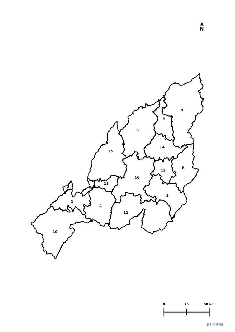
Interactive preview for all 16 districts.
Nagaland Practice Test
Students identify each numbered district and write the name in the test blank.
The Hornbill Festival: Every December, the week-long Hornbill Festival at Kisama Heritage Village unites all 16 major Naga tribes in vibrant cultural celebration.
World’s Hottest Chilli: Cultivates the legendary Bhut Jolokia (Ghost Pepper), certified by Guinness as one of the world’s most potent natural chillies (>1 million SHU).
Falcon Capital of the World: Doyang Lake hosts the largest seasonal roosting migration of Amur Falcons on Earth (over 1 million birds every autumn).
Khonoma Green Village: Asia’s first officially declared Green Village, where the Angami tribe pioneered community-enforced forest conservation and hunting bans.
Dzüko Valley of Flowers: A breathtaking high-altitude valley on the southern border famous for its seasonal blooms of endemic Dzüko lilies.
Official State Symbols of Nagaland
Official flora, fauna, and natural emblems designated to celebrate Nagaland’s rich ecological and cultural heritage.
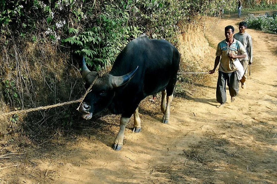
Mithun / Gayal
Mithun
Bos frontalis
Known as the 'Cattle of the Hills', the Mithun is a cornerstone of Naga cultural heritage, traditional wealth, and community celebrations.

Blyth's Tragopan
Gegheu
Tragopan blythii
A magnificent horned pheasant protected in the community forests of Khonoma village, India's first green village.
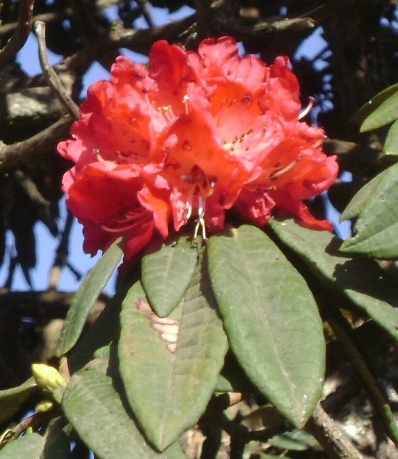
Tree Rhododendron
Rhododendron arboreum
Rhododendron arboreum
Nagaland's Japfu Peak is home to the world's tallest recorded Rhododendron tree, standing over 20 meters high.

Nepalese Alder
Alder Tree
Alnus nepalensis
Naga farmers practice traditional sustainable agro-forestry by pollarding nitrogen-fixing Alder trees alongside terraced crops.
What's Inside Your 3-Page A4 PDF
Structured print-ready learning system designed for classroom study, practice recall, and self-correction.
Master Reference Map
Full geography outline with every district clearly labelled for visual exploration and classroom study.
Student Quiz Worksheet
Numbered test sheet paired with structured blank answer lines for timed recall, homework, and classroom quizzes.
Complete Answer Key
Alphabetical directory and scoring index for quick self-checking, peer review, and teacher grading.
How to Use This Map Pack in Class or at Home
Complete Answer Key & Index
Alphabetical list of all 16 districts corresponding to the Numbered Quiz Map.
Official & Regional Languages of Nagaland
Recognized official, additional official, and prominent regional languages of Nagaland. Click any language to explore its Wikipedia article.
Learn to Write in English (English)
Generate free custom name tracing sheets, foundational sight words, and alphabet practice in authentic English script typography. Built-in school notebook rulings, soft single-shape watermark guides, and instant 300 DPI vector PDF export.
More Northeastern India India Maps
Explore free printable district maps and practice tests for neighboring states.
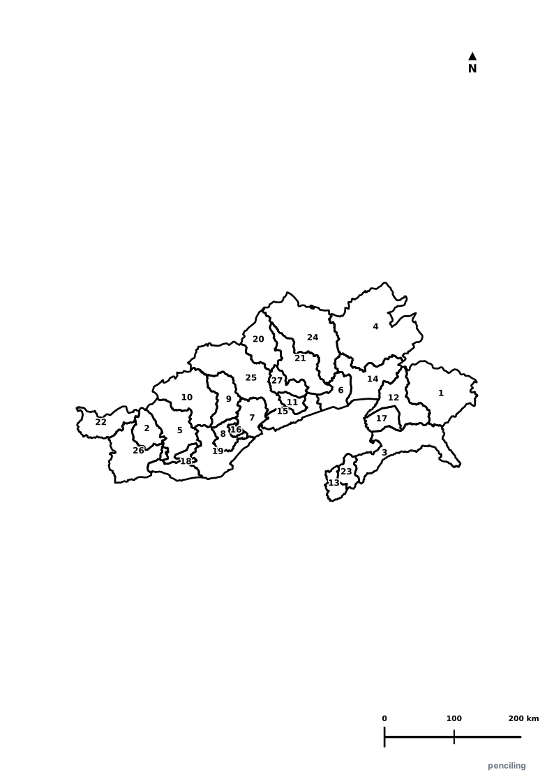
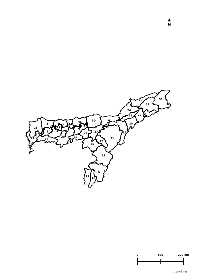
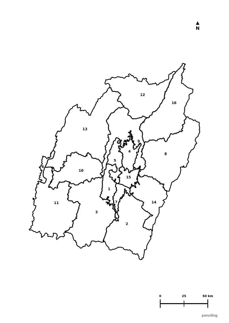
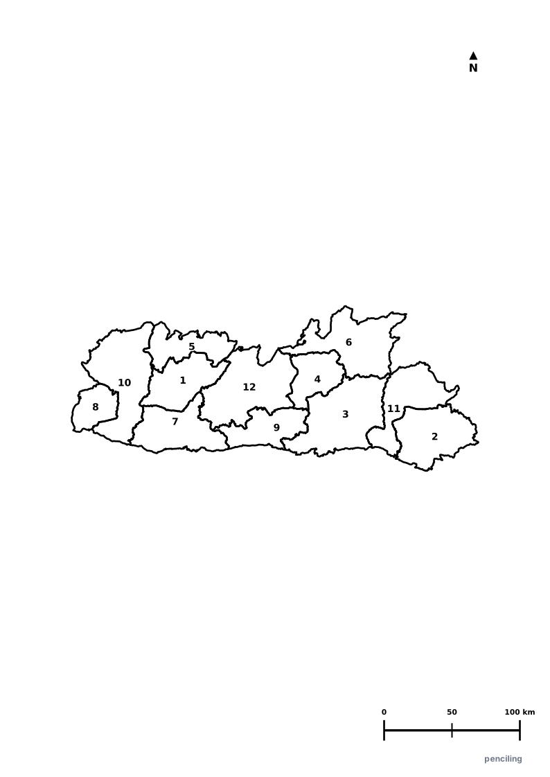
Explore All India Educational Maps
Official Cartographic & Boundary Standards
Verified .gov.inAdministrative boundary alignments and regional designations are aligned with official publications by theSurvey of India (National Mapping Agency)and theGovernment of Nagaland (nagaland.gov.in).