Maharashtra Printable Map Pack
Free printable map pack for Maharashtra. Includes boundary outlines, blank practice maps, quiz sheet, and answer key.
3-Page A4 Worksheet Pack
Includes Reference Map, Student Quiz Map, and Complete Answer Key in a single print-friendly PDF.
Download 3-Page Worksheet Pack🧭 Explore in Interactive AtlasMaharashtra District Map
Interactive preview for all 36 districts.
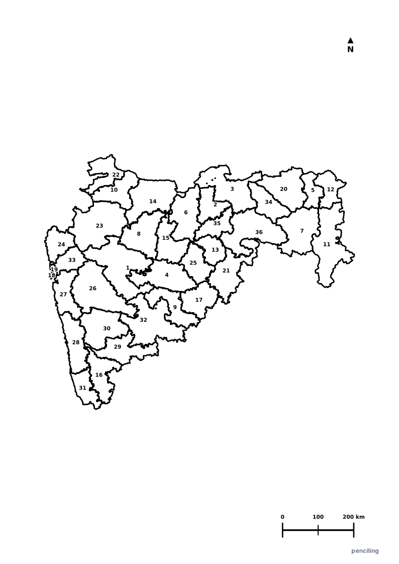
Maharashtra Practice Test
Students identify each numbered district and write the name in the test blank.
Economic Powerhouse of India: Contributes over 14% of India’s GDP, with capital Mumbai serving as the nation’s financial, banking, and Bollywood capital.
UNESCO Ajanta & Ellora Caves: Ellora’s Kailash Temple (Cave 16) is the world’s largest monolithic rock-cut structure, carved top-down from a single basalt cliff.
Meteorite Crater Lake at Lonar: Lonar Lake in Buldhana district was created by a hypervelocity meteor impact 52,000 years ago and is both saline and alkaline.
Shivaji Maharaj Forts: Features over 350 historic hill and sea forts (including Raigad, Sinhagad, and Sindhudurg) engineered into the Western Ghats.
World-Famous Alphonso Mangoes: The coastal Konkan belt (Ratnagiri and Devgad) produces world-renowned golden Alphonso (Hapus) mangoes.
Official State Symbols of Maharashtra
Official flora, fauna, and natural emblems designated to celebrate Maharashtra’s rich ecological and cultural heritage.
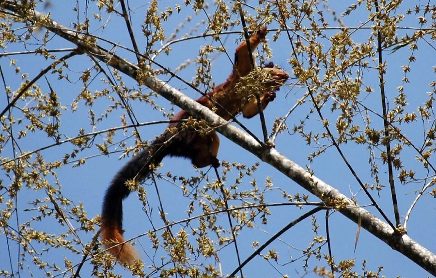
Indian Giant Squirrel / Shekru
शेकरू (Shekru)
Ratufa indica
With a striking maroon coat and bushy two-foot tail, this canopy acrobat is protected at Bhimashankar Wildlife Sanctuary.
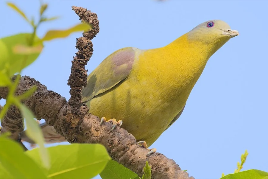
Yellow-footed Green Pigeon / Hariyal
हरियाल (Hariyal)
Treron phoenicopterus
A canopy-dwelling frugivore with bright mustard-yellow legs and pastel plumage, rarely ever setting foot on bare ground.
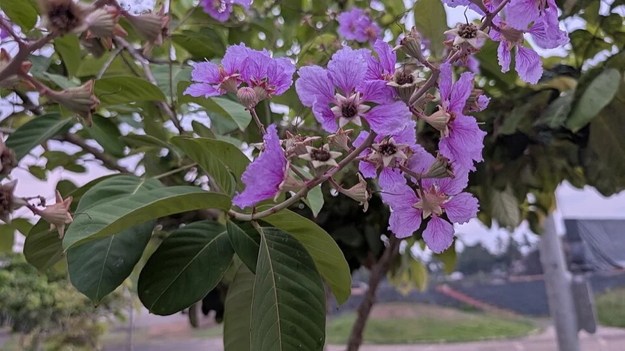
Jarul / Pride of India
ताम्हण (Tamhan / Jarul)
Lagerstroemia speciosa
Bursts into breathtaking crinkled purple and mauve panicles across Maharashtra's Western Ghats during peak summer.
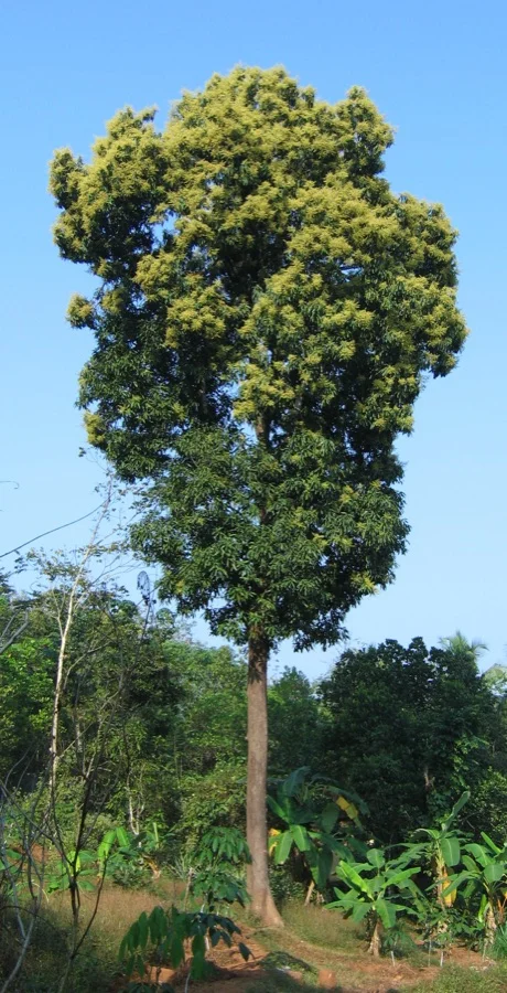
Mango Tree
आंबा (Amba)
Mangifera indica
Maharashtra's coastal Konkan belt produces the world-renowned Alphonso (Hapus) mango, renowned for its golden hue and creamy taste.
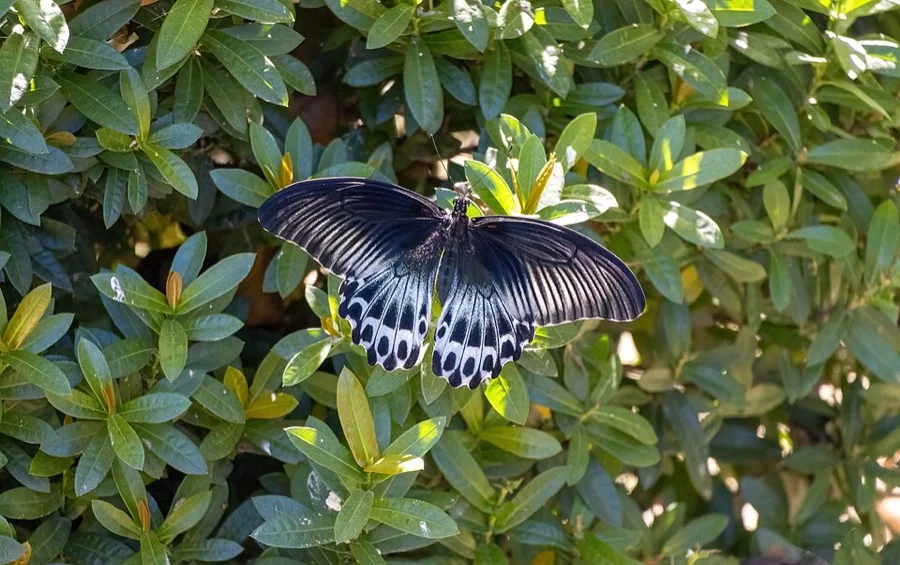
Blue Mormon
ब्लू मॉर्मन
Papilio polymnestor
Maharashtra became the first Indian state to declare an official state butterfly with this dazzling velvet-blue swallowtail.
What's Inside Your 3-Page A4 PDF
Structured print-ready learning system designed for classroom study, practice recall, and self-correction.
Master Reference Map
Full geography outline with every district clearly labelled for visual exploration and classroom study.
Student Quiz Worksheet
Numbered test sheet paired with structured blank answer lines for timed recall, homework, and classroom quizzes.
Complete Answer Key
Alphabetical directory and scoring index for quick self-checking, peer review, and teacher grading.
How to Use This Map Pack in Class or at Home
Complete Answer Key & Index
Alphabetical list of all 36 districts corresponding to the Numbered Quiz Map.
Official & Regional Languages of Maharashtra
Recognized official, additional official, and prominent regional languages of Maharashtra. Click any language to explore its Wikipedia article.
Learn to Write in Marathi (मराठी)
Generate free custom name tracing sheets, foundational sight words, and alphabet practice in authentic Marathi script typography. Built-in school notebook rulings, soft single-shape watermark guides, and instant 300 DPI vector PDF export.
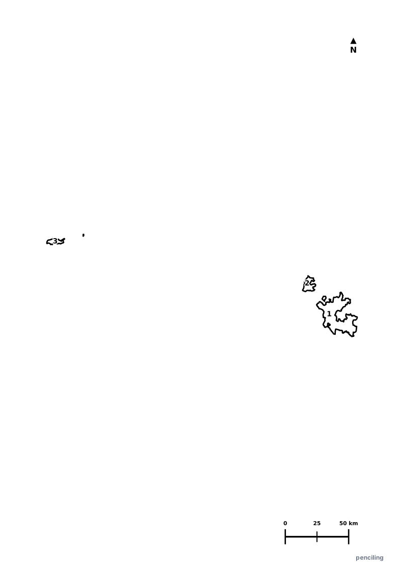
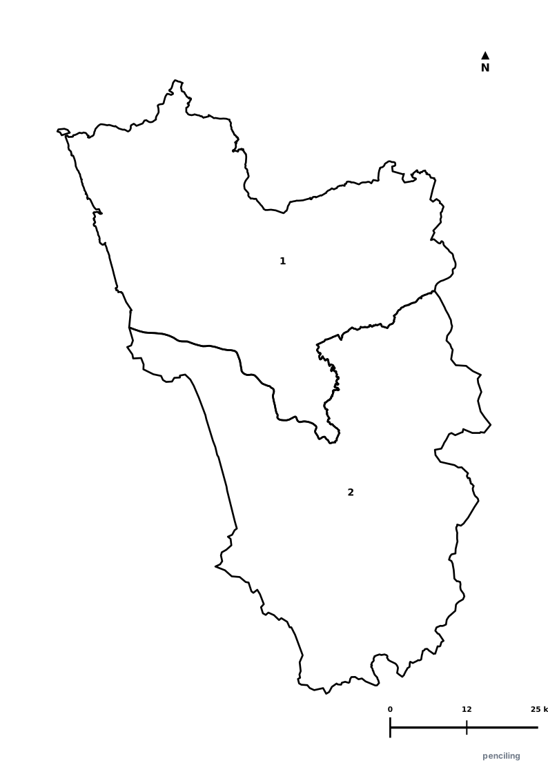
More Western India India Maps
Explore free printable district maps and practice tests for neighboring states.
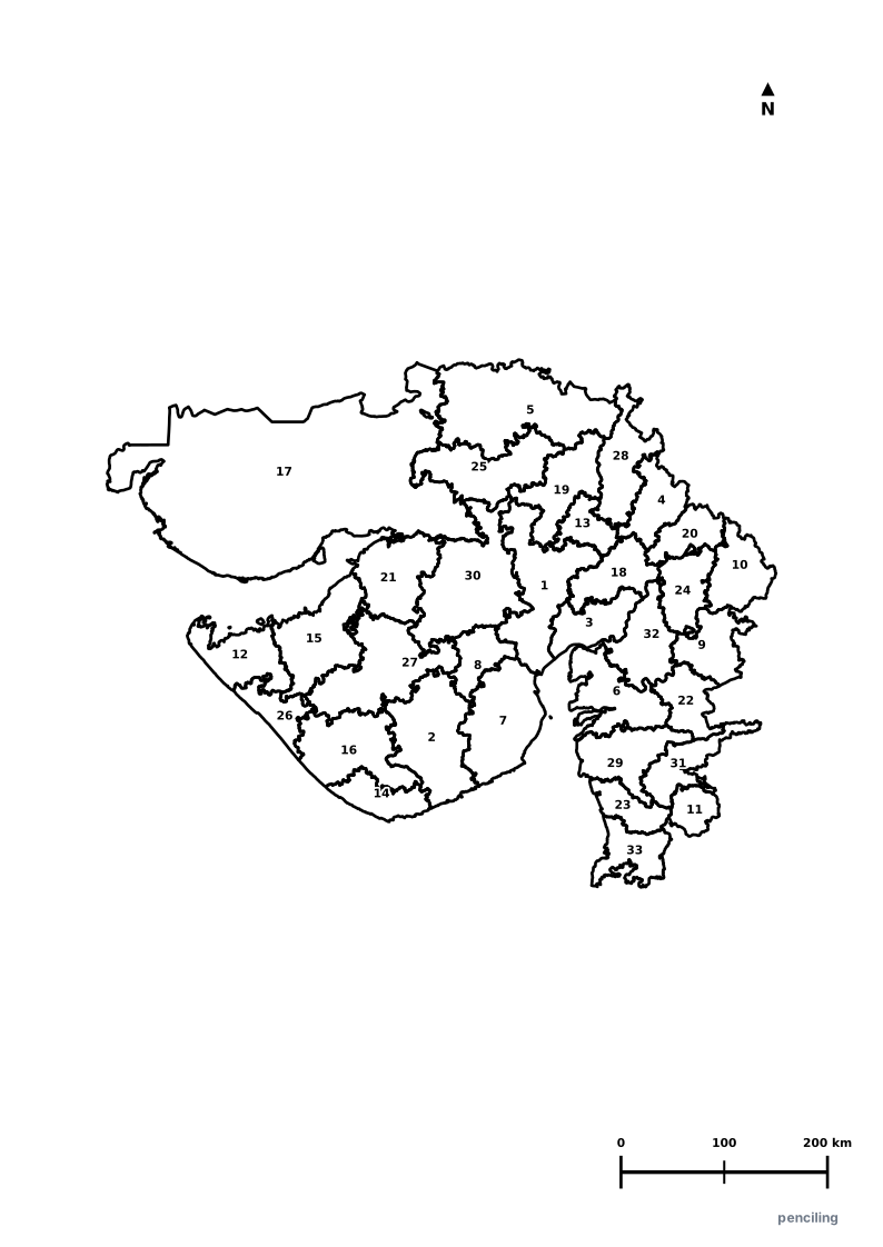
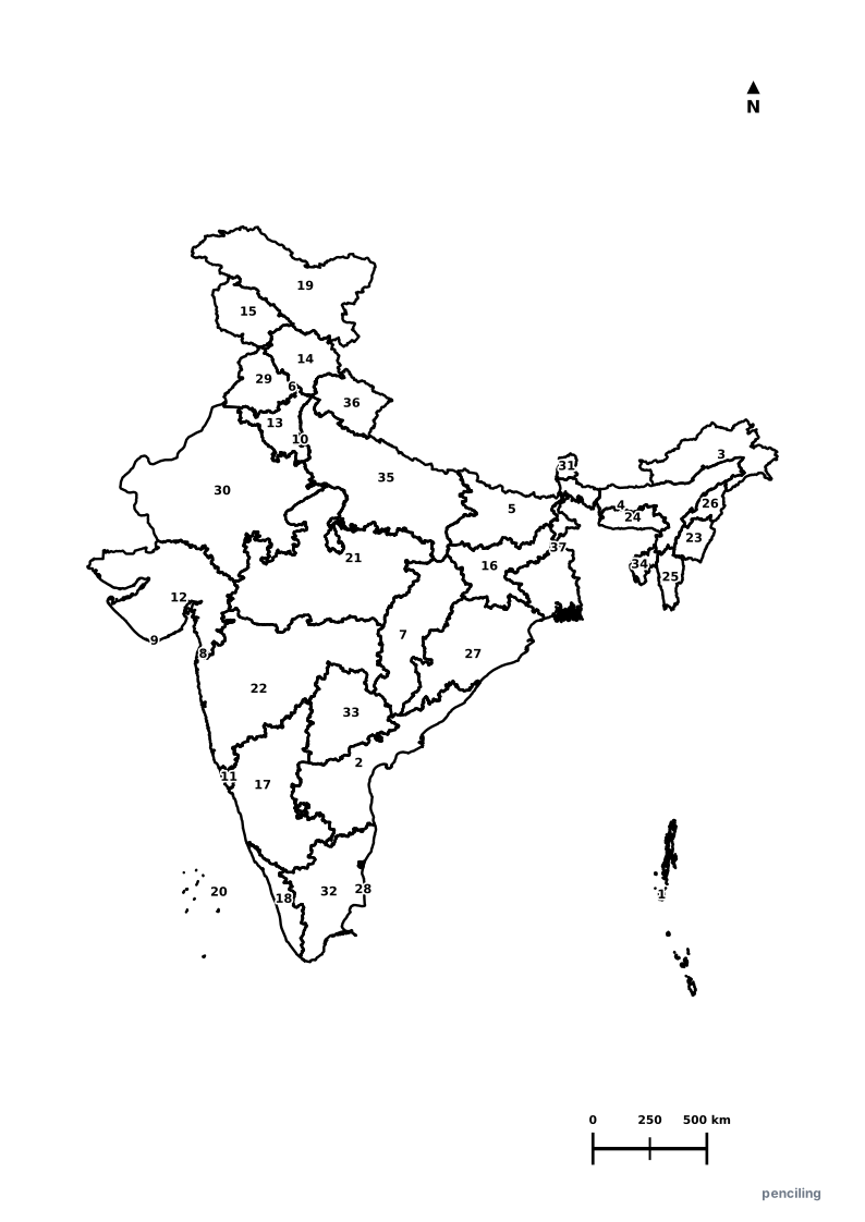
Explore All India Educational Maps
Official Cartographic & Boundary Standards
Verified .gov.inAdministrative boundary alignments and regional designations are aligned with official publications by theSurvey of India (National Mapping Agency)and theGovernment of Maharashtra (maharashtra.gov.in).