Uttar Pradesh Printable Map Pack
Free printable map pack for Uttar Pradesh. Includes boundary outlines, blank practice maps, quiz sheet, and answer key.
3-Page A4 Worksheet Pack
Includes Reference Map, Student Quiz Map, and Complete Answer Key in a single print-friendly PDF.
Download 3-Page Worksheet Pack🧭 Explore in Interactive AtlasUttar Pradesh District Map
Interactive preview for all 75 districts.
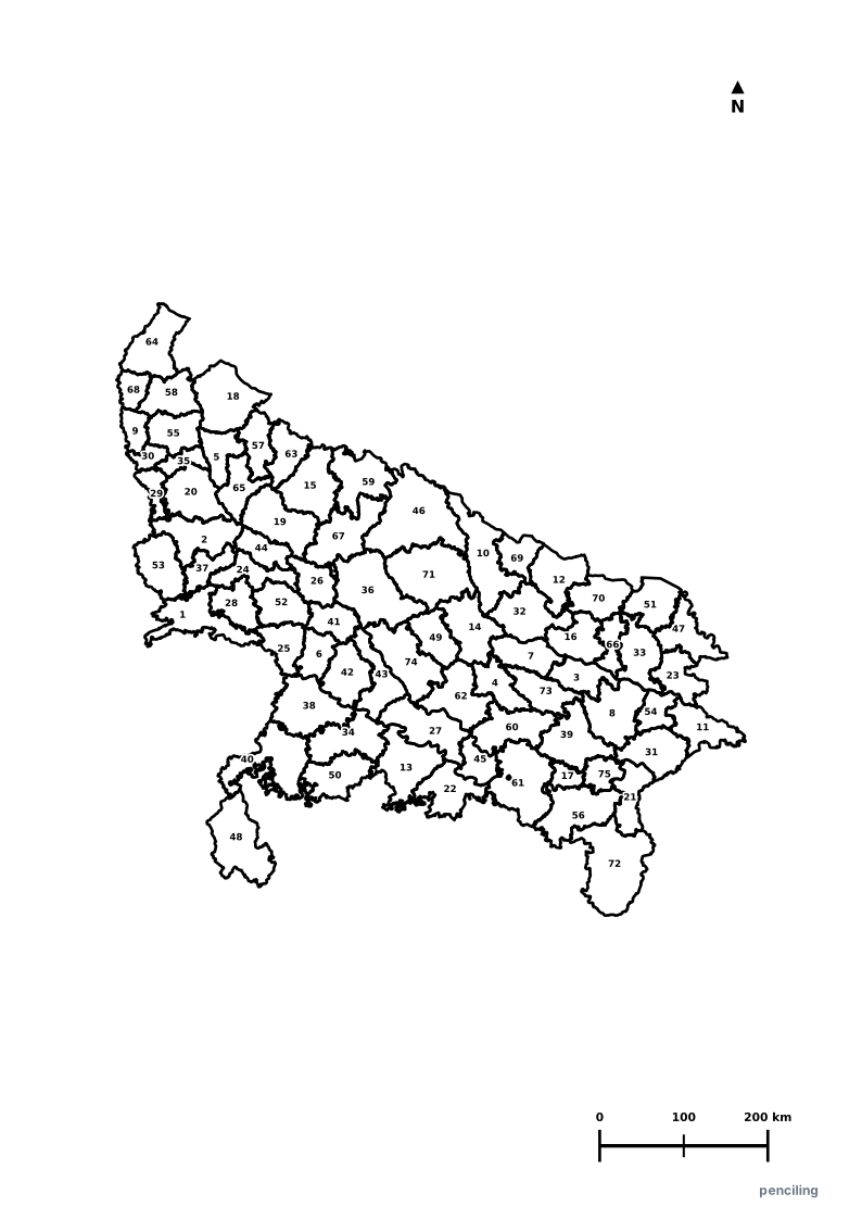
Uttar Pradesh Practice Test
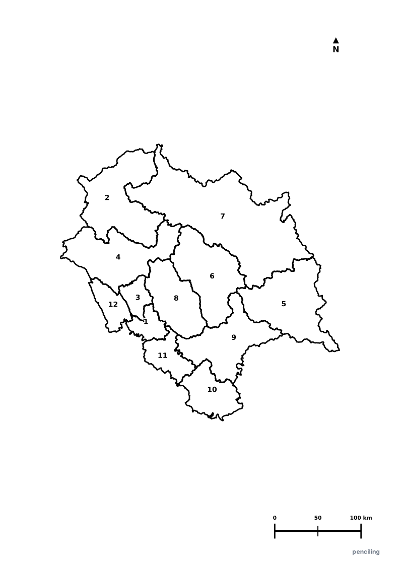
Students identify each numbered district and write the name in the test blank.
Most Populous State in India: With over 240 million residents, if UP were an independent nation, it would be the world’s 5th most populous country.
Home of the Taj Mahal: The 17th-century white marble mausoleum in Agra is one of the Seven Wonders of the World and a UNESCO World Heritage monument.
World’s Oldest Continuously Inhabited City: Varanasi (Kashi) on the sacred Ganges is regarded as one of the world’s oldest living cities, existing for over 3,000 years.
Largest Human Gathering on Earth: The Kumbh Mela at Prayagraj (confluence of Ganga, Yamuna, and Saraswati) gathers over 100 million pilgrims.
Birthplace of Classical Kathak: The Lucknow Gharana refined the classical dance form Kathak, known for lightning-fast spins (chakkars) and rhythmic footwork.
Official State Symbols of Uttar Pradesh
Official flora, fauna, and natural emblems designated to celebrate Uttar Pradesh’s rich ecological and cultural heritage.
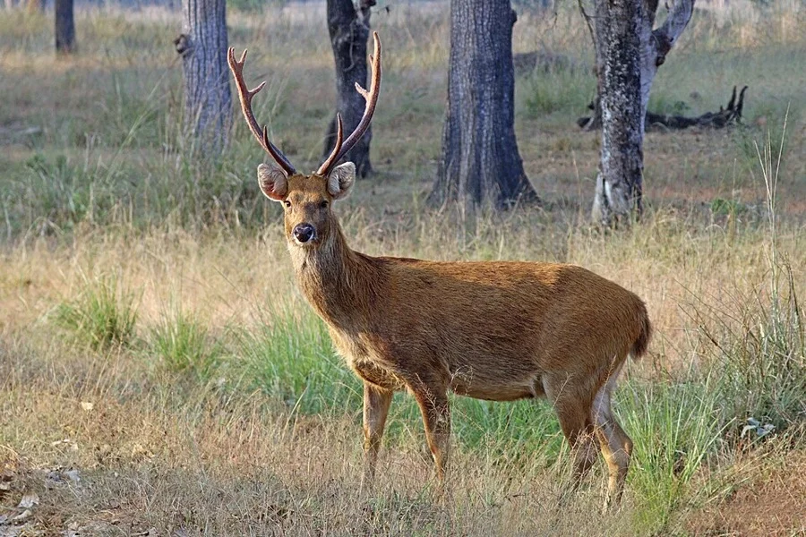
Swamp Deer / Barasingha
बारहसिंगा (Barasingha)
Rucervus duvaucelii
Named for its majestic antlers that feature 12 or more points, thriving in the marshes of Dudhwa National Park in the Terai region.
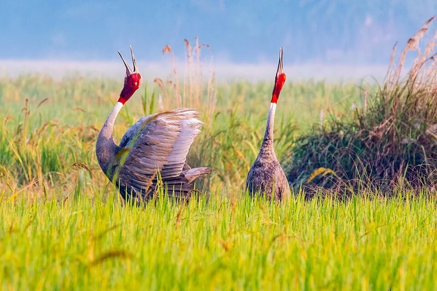
Sarus Crane
सारस क्रेन (Sarus Crane)
Antigone antigone
Standing up to 1.8 meters tall, the Sarus is the world's tallest flying bird, celebrated as a lifelong symbol of marital fidelity.
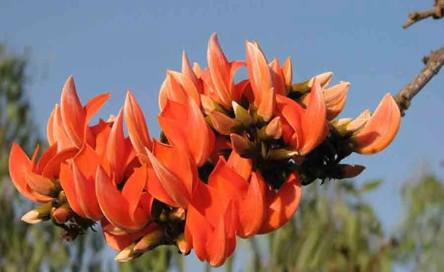
Palash / Flame of the Forest
पलाश (Palash)
Butea monosperma
Sets entire forests ablaze with radiant orange blooms in spring, historically used to prepare natural herbal Gulal colors for Holi.
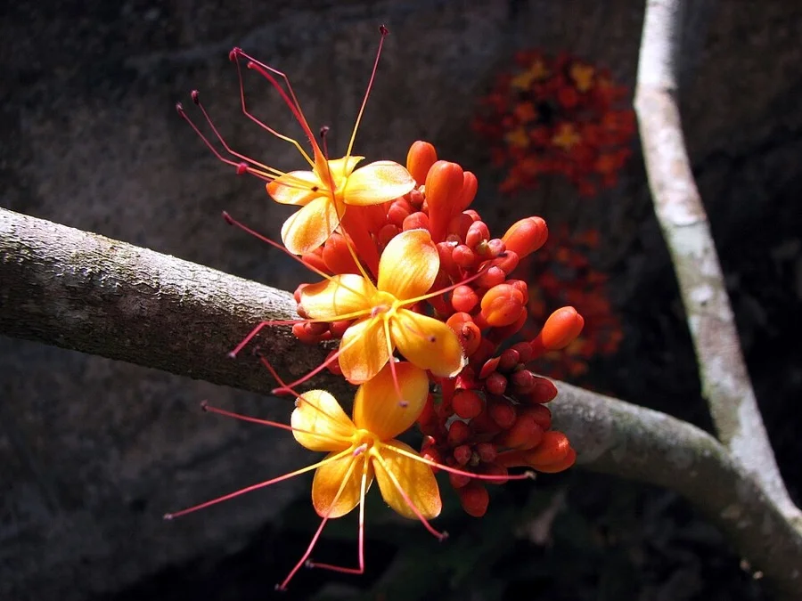
Ashoka Tree
अशोक (Ashoka Vriksha)
Saraca asoca
Its Sanskrit name literally translates to 'without sorrow'; prized for fragrant orange-yellow floral clusters and medicinal bark.
What's Inside Your 3-Page A4 PDF
Structured print-ready learning system designed for classroom study, practice recall, and self-correction.
Master Reference Map
Full geography outline with every district clearly labelled for visual exploration and classroom study.
Student Quiz Worksheet
Numbered test sheet paired with structured blank answer lines for timed recall, homework, and classroom quizzes.
Complete Answer Key
Alphabetical directory and scoring index for quick self-checking, peer review, and teacher grading.
How to Use This Map Pack in Class or at Home
Complete Answer Key & Index
Alphabetical list of all 75 districts corresponding to the Numbered Quiz Map.
Official & Regional Languages of Uttar Pradesh
Recognized official, additional official, and prominent regional languages of Uttar Pradesh. Click any language to explore its Wikipedia article.
Learn to Write in Hindi (हिन्दी)
Generate free custom name tracing sheets, foundational sight words, and alphabet practice in authentic Hindi script typography. Built-in school notebook rulings, soft single-shape watermark guides, and instant 300 DPI vector PDF export.
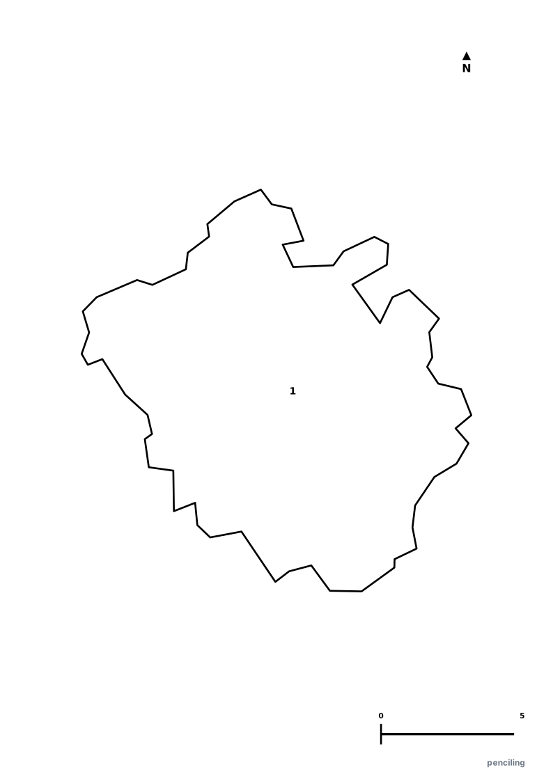
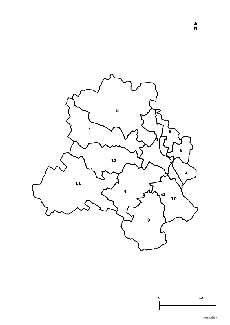
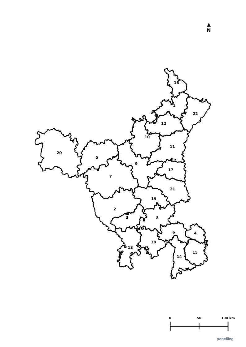
More Northern India India Maps
Explore free printable district maps and practice tests for neighboring states.
Explore All India Educational Maps
Official Cartographic & Boundary Standards
Verified .gov.inAdministrative boundary alignments and regional designations are aligned with official publications by theSurvey of India (National Mapping Agency)and theGovernment of Uttar Pradesh (up.gov.in).