Bihar Printable Map Pack
Free printable map pack for Bihar. Includes boundary outlines, blank practice maps, quiz sheet, and answer key.
3-Page A4 Worksheet Pack
Includes Reference Map, Student Quiz Map, and Complete Answer Key in a single print-friendly PDF.
Download 3-Page Worksheet Pack🧭 Explore in Interactive AtlasBihar District Map
Interactive preview for all 38 districts.
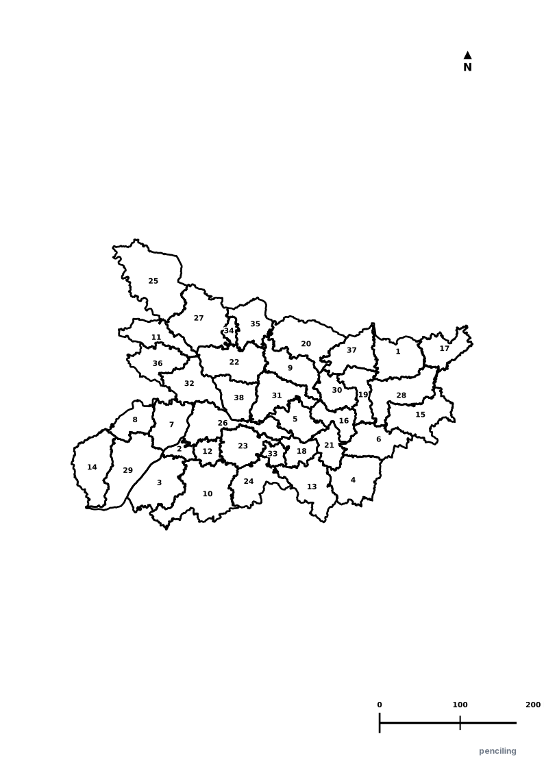
Bihar Practice Test
Students identify each numbered district and write the name in the test blank.
Cradle of Ancient Universities: Ancient Nalanda and Vikramashila Universities attracted international scholars from Greece, China, and Persia over 1,500 years ago.
Seat of Enlightenment: Bodh Gaya is where Gautama Buddha attained enlightenment under the sacred Bodhi Tree, making it the most revered site in Buddhism.
First Republic in History: The ancient Licchavi republic of Vaishali is regarded by historians as one of the world’s earliest known democratic republics.
Origin of the Name: The name Bihar is derived from the Sanskrit word Vihara, meaning the ancient Buddhist monasteries that once dotted its landscape.
Asia’s Largest Cattle Fair: The historic Sonepur Mela, held on the banks of the Gandak River, is one of Asia’s largest traditional animal and cultural fairs.
Official State Symbols of Bihar
Official flora, fauna, and natural emblems designated to celebrate Bihar’s rich ecological and cultural heritage.
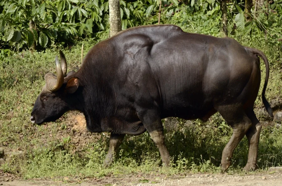
Gaur / Indian Bison
गौर (Gaur)
Bos gaurus
The largest extant bovine species in the world, roaming the sal forests of Valmiki National Park in the Himalayan foothills.

House Sparrow
गौरैया (Gauraiya)
Passer domesticus
Adopted to spread awareness about urban sparrow conservation, celebrated annually on World Sparrow Day across Bihar.
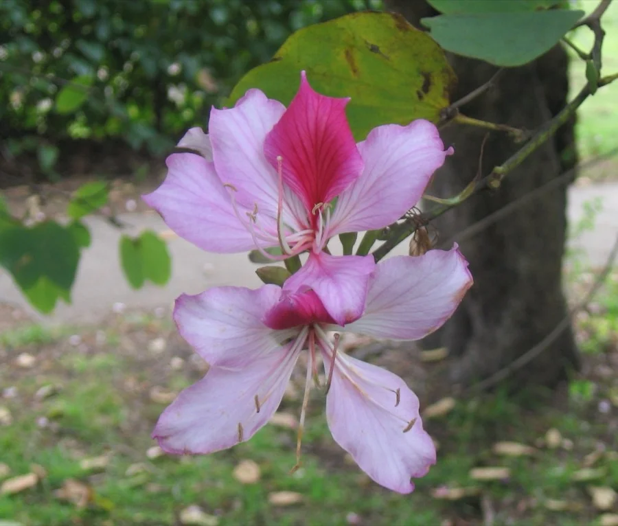
Kachnar / Orchid Tree
कचनार (Kachnar)
Bauhinia variegata
Features exquisite orchid-like pink and white flowers that bloom lavishly along the banks of the sacred River Ganga.
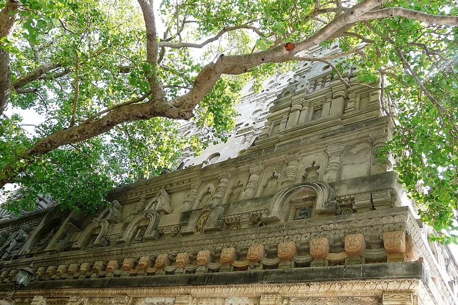
Peepal / Bodhi Tree
पीपल / बोधि वृक्ष (Bodhi Vriksha)
Ficus religiosa
Lord Gautama Buddha attained supreme enlightenment under the sacred Bodhi Tree at Bodh Gaya over 2,500 years ago.
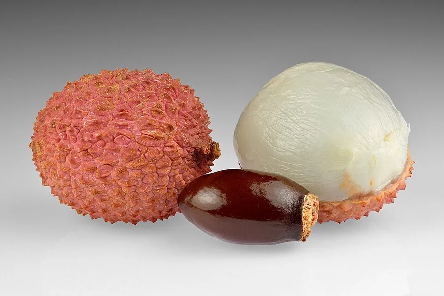
Shahi Litchi of Muzaffarpur
शाही लीची (Shahi Litchi)
Litchi chinensis
World-renowned GI-tagged litchi with an unmistakable rose scent and succulent sweet pulp cultivated in Muzaffarpur.
What's Inside Your 3-Page A4 PDF
Structured print-ready learning system designed for classroom study, practice recall, and self-correction.
Master Reference Map
Full geography outline with every district clearly labelled for visual exploration and classroom study.
Student Quiz Worksheet
Numbered test sheet paired with structured blank answer lines for timed recall, homework, and classroom quizzes.
Complete Answer Key
Alphabetical directory and scoring index for quick self-checking, peer review, and teacher grading.
How to Use This Map Pack in Class or at Home
Complete Answer Key & Index
Alphabetical list of all 38 districts corresponding to the Numbered Quiz Map.
Official & Regional Languages of Bihar
Recognized official, additional official, and prominent regional languages of Bihar. Click any language to explore its Wikipedia article.
Learn to Write in Hindi (हिन्दी)
Generate free custom name tracing sheets, foundational sight words, and alphabet practice in authentic Hindi script typography. Built-in school notebook rulings, soft single-shape watermark guides, and instant 300 DPI vector PDF export.
More Eastern India India Maps
Explore free printable district maps and practice tests for neighboring states.
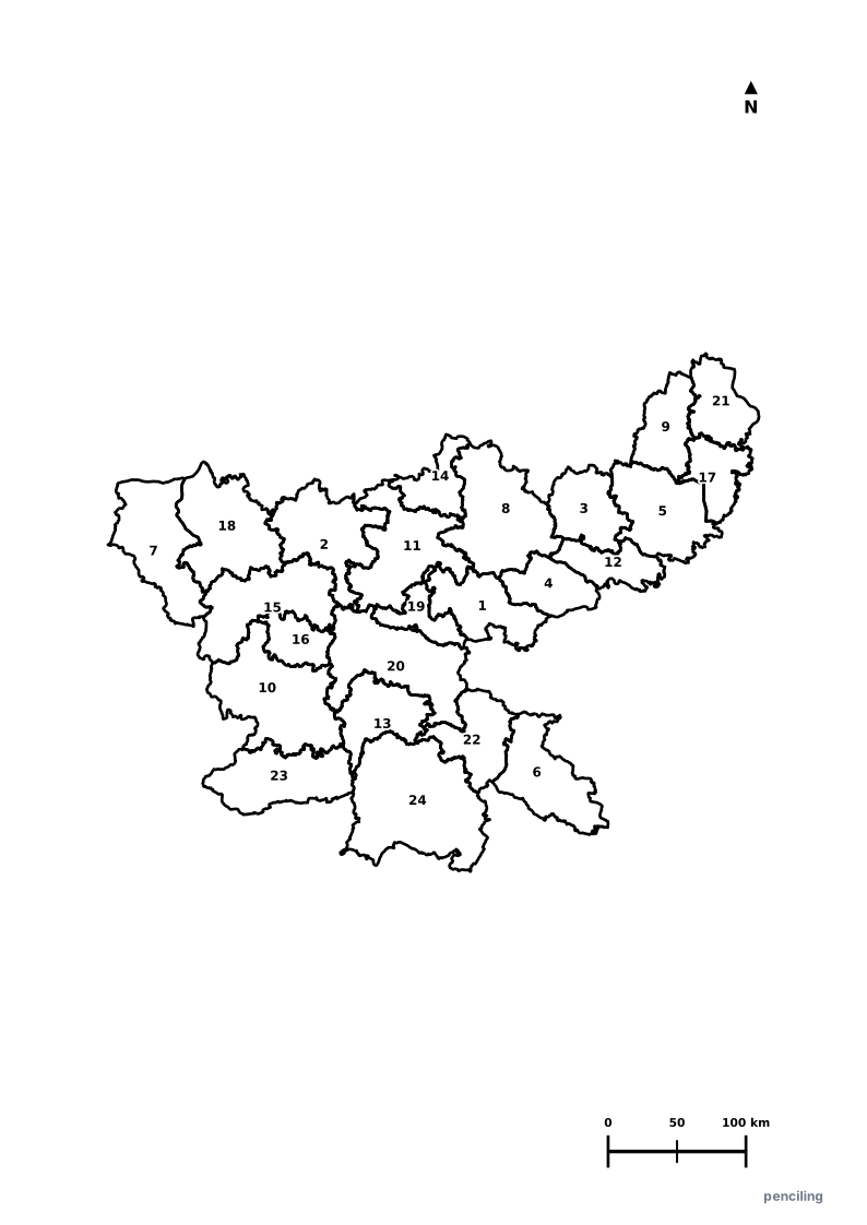
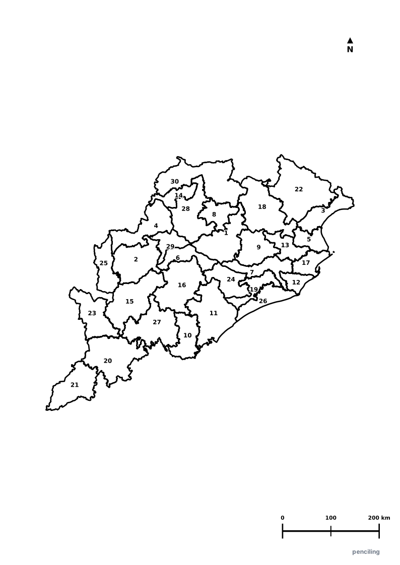
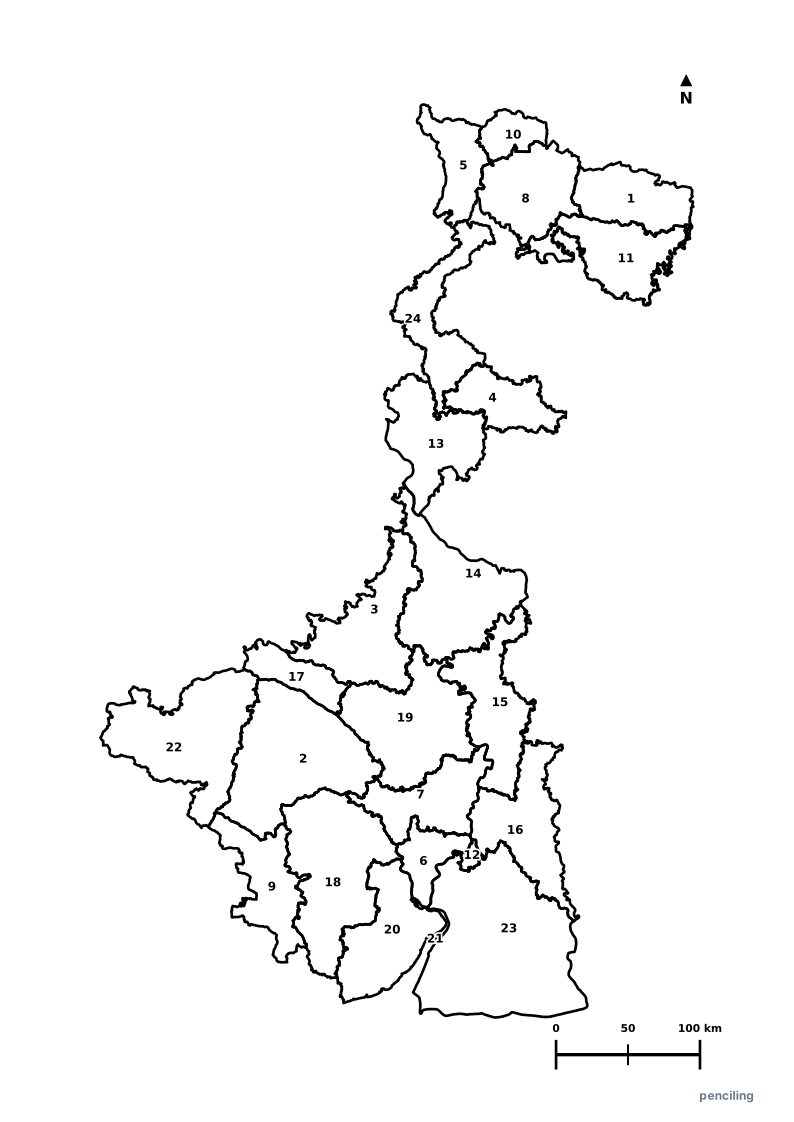
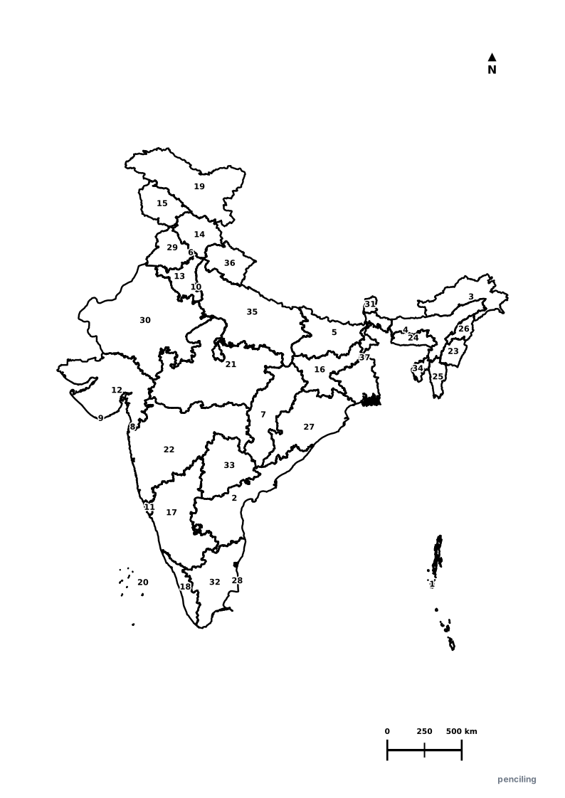
Explore All India Educational Maps
Official Cartographic & Boundary Standards
Verified .gov.inAdministrative boundary alignments and regional designations are aligned with official publications by theSurvey of India (National Mapping Agency)and theGovernment of Bihar (state.bihar.gov.in).