Meghalaya Printable Map Pack
Free printable map pack for Meghalaya. Includes boundary outlines, blank practice maps, quiz sheet, and answer key.
3-Page A4 Worksheet Pack
Includes Reference Map, Student Quiz Map, and Complete Answer Key in a single print-friendly PDF.
Download 3-Page Worksheet Pack🧭 Explore in Interactive AtlasMeghalaya District Map
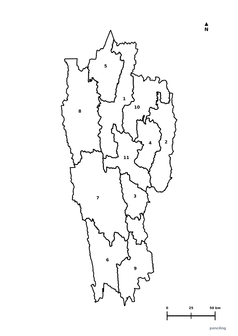
Interactive preview for all 12 districts.
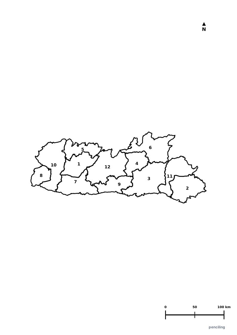
Meghalaya Practice Test
Students identify each numbered district and write the name in the test blank.
The Abode of Clouds: Holds the global record for the wettest places on Earth (Mawsynram and Cherrapunji) receiving over 11,000 mm of annual rainfall.
Living Root Bridges: The indigenous Khasi and Jaintia tribes train the aerial roots of rubber fig trees across streams to grow into living bridges lasting centuries.
Matrilineal Family Heritage: Khasi, Garo, and Jaintia communities practice matrilineal descent, where family lineage and ancestral property pass to the youngest daughter.
Asia’s Cleanest Village: Mawlynnong village in the East Khasi Hills was awarded the title of Cleanest Village in Asia for its community-led cleanliness.
Glass-Clear Umngot River: The river at Dawki is so crystalline that wooden fishing boats appear to float suspended in mid-air above the pebbles.
Official State Symbols of Meghalaya
Official flora, fauna, and natural emblems designated to celebrate Meghalaya’s rich ecological and cultural heritage.
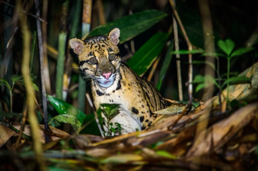
Clouded Leopard
Clouded Leopard
Neofelis nebulosa
With large cloud-like rosettes and rotating rear ankles, this arboreal predator can climb down tree trunks headfirst.
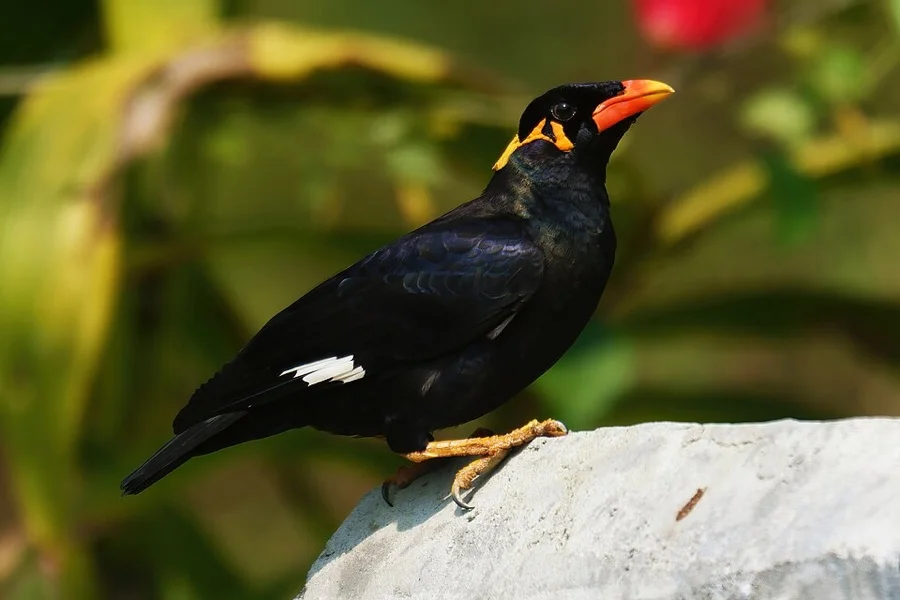
Hill Myna
Hill Myna
Gracula religiosa
Flourishes in the pristine sacred groves ('Mawphlang') of Meghalaya, known for its loud whistling calls.
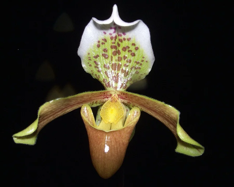
Lady's Slipper Orchid
Tiew Knup Mawiang
Paphiopedilum insigne
An exotic orchid with a pouch-like lower petal that mimics a dainty slipper, growing on moist limestone cliffs.
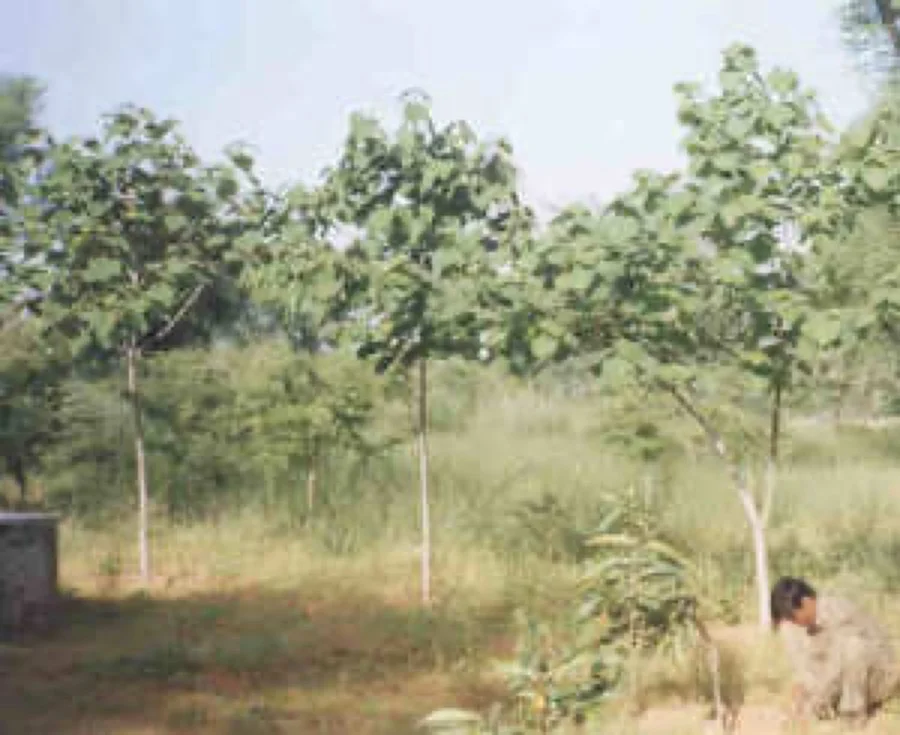
White Teak / Gamhar
Dieng-lopan
Gmelina arborea
A fast-growing deciduous forest tree that produces trumpet-shaped golden-yellow flowers and valuable timber.
What's Inside Your 3-Page A4 PDF
Structured print-ready learning system designed for classroom study, practice recall, and self-correction.
Master Reference Map
Full geography outline with every district clearly labelled for visual exploration and classroom study.
Student Quiz Worksheet
Numbered test sheet paired with structured blank answer lines for timed recall, homework, and classroom quizzes.
Complete Answer Key
Alphabetical directory and scoring index for quick self-checking, peer review, and teacher grading.
How to Use This Map Pack in Class or at Home
Complete Answer Key & Index
Alphabetical list of all 12 districts corresponding to the Numbered Quiz Map.
Official & Regional Languages of Meghalaya
Recognized official, additional official, and prominent regional languages of Meghalaya. Click any language to explore its Wikipedia article.
Learn to Write in English (English)
Generate free custom name tracing sheets, foundational sight words, and alphabet practice in authentic English script typography. Built-in school notebook rulings, soft single-shape watermark guides, and instant 300 DPI vector PDF export.
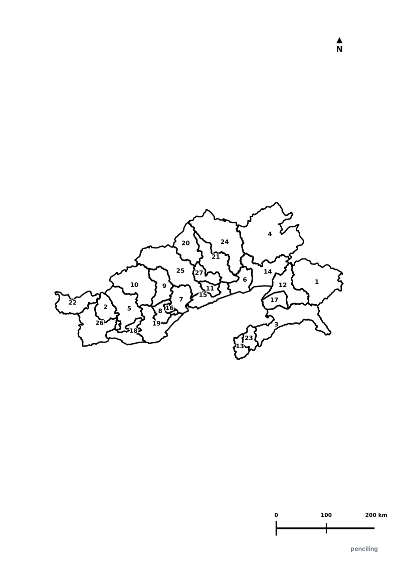
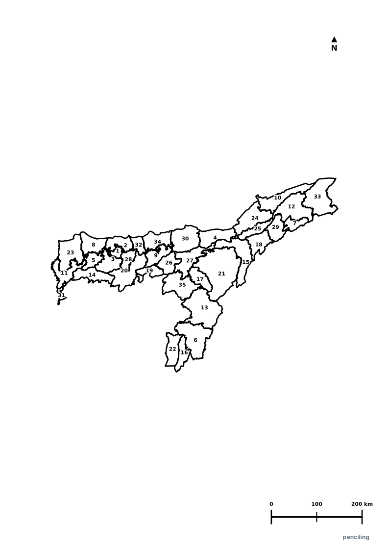
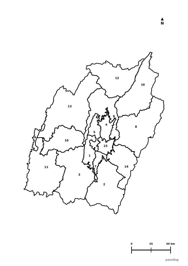
More Northeastern India India Maps
Explore free printable district maps and practice tests for neighboring states.
Explore All India Educational Maps
Official Cartographic & Boundary Standards
Verified .gov.inAdministrative boundary alignments and regional designations are aligned with official publications by theSurvey of India (National Mapping Agency)and theGovernment of Meghalaya (meghalaya.gov.in).