Printable Geography Curriculum
Printable India & State Maps
Explore · Practice · Master
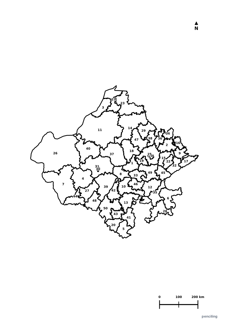
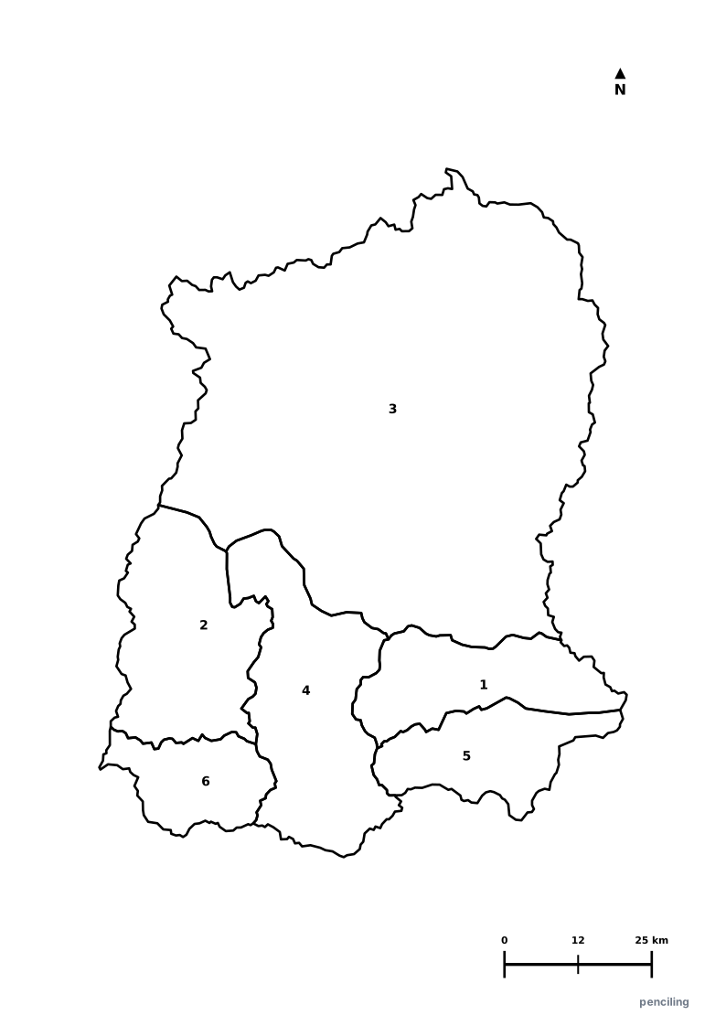
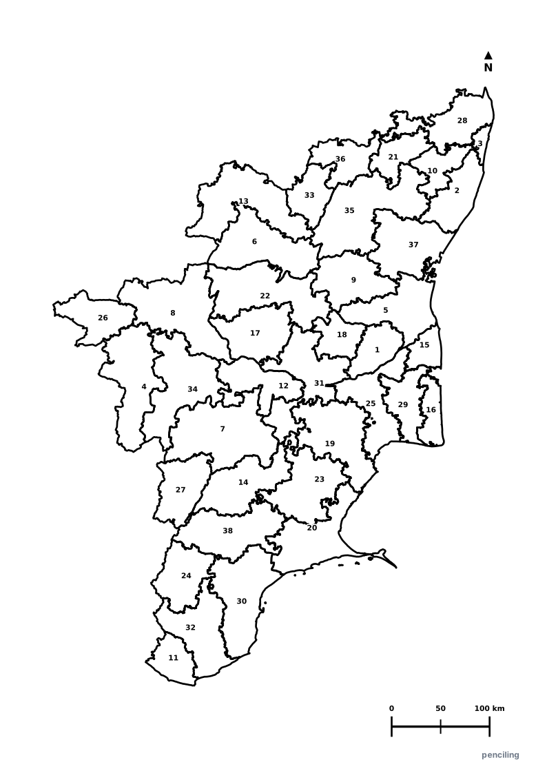
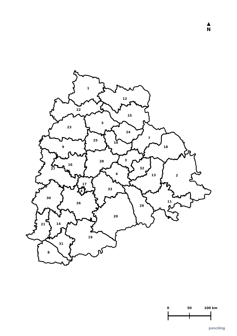
Comprehensive educational map library covering the National India Map, 36 States & Union Territories, and Physical Geography suites (Major Rivers & Mountain Ranges). Each suite includes high-resolution vector quiz maps and 3-page printable A4 PDF worksheet packs with complete answer keys.
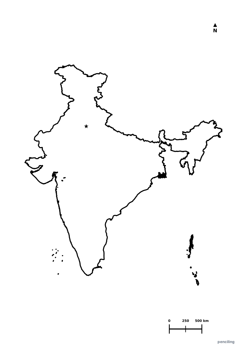
Outline
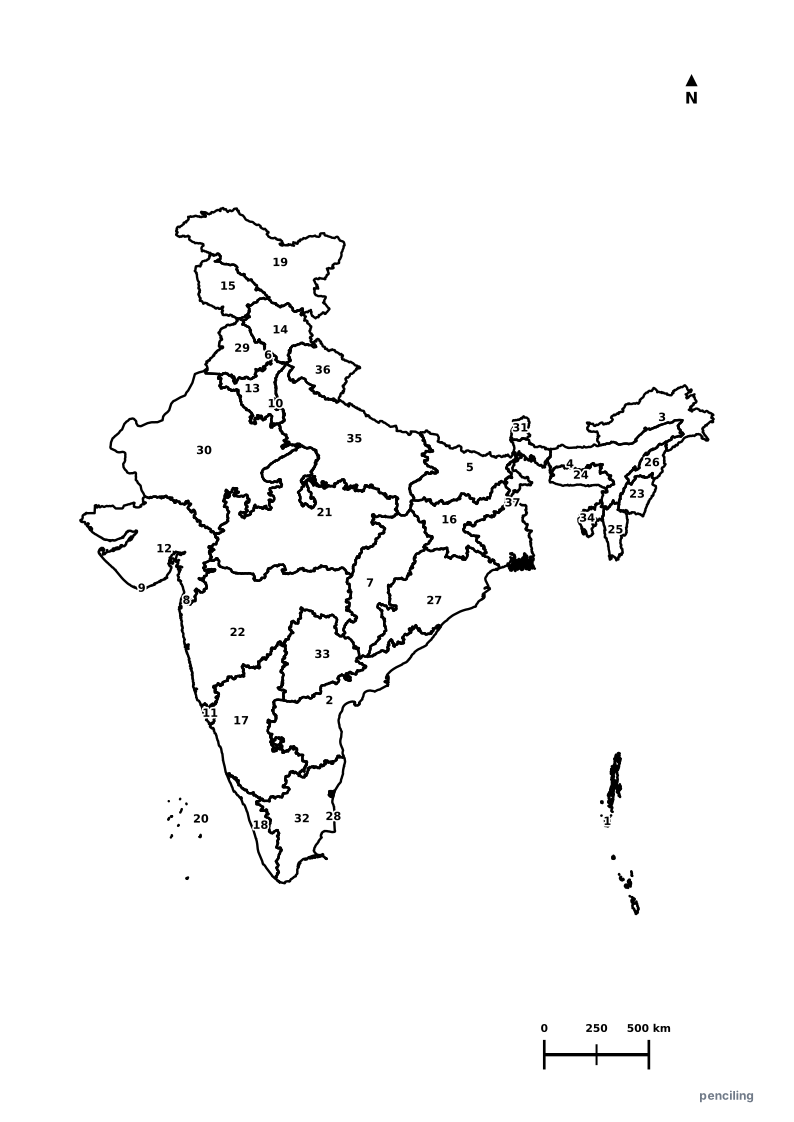
Numbered
Answers
3-in-1 Structure for Every Map
Outline · Numbered Practice · Answer Key
Interactive India Atlas • भारत दर्शन
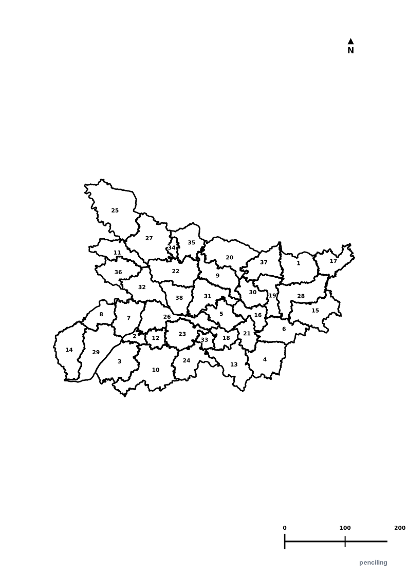
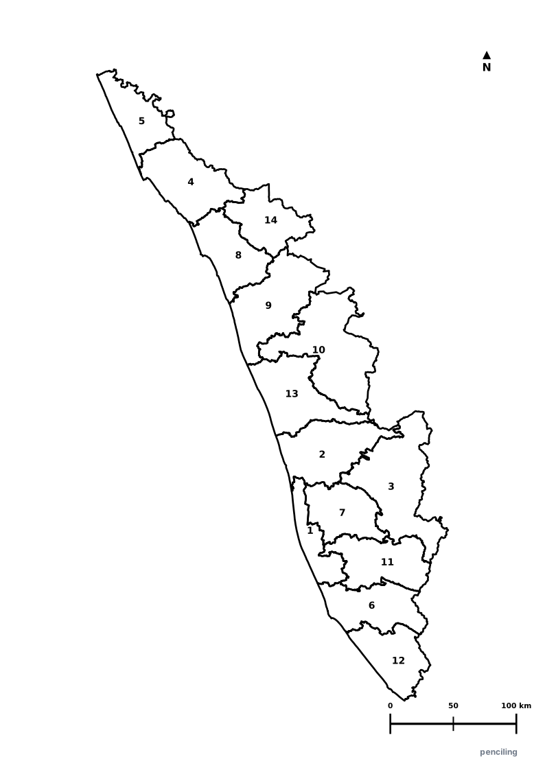
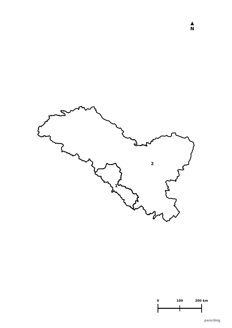
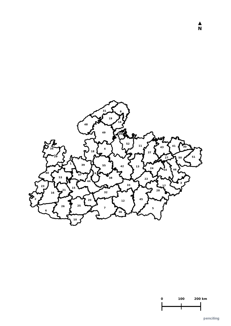
New Web AppExplore India's 28 States & 8 Union Territories with interactive vector maps, official state seals & heraldry, verified flora & fauna symbols, and the 1947–2026 historical boundary time machine.
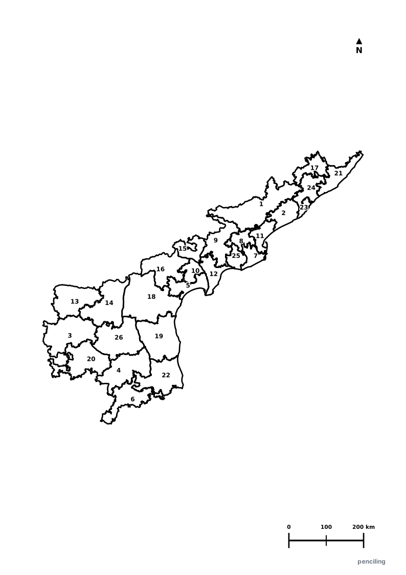
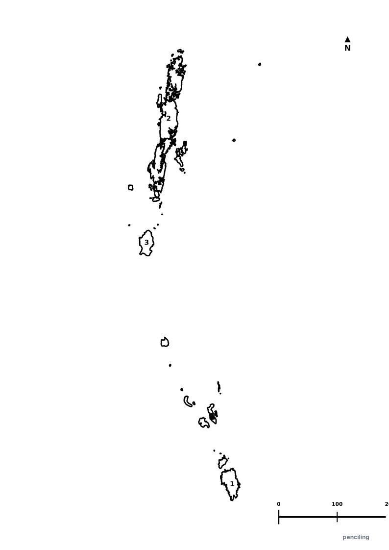
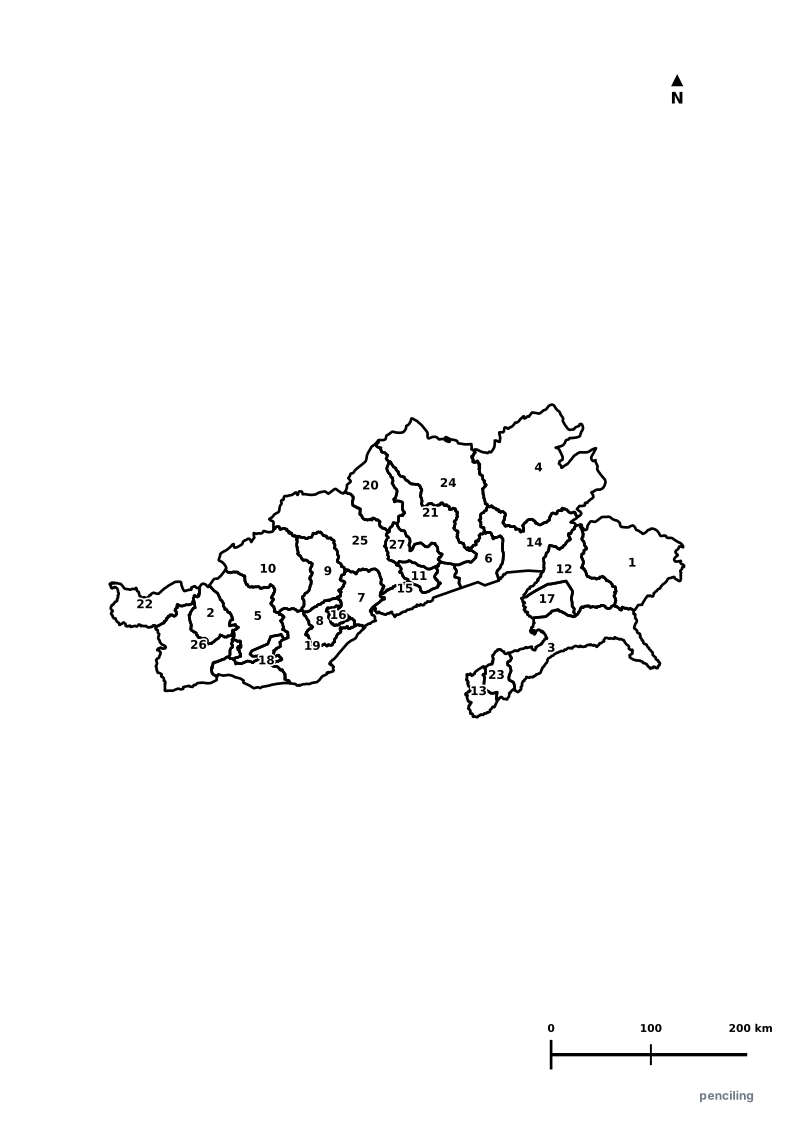
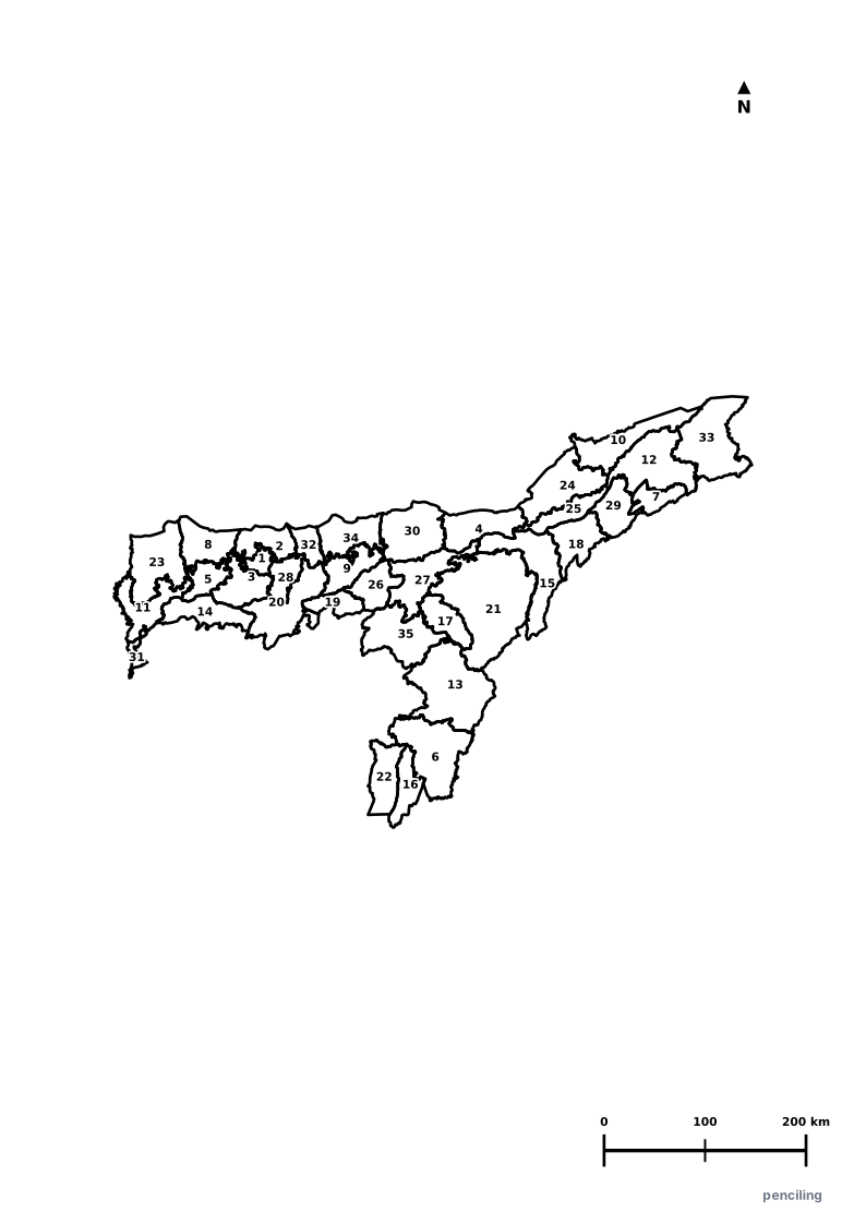
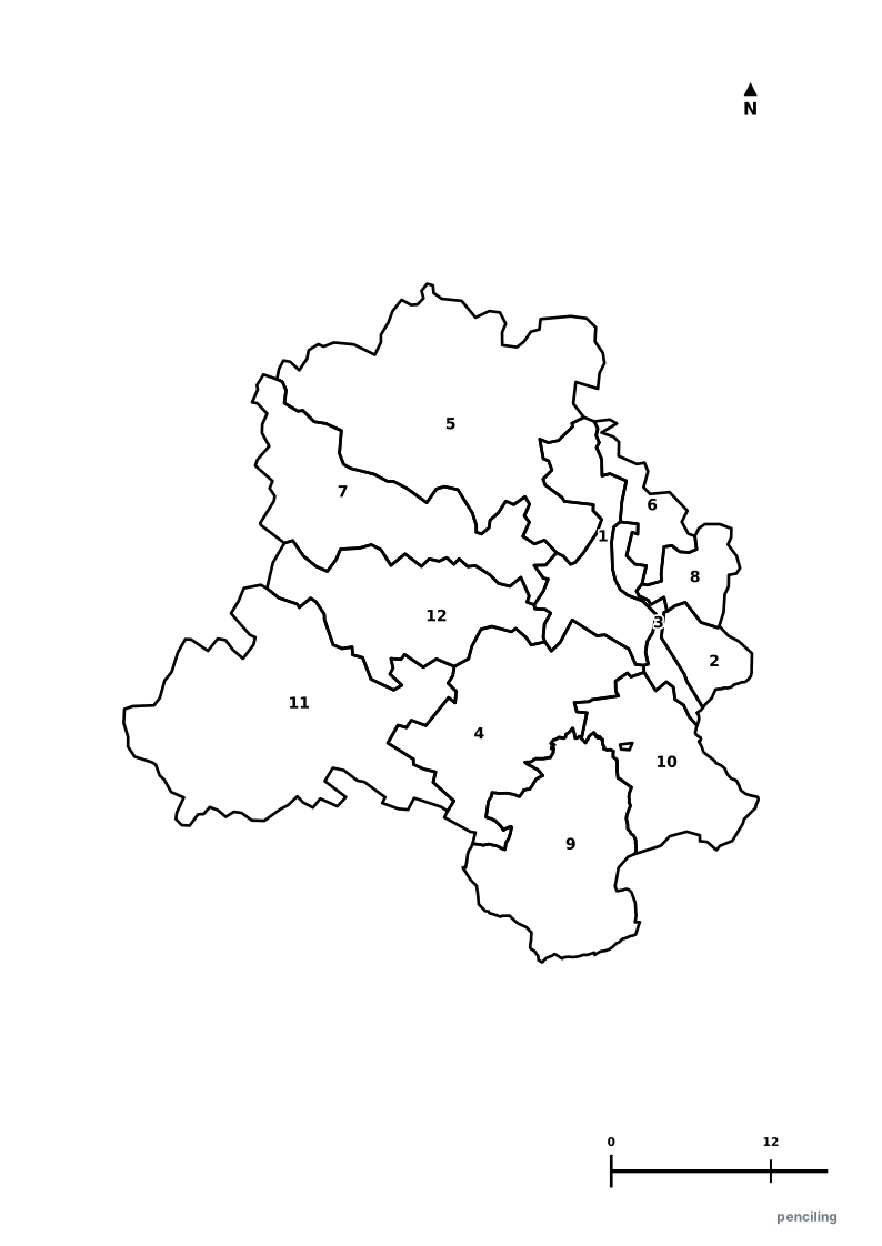
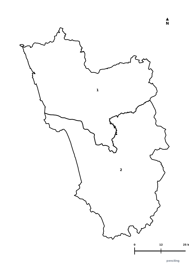
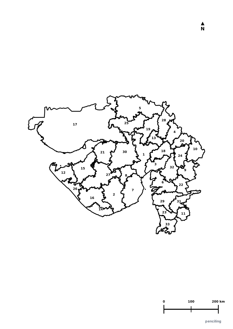
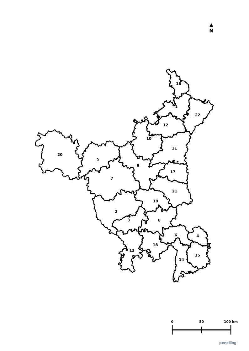
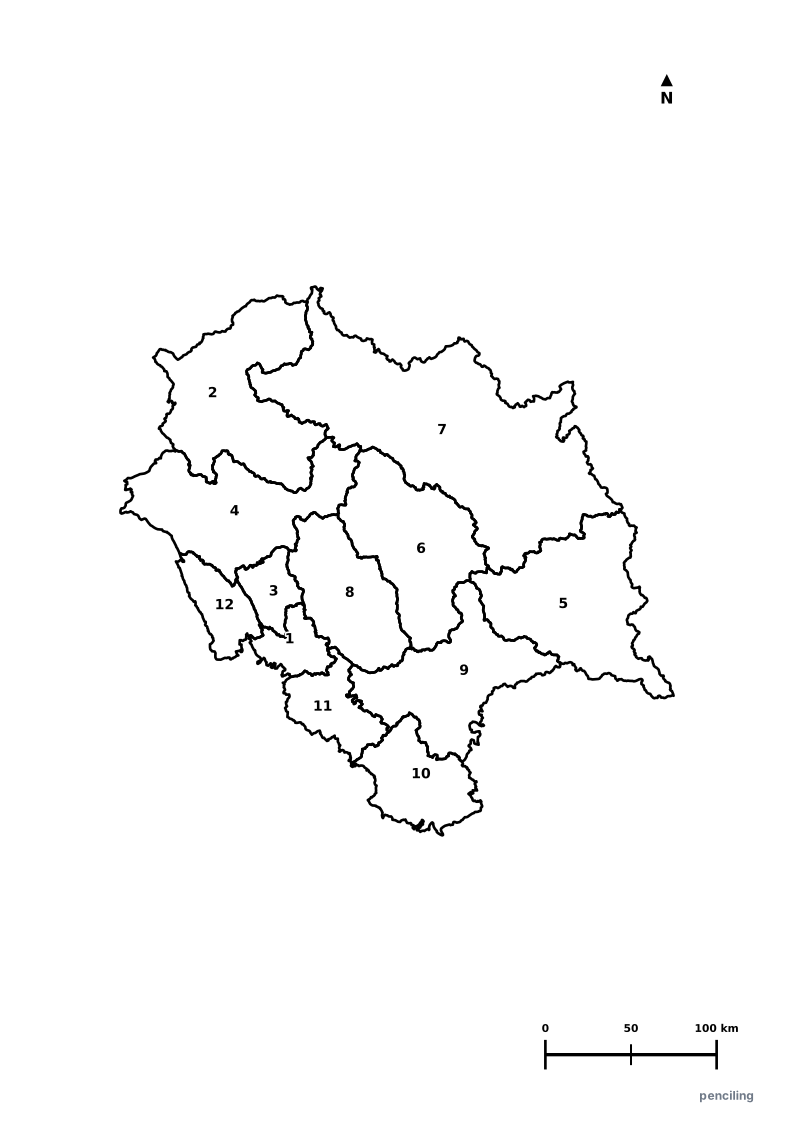
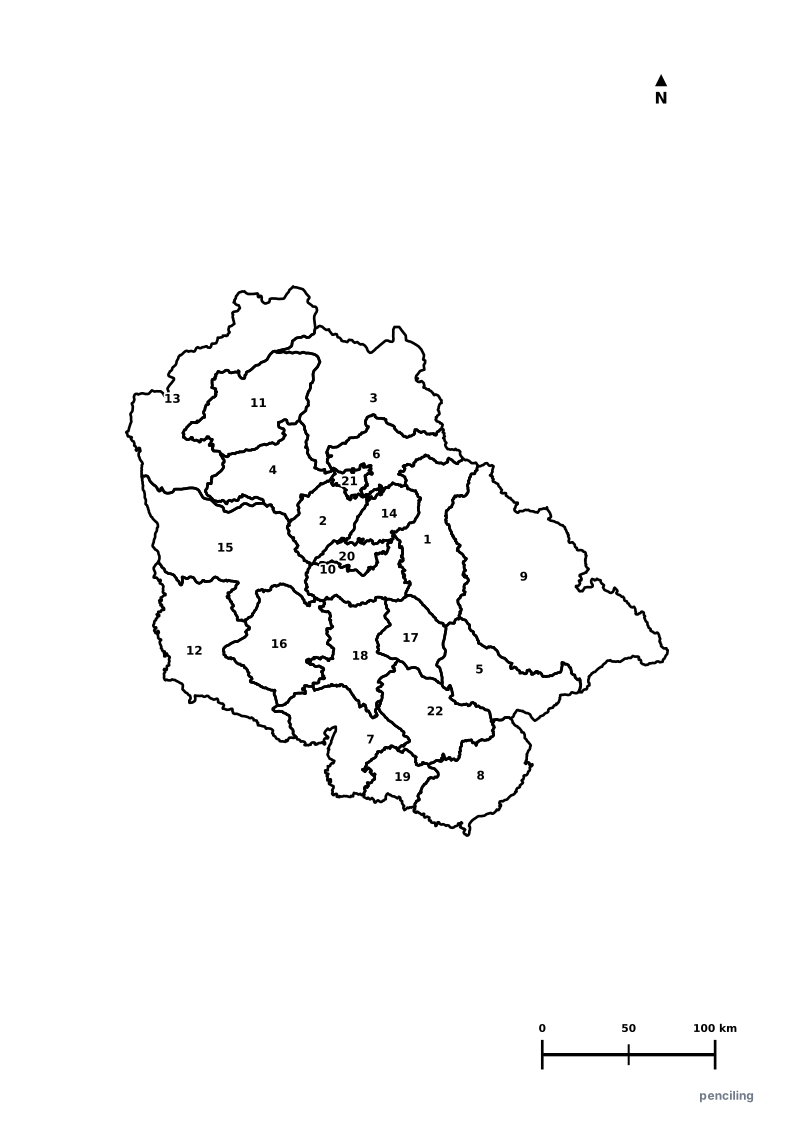
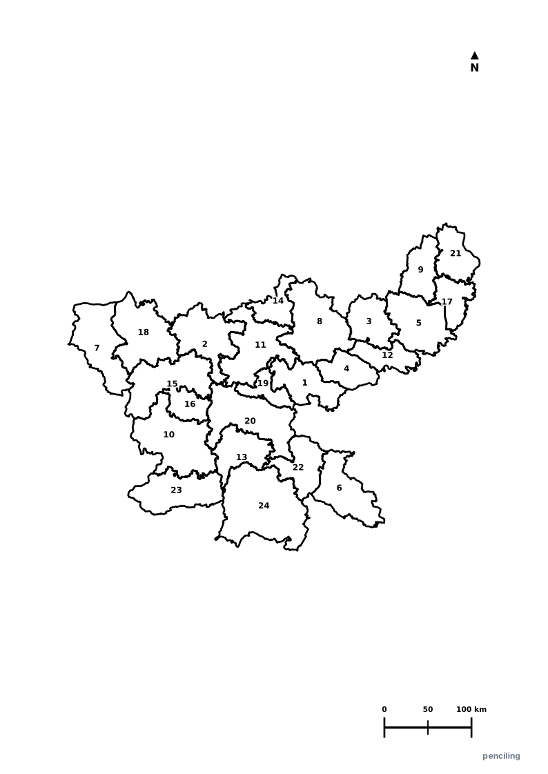
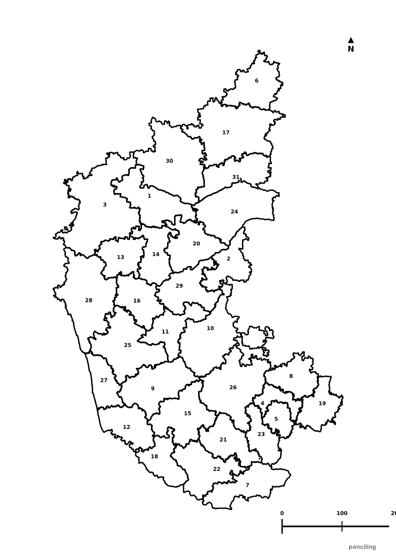
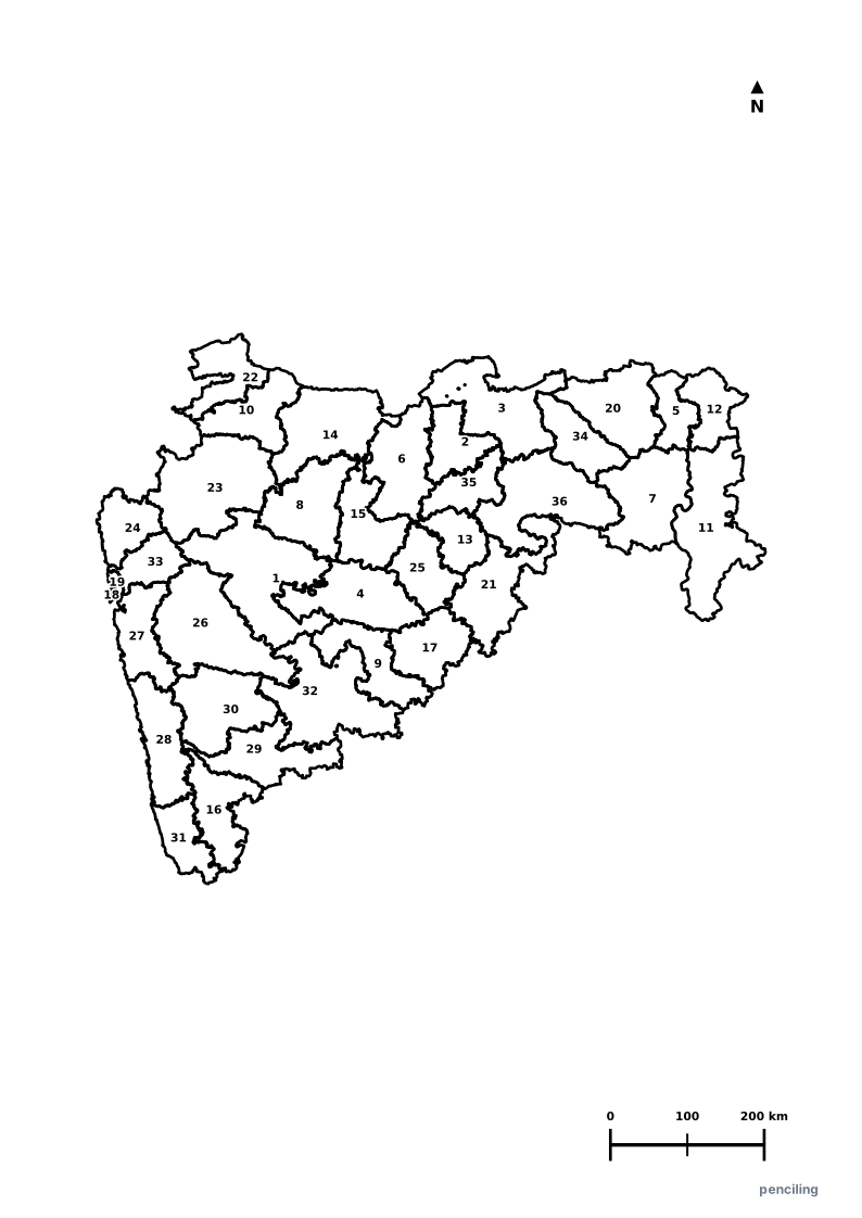
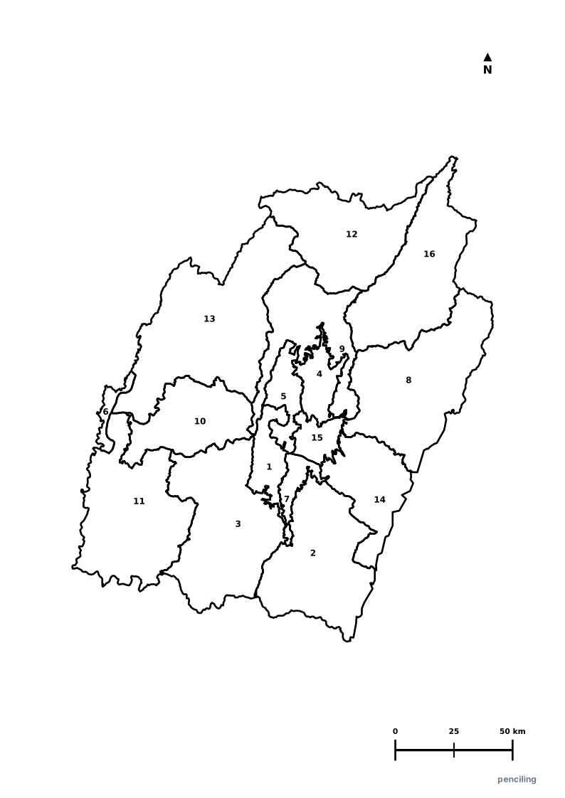
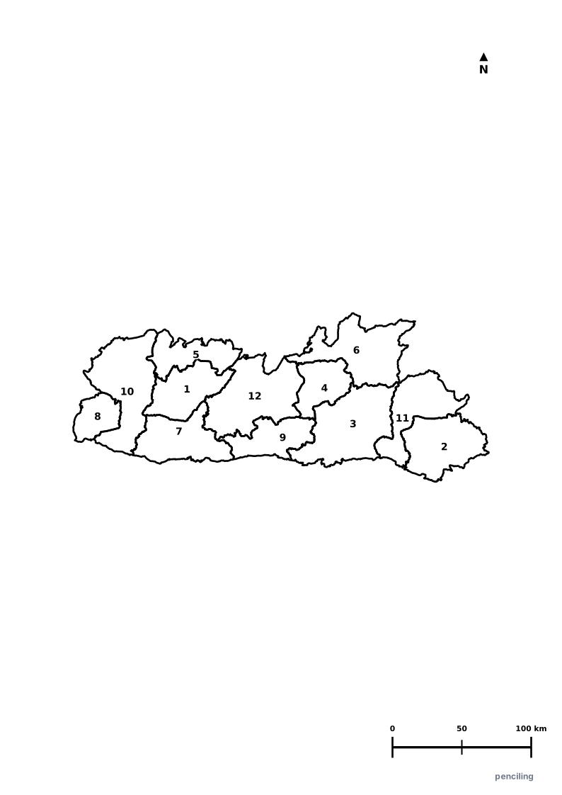
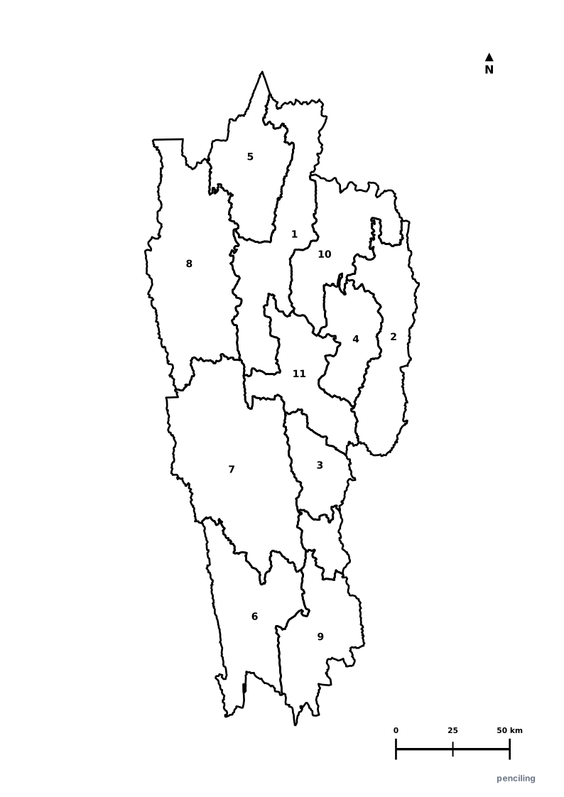
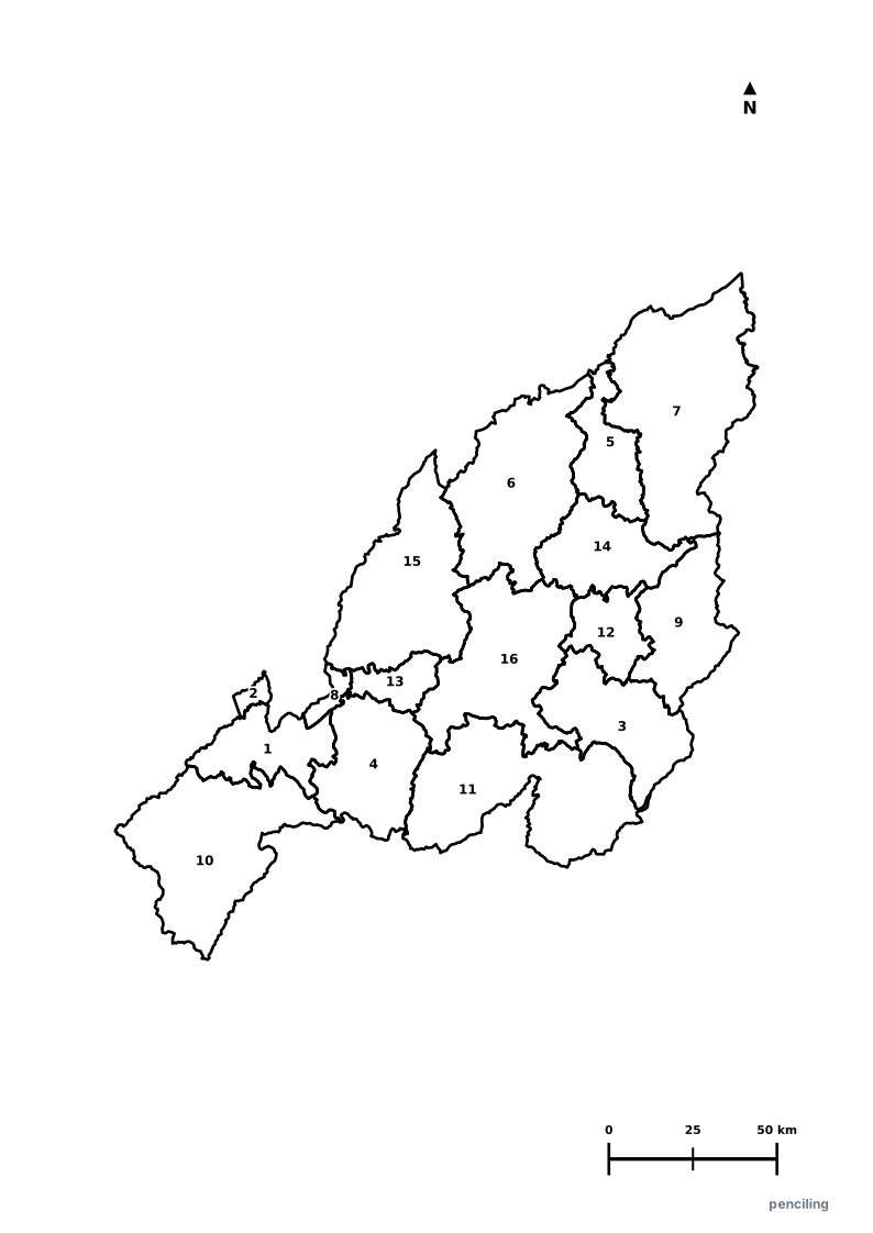
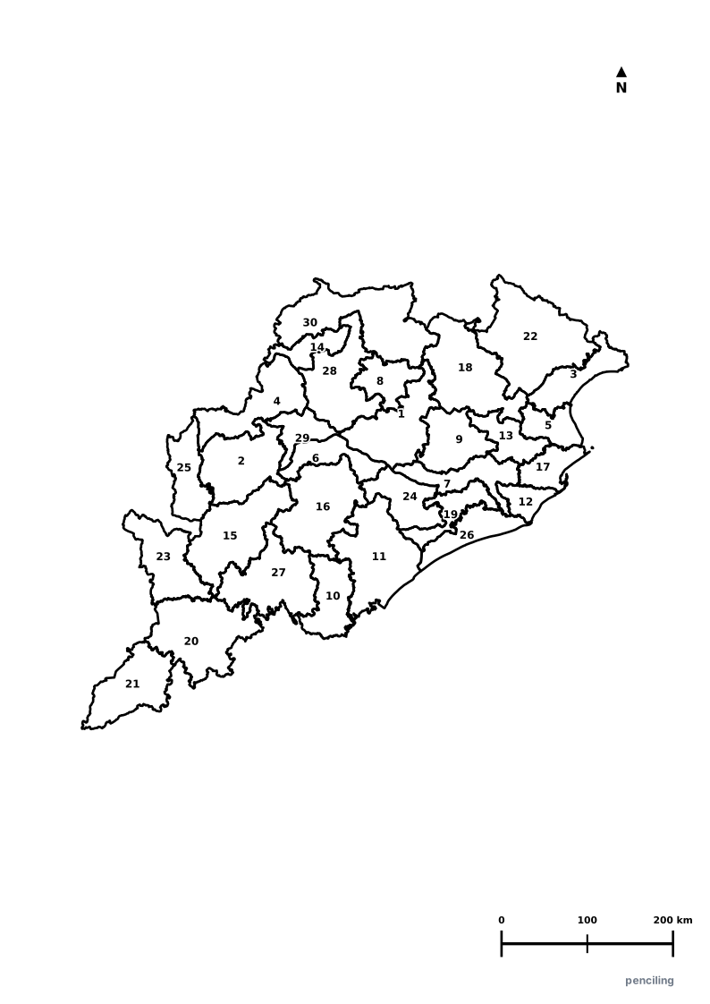
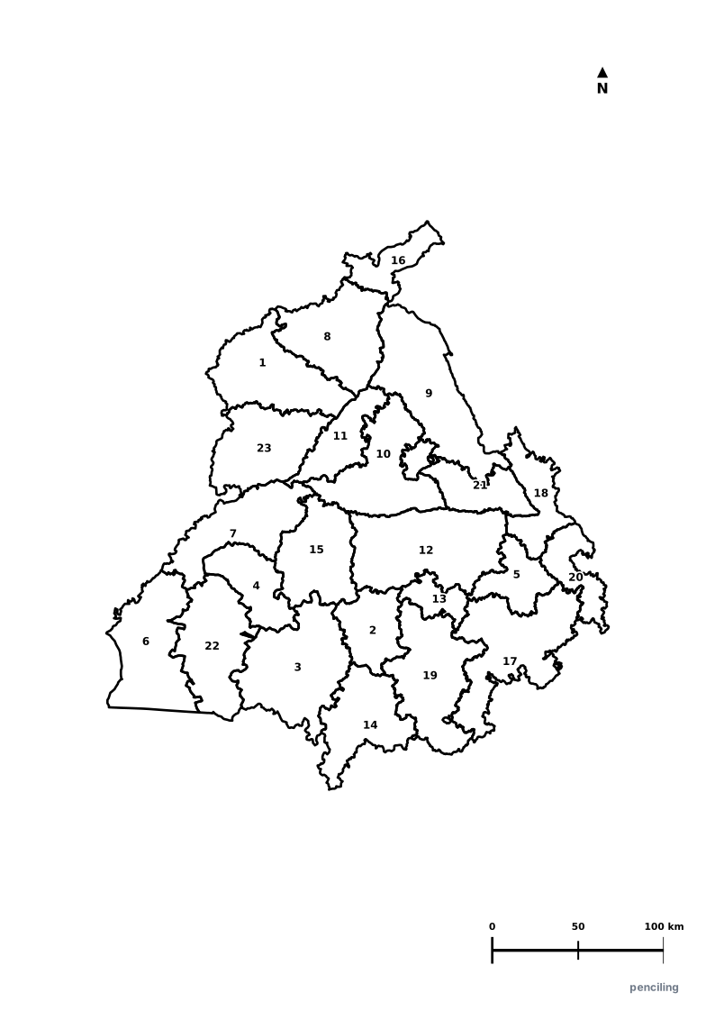
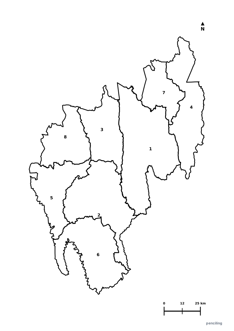
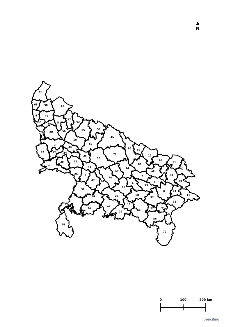
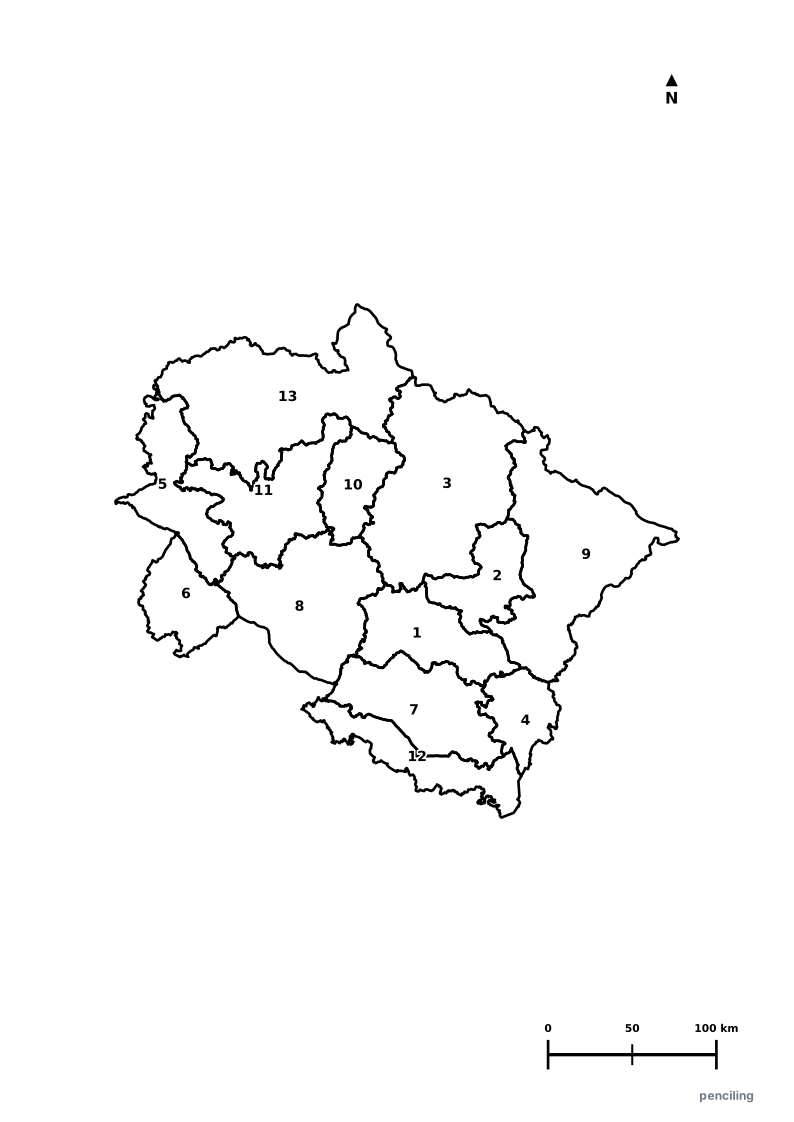
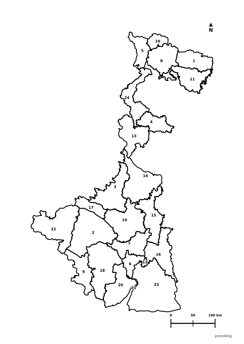
No maps match your search
Try searching for a different state name, river system, mountain range, or capital.
Practice Mother Tongue Handwriting Across Indian States
Every state in India has its own unique linguistic heritage. Pair your geography exploration with our free handwriting and custom name tracing generator—supporting English, Hindi, Telugu, Tamil, Kannada, Marathi, Bengali, Gujarati, Punjabi, Odia, Malayalam, and more with authentic school rulings and soft single-shape guides.
High-Resolution Vector Maps for Every State & Territory
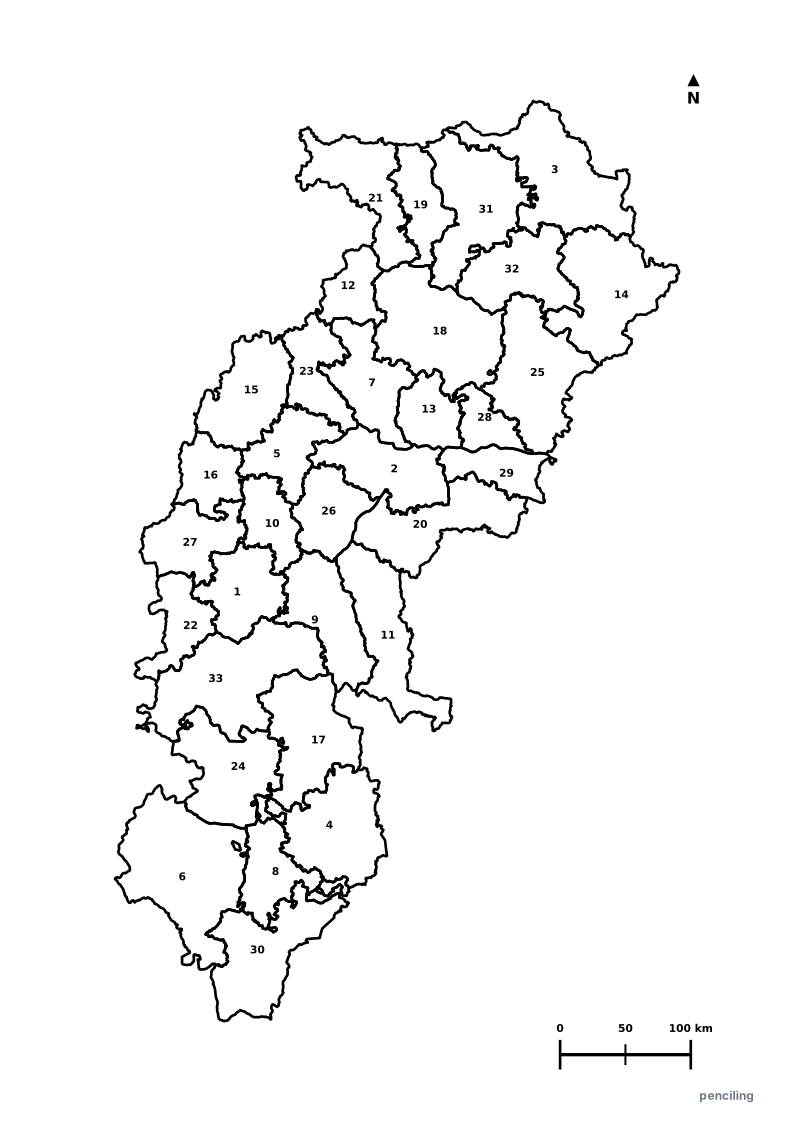
Every map suite is meticulously crafted with precise administrative boundaries, standard North arrows, metric scale bars, capital star markers, and printable 3-page A4 worksheet packs designed specifically for primary and middle school geography.
Clean SVG vectors rendered from official GIS data, scalable to any display or print size.
Includes student lines for Name, Date, Score, plus complete reference outlines & answer keys.
No email or login required. Download and print instantly for home practice or school tests.
Frequently Asked Questions about India Maps & Atlas
What maps are included in the Penciling.in Educational Map Suite?↓
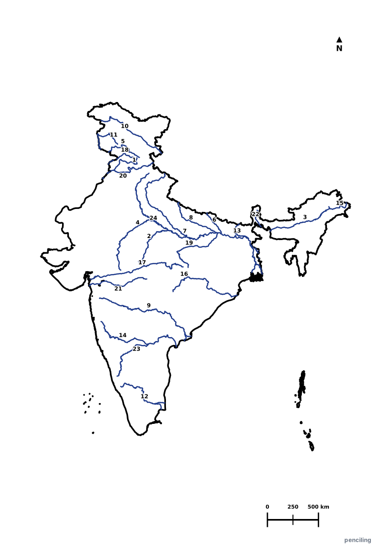
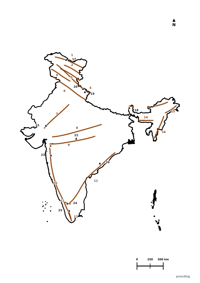
Our map suite includes complete educational map packages for India (National), all 28 Indian States, 8 Union Territories, and Physical Geography (Major Rivers, Mountain Ranges & Peaks). Every package provides scalable vector SVGs and a print-ready 3-page A4 PDF worksheet pack with boundary outlines, blank practice sheets, numbered quiz maps, and full answer keys.
What is the 3-page worksheet structure of each map PDF?↓
Each 3-page A4 PDF includes: Page 1 — Boundary Outline Reference Map with capital star, North arrow, and metric scale bar; Page 2 — Numbered Quiz Map for student testing and labeling practice; Page 3 — Structured Alphabetical Answer Key for self-grading and quick reference.
Are these educational maps free to download and print for school?↓
Yes, 100% free with zero paywalls, zero registrations, and zero advertising clutter. Teachers, parents, and students can download high-resolution 300 DPI vector PDFs and SVGs for classroom instruction, homework, and geography competition prep.
Are the map boundaries aligned with official Indian cartographic standards?↓
Yes, administrative boundary alignments, state capitals, and district subdivisions are benchmarked against official publications from the Survey of India (National Mapping Agency) and official state government administration portals (.gov.in).