Telangana Printable Map Pack
Free printable map pack for Telangana. Includes boundary outlines, blank practice maps, quiz sheet, and answer key.
3-Page A4 Worksheet Pack
Includes Reference Map, Student Quiz Map, and Complete Answer Key in a single print-friendly PDF.
Download 3-Page Worksheet Pack🧭 Explore in Interactive AtlasTelangana District Map
Interactive preview for all 33 districts.
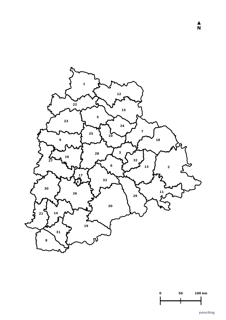
Telangana Practice Test
Students identify each numbered district and write the name in the test blank.
The Land of Pearls & Nizams: Capital Hyderabad was historically the world’s primary trading center for natural pearls and Golconda diamonds.
UNESCO Ramappa Temple: Built in 1213 CE during the Kakatiya era, constructed using unique lightweight floating bricks that stay afloat in water.
World’s Largest Film Studio Complex: Ramoji Film City spans over 1,666 acres in Hyderabad and holds the Guinness World Record as the largest film studio complex on Earth.
Vibrant Batukamma Floral Festival: A colorful 9-day autumn festival where women create giant conical floral stacks using seasonal medicinal wild flowers.
Youngest State of India: Formed on 2 June 2014, becoming the 29th state of the Indian Union following a historic statehood movement.
Official State Symbols of Telangana
Official flora, fauna, and natural emblems designated to celebrate Telangana’s rich ecological and cultural heritage.
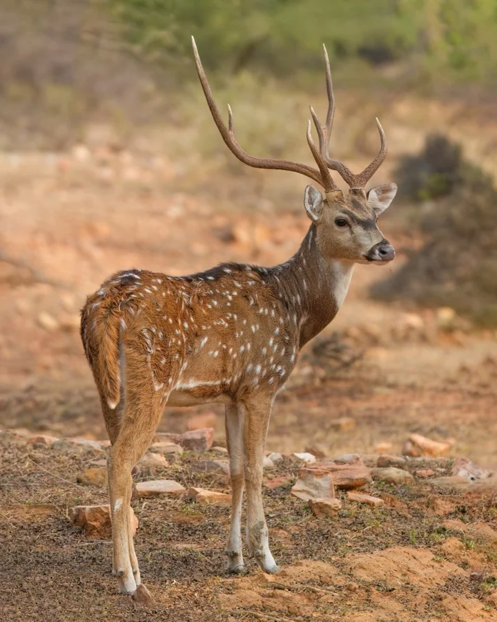
Spotted Deer / Chital
జింక (Jinka)
Axis axis
Emblematic of innocent grace in the Ramayana, roaming protected in Telangana's Amrabad and Kawal tiger reserve grasslands.
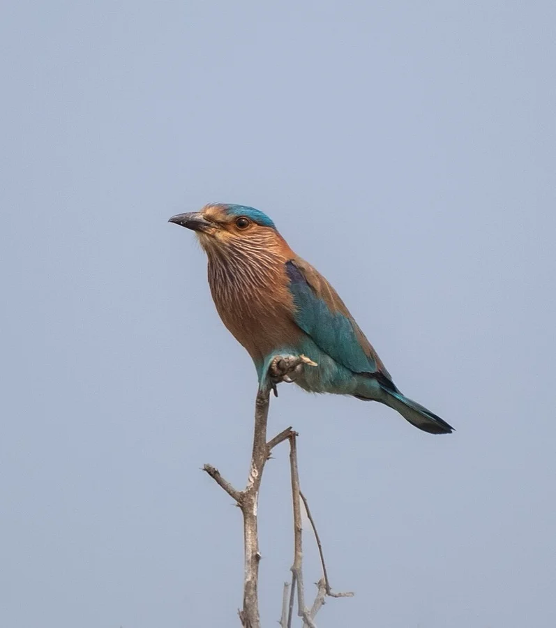
Indian Roller
పాలపిట్ట (Pala Pitta)
Coracias benghalensis
Spotting a Pala Pitta on the evening of Vijaya Dashami (Dussehra) is believed in Telangana folklore to bring immense prosperity and success.
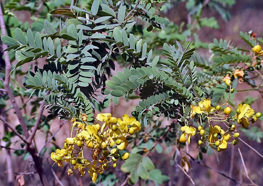
Tangedu Flower
తంగేడు పువ్వు (Tangedu Puvvu)
Senna auriculata
Vibrant yellow Tangedu blossoms are stacked in concentric rings during Telangana's world-famous floral festival, Bathukamma.
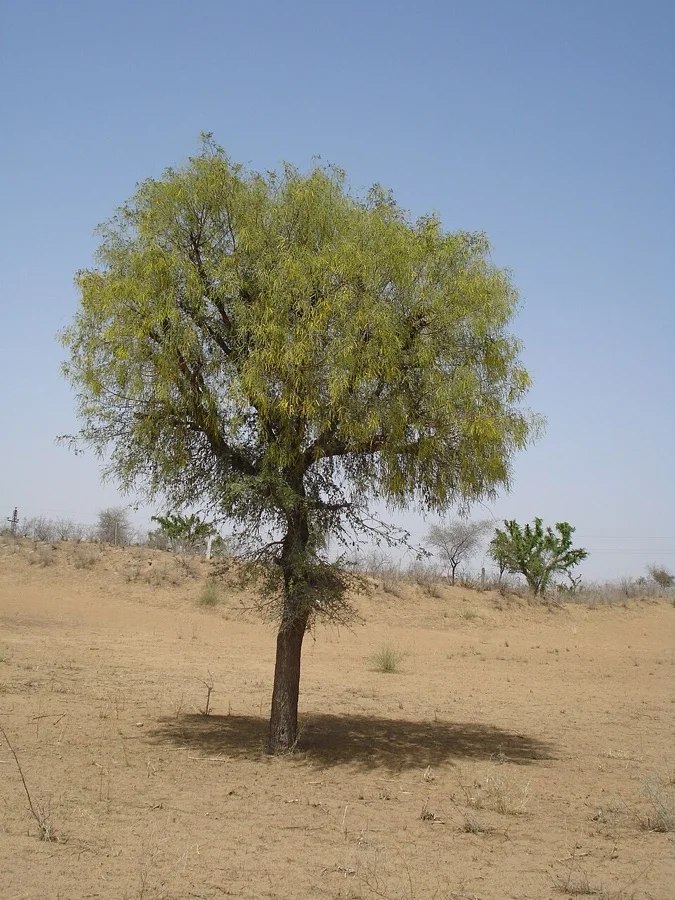
Jammi Chettu / Shami
జమ్మి చెట్టు (Jammi Chettu)
Prosopis cineraria
Associated with the Pandavas' concealed weapons in the Mahabharata; people exchange Jammi leaves as 'gold' on Dussehra.
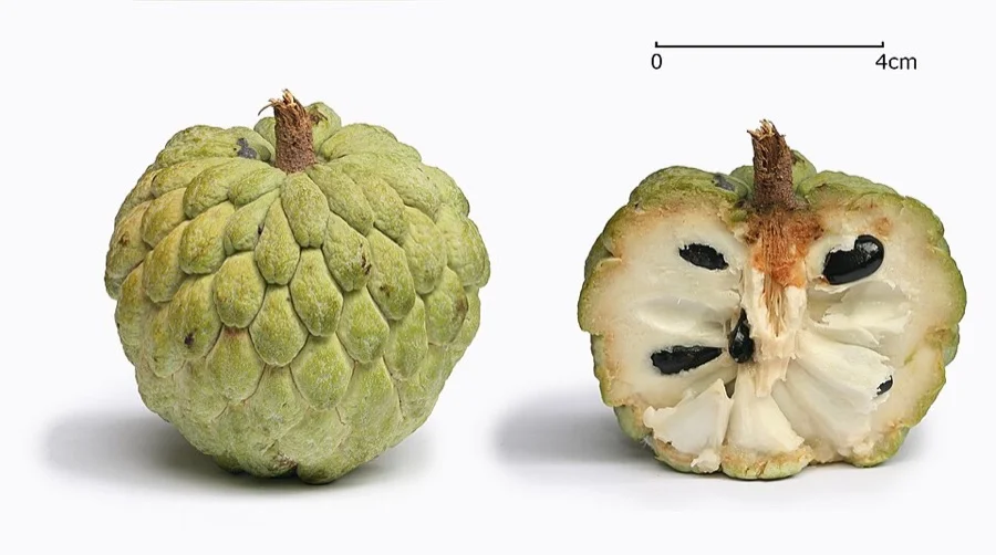
Custard Apple / Sitaphal
సీతాఫలం (Seetha Phalam)
Annona squamosa
Famed for its creamy, fragrant sweet pulp, harvested extensively from wild forest groves across Mahabubnagar and Rangareddy.
What's Inside Your 3-Page A4 PDF
Structured print-ready learning system designed for classroom study, practice recall, and self-correction.
Master Reference Map
Full geography outline with every district clearly labelled for visual exploration and classroom study.
Student Quiz Worksheet
Numbered test sheet paired with structured blank answer lines for timed recall, homework, and classroom quizzes.
Complete Answer Key
Alphabetical directory and scoring index for quick self-checking, peer review, and teacher grading.
How to Use This Map Pack in Class or at Home
Complete Answer Key & Index
Alphabetical list of all 33 districts corresponding to the Numbered Quiz Map.
Official & Regional Languages of Telangana
Recognized official, additional official, and prominent regional languages of Telangana. Click any language to explore its Wikipedia article.
Learn to Write in Telugu (తెలుగు)
Generate free custom name tracing sheets, foundational sight words, and alphabet practice in authentic Telugu script typography. Built-in school notebook rulings, soft single-shape watermark guides, and instant 300 DPI vector PDF export.
More Southern India India Maps
Explore free printable district maps and practice tests for neighboring states.
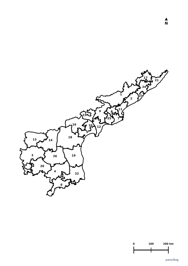
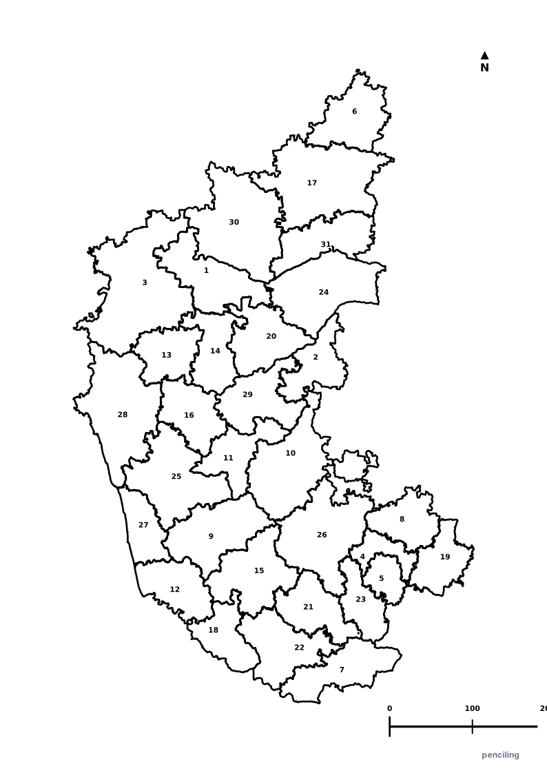
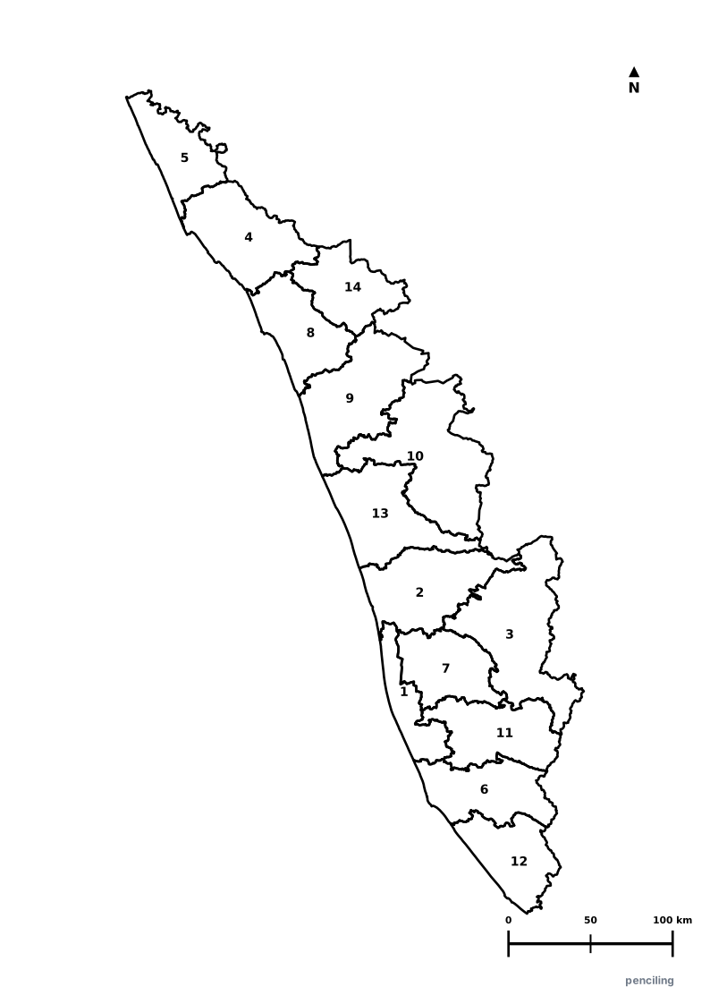
Explore All India Educational Maps
Official Cartographic & Boundary Standards
Verified .gov.inAdministrative boundary alignments and regional designations are aligned with official publications by theSurvey of India (National Mapping Agency)and theGovernment of Telangana (telangana.gov.in).