Rajasthan Printable Map Pack
Free printable map pack for Rajasthan. Includes boundary outlines, blank practice maps, quiz sheet, and answer key.
3-Page A4 Worksheet Pack
Includes Reference Map, Student Quiz Map, and Complete Answer Key in a single print-friendly PDF.
Download 3-Page Worksheet Pack🧭 Explore in Interactive AtlasRajasthan District Map
Interactive preview for all 50 districts.
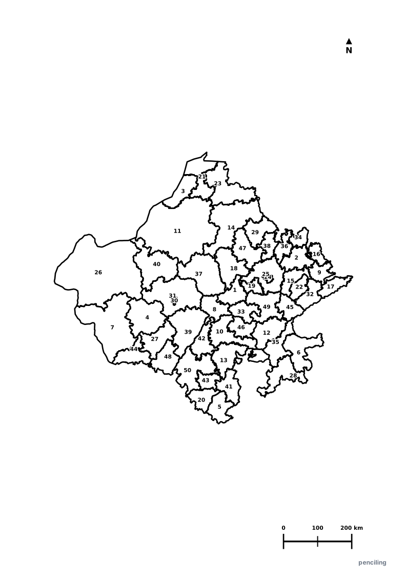
Rajasthan Practice Test
Students identify each numbered district and write the name in the test blank.
Largest State in India by Area: Covering 342,239 km² (over 10.4% of India’s total landmass), Rajasthan is larger in area than Germany or the United Kingdom.
The Great Thar Desert: Home to 60% of the Thar Desert, the world’s most densely populated arid desert ecosystem.
The Colorful Heritage Cities: Famous for color-themed historic cities: Jaipur (Pink City), Jodhpur (Blue City), Udaipur (White City), and Jaisalmer (Golden City).
Kumbhalgarh’s Great Wall: The fortress wall of Kumbhalgarh spans 36 km in length, recognized as the second-longest continuous wall in the world after the Great Wall of China.
Asia’s Largest Camel Fair: The annual Pushkar Camel Fair attracts thousands of pastoralists trading decorated camels alongside colorful desert festivities.
Official State Symbols of Rajasthan
Official flora, fauna, and natural emblems designated to celebrate Rajasthan’s rich ecological and cultural heritage.
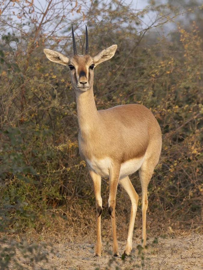
Chinkara / Indian Gazelle
चिंकारा (Chinkara)
Gazella bennettii
A graceful desert gazelle capable of surviving with minimal water, religiously safeguarded by Rajasthan's Bishnoi communities.
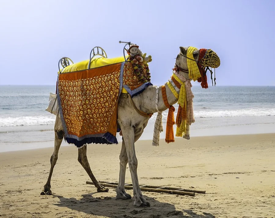
Dromedary Camel
ऊंट (Oont)
Camelus dromedarius
Known as the 'Ship of the Desert', indispensable for desert transport, rural caravans, and celebrated at the historic Pushkar Camel Fair.
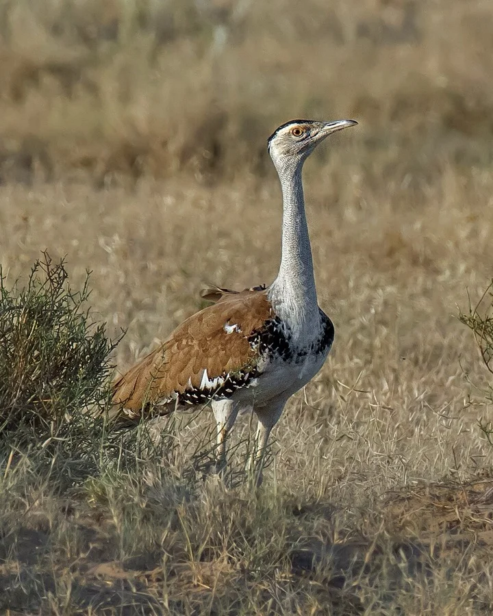
Great Indian Bustard / Godawan
गोडावण (Godawan)
Ardeotis nigriceps
One of the heaviest flying birds in the world, critically conserved in the vast arid grasslands of Desert National Park near Jaisalmer.
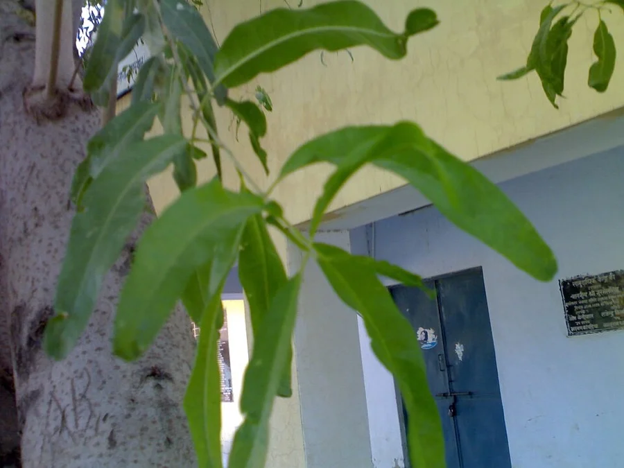
Rohida / Desert Teak
रोहिड़ा (Rohida)
Tecomella undulata
Known as the 'Marwar Teak', its brilliant orange and fiery vermilion blooms create a dazzling spectacle across barren desert sands.
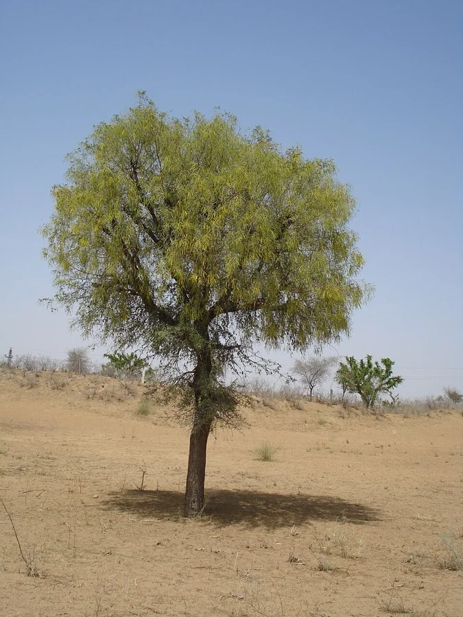
Khejri Tree
खेजड़ी (Khejri)
Prosopis cineraria
The sacred lifeline of the Thar Desert; 363 Bishnois sacrificed their lives to protect these green trees at Khejarli in 1730.
What's Inside Your 3-Page A4 PDF
Structured print-ready learning system designed for classroom study, practice recall, and self-correction.
Master Reference Map
Full geography outline with every district clearly labelled for visual exploration and classroom study.
Student Quiz Worksheet
Numbered test sheet paired with structured blank answer lines for timed recall, homework, and classroom quizzes.
Complete Answer Key
Alphabetical directory and scoring index for quick self-checking, peer review, and teacher grading.
How to Use This Map Pack in Class or at Home
Complete Answer Key & Index
Alphabetical list of all 50 districts corresponding to the Numbered Quiz Map.
Official & Regional Languages of Rajasthan
Recognized official, additional official, and prominent regional languages of Rajasthan. Click any language to explore its Wikipedia article.
Learn to Write in Hindi (हिन्दी)
Generate free custom name tracing sheets, foundational sight words, and alphabet practice in authentic Hindi script typography. Built-in school notebook rulings, soft single-shape watermark guides, and instant 300 DPI vector PDF export.
More Northern India India Maps
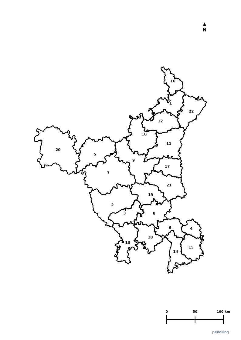
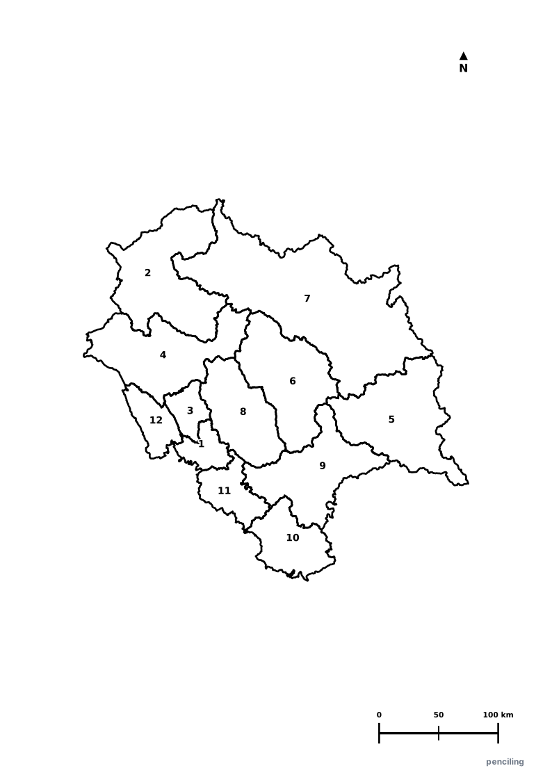
Explore free printable district maps and practice tests for neighboring states.
Explore All India Educational Maps
Official Cartographic & Boundary Standards
Verified .gov.inAdministrative boundary alignments and regional designations are aligned with official publications by theSurvey of India (National Mapping Agency)and theGovernment of Rajasthan (rajasthan.gov.in).