Kerala Printable Map Pack
Free printable map pack for Kerala. Includes boundary outlines, blank practice maps, quiz sheet, and answer key.
3-Page A4 Worksheet Pack
Includes Reference Map, Student Quiz Map, and Complete Answer Key in a single print-friendly PDF.
Download 3-Page Worksheet Pack🧭 Explore in Interactive AtlasKerala District Map
Interactive preview for all 14 districts.
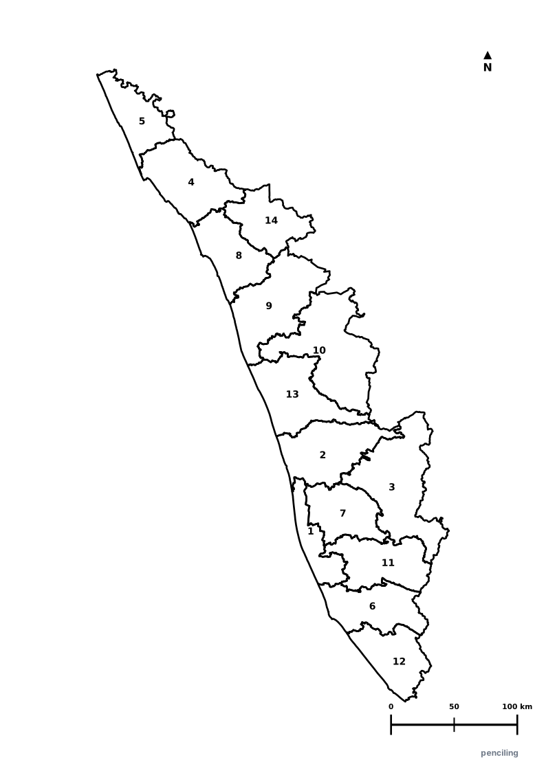
Kerala Practice Test
Students identify each numbered district and write the name in the test blank.
Highest Quality of Life: Consistently ranks #1 among Indian states in literacy (96.2%), life expectancy, sex ratio, and primary health infrastructure.
Land of 44 Rivers & Backwaters: A vast 900-km network of interconnected serene lagoons, palm-lined canals, and lakes navigated by traditional houseboats.
Ancient Spice Coast: Muziris in Kerala traded black pepper (black gold), cardamom, and cinnamon with ancient Egyptians, Greeks, and Romans 3,000 years ago.
World’s First Solar Airport: Cochin International Airport (CIAL) became the world’s first airport to run 100% entirely on solar power in 2015.
Birthplace of Kathakali & Kalaripayattu: Home to the classical dance-drama Kathakali and Kalaripayattu, one of the world’s oldest continuous martial arts.
Official State Symbols of Kerala
Official flora, fauna, and natural emblems designated to celebrate Kerala’s rich ecological and cultural heritage.
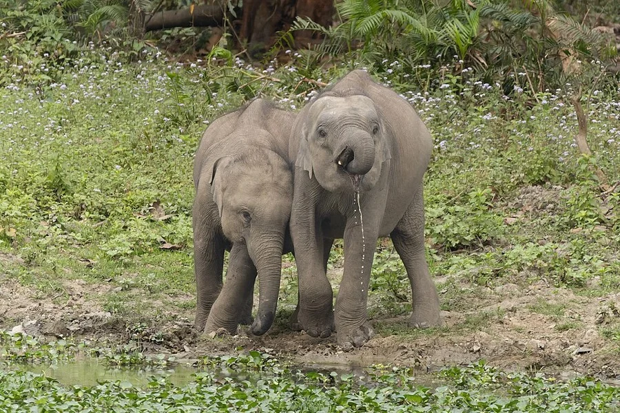
Indian Elephant
ആന (Aana)
Elephas maximus indicus
Integral to Kerala's rich temple traditions like Thrissur Pooram and celebrated as the beloved symbol of the state emblem.
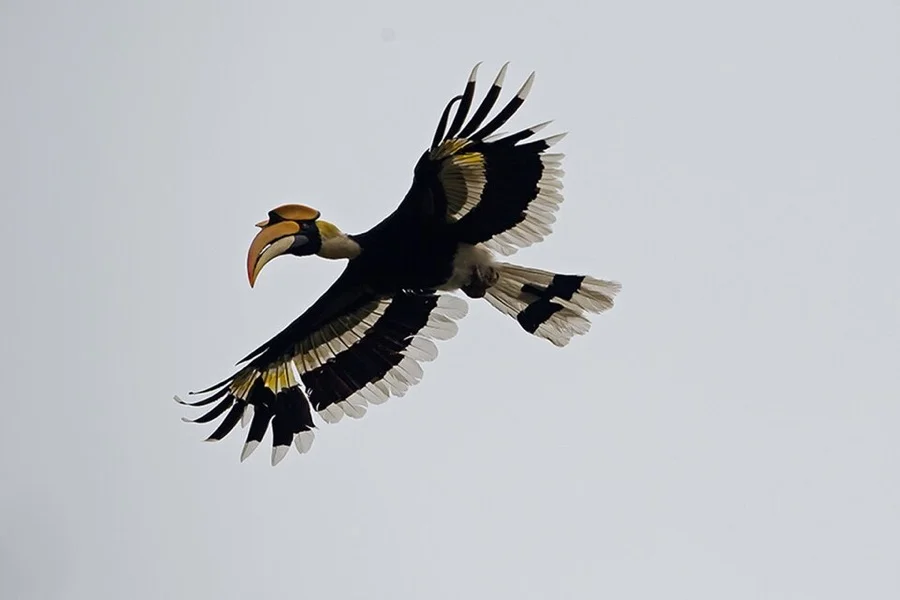
Great Hornbill
മലമുഴക്കി വേഴാമ്പൽ (Vezhambal)
Buceros bicornis
Its magnificent golden-yellow casque and thunderous wingbeats echo across the lush rainforest canopies of Vazhachal and Silent Valley.
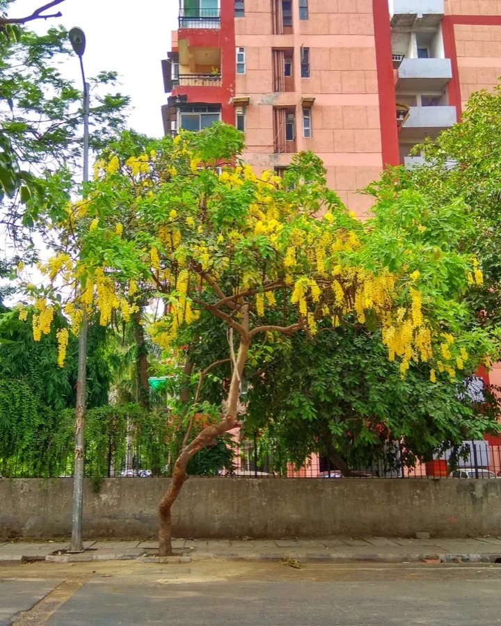
Golden Shower / Kanikkonna
കണിക്കൊന്ന (Kanikkonna)
Cassia fistula
Its cascading golden yellow blossoms are the essential centerpiece of the auspicious 'Vishu Kani' morning ritual during the Malayalam New Year.
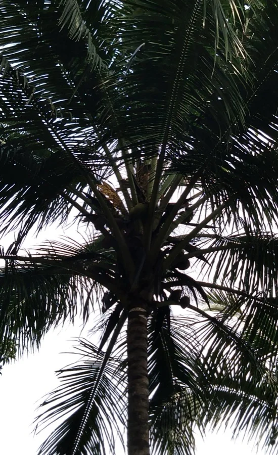
Coconut Palm
തെങ്ങ് (Thengu)
Cocos nucifera
Giving Kerala its very name ('Kera-alam' = Land of Coconuts), providing tender water, cooking oil, coir, and lush coastal beauty.
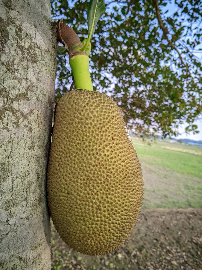
Jackfruit
ചക്ക (Chakka)
Artocarpus heterophyllus
The largest tree-borne fruit in the world, savored in Kerala kitchens as tender varuthathu chips, chakka erissery, and sweet halwa.
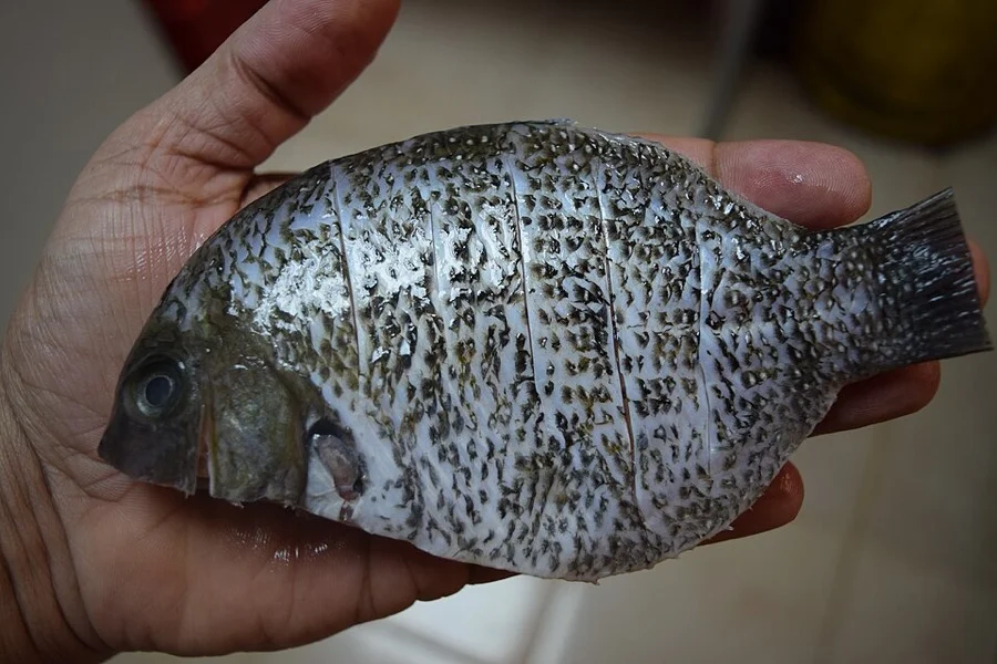
Green Chromide / Pearl Spot
കരിമീൻ (Karimeen)
Etroplus suratensis
A signature delicacy of Kerala's serene backwaters and Vembanad Lake, recognized by its shimmering pearl spots and oval body.
What's Inside Your 3-Page A4 PDF
Structured print-ready learning system designed for classroom study, practice recall, and self-correction.
Master Reference Map
Full geography outline with every district clearly labelled for visual exploration and classroom study.
Student Quiz Worksheet
Numbered test sheet paired with structured blank answer lines for timed recall, homework, and classroom quizzes.
Complete Answer Key
Alphabetical directory and scoring index for quick self-checking, peer review, and teacher grading.
How to Use This Map Pack in Class or at Home
Complete Answer Key & Index
Alphabetical list of all 14 districts corresponding to the Numbered Quiz Map.
Official & Regional Languages of Kerala
Recognized official, additional official, and prominent regional languages of Kerala. Click any language to explore its Wikipedia article.
Learn to Write in Malayalam (മലയാളം)
Generate free custom name tracing sheets, foundational sight words, and alphabet practice in authentic Malayalam script typography. Built-in school notebook rulings, soft single-shape watermark guides, and instant 300 DPI vector PDF export.
More Southern India India Maps
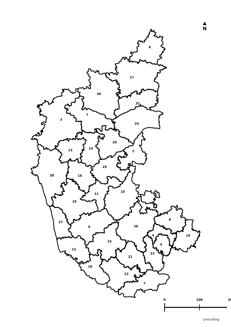
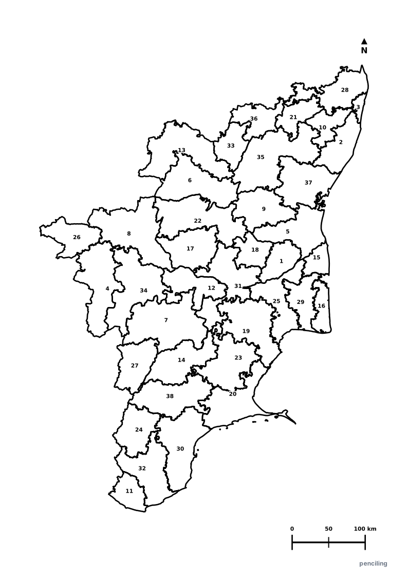
Explore free printable district maps and practice tests for neighboring states.
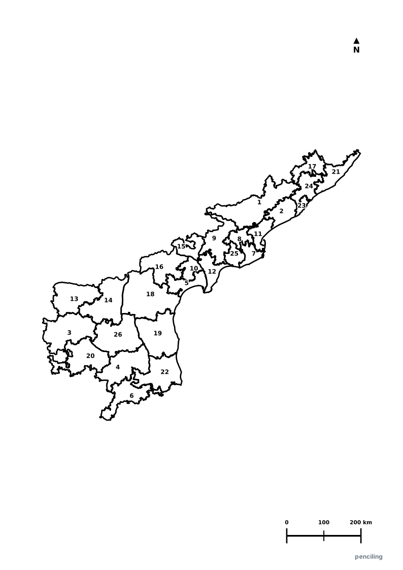
Explore All India Educational Maps
Official Cartographic & Boundary Standards
Verified .gov.inAdministrative boundary alignments and regional designations are aligned with official publications by theSurvey of India (National Mapping Agency)and theGovernment of Kerala (kerala.gov.in).