Madhya Pradesh Printable Map Pack
Free printable map pack for Madhya Pradesh. Includes boundary outlines, blank practice maps, quiz sheet, and answer key.
3-Page A4 Worksheet Pack
Includes Reference Map, Student Quiz Map, and Complete Answer Key in a single print-friendly PDF.
Download 3-Page Worksheet Pack🧭 Explore in Interactive AtlasMadhya Pradesh District Map
Interactive preview for all 55 districts.
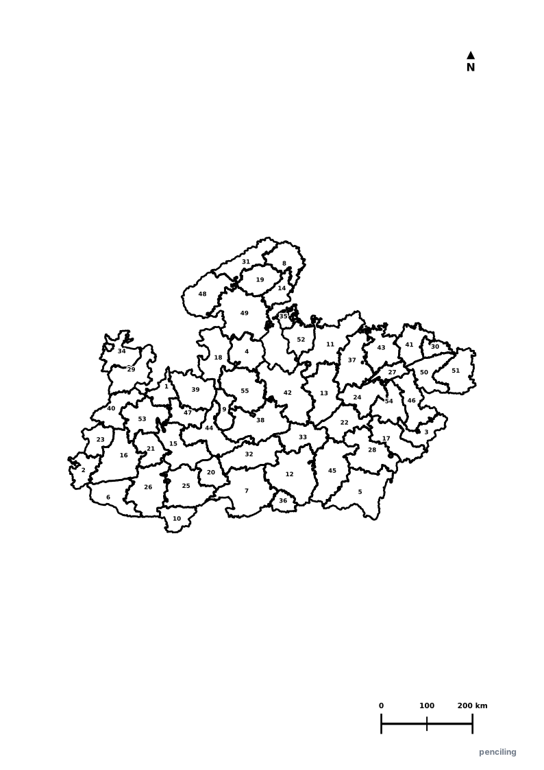
Madhya Pradesh Practice Test
Students identify each numbered district and write the name in the test blank.
Tiger State of India: Home to over 785 wild Royal Bengal Tigers across famous national parks like Kanha, Bandhavgarh, and Pench (inspiration for The Jungle Book).
UNESCO World Heritage Heart: Features the Great Stupa of Sanchi (3rd century BCE), the temples of Khajuraho, and 30,000-year-old Bhimbetka Rock Shelters.
Only Diamond Mines in India: Panna is the only diamond-producing region in India, with active open-cast diamond mining operations.
Geographic Center of India: The historic village of Karondi in Katni district marks the exact geographical center point of undivided India.
Cleanest City Record: Indore has been officially awarded India’s Cleanest City title for seven consecutive years in the Swachh Survekshan rankings.
Official State Symbols of Madhya Pradesh
Official flora, fauna, and natural emblems designated to celebrate Madhya Pradesh’s rich ecological and cultural heritage.
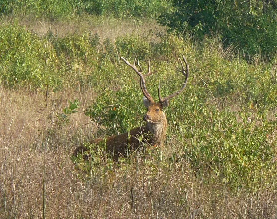
Swamp Deer / Barasingha
बारहसिंगा (Barasingha)
Rucervus duvaucelii branderi
Kanha National Park made world conservation history by saving the unique hard-ground southern Barasingha from near extinction.
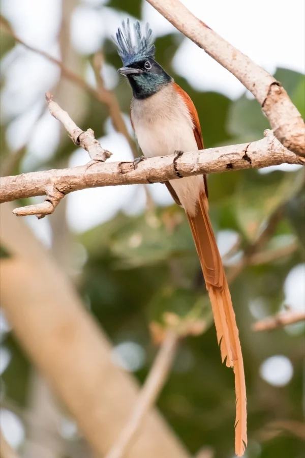
Asian Paradise Flycatcher / Dudhraj
दूधराज (Dudhraj / Shah Bulbul)
Terpsiphone paradisi
The adult male possesses a dramatic flowing snow-white ribbon tail up to 30 cm long as it flits through riverine woodlands.
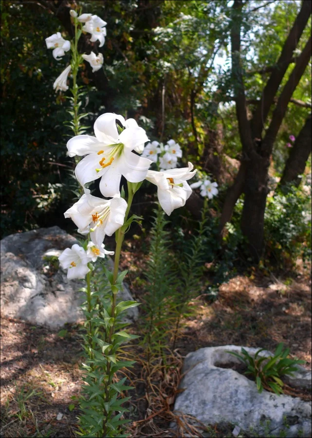
Madonna White Lily
सफेद लिली (Safed Lily)
Lilium candidum
Pure white trumpet-shaped petals symbolizing peace and purity, blooming across Madhya Pradesh's plateaus.
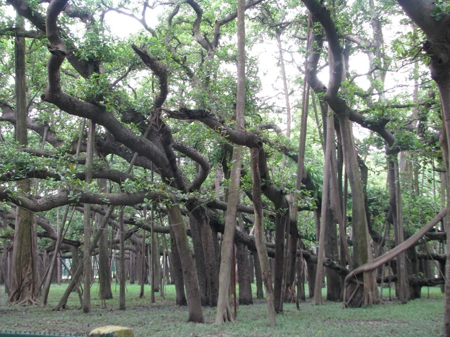
Banyan Tree
बरगद (Bargad)
Ficus benghalensis
The iconic village gathering tree of central India, supporting hundreds of species of birds, squirrels, and monkeys in its canopy.
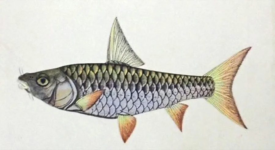
Tor Mahseer
महाशीर (Mahseer)
Tor tor
Known as the 'Tiger of the Waters', a magnificent freshwater game fish found in the clean rapids of the Narmada River.
What's Inside Your 3-Page A4 PDF
Structured print-ready learning system designed for classroom study, practice recall, and self-correction.
Master Reference Map
Full geography outline with every district clearly labelled for visual exploration and classroom study.
Student Quiz Worksheet
Numbered test sheet paired with structured blank answer lines for timed recall, homework, and classroom quizzes.
Complete Answer Key
Alphabetical directory and scoring index for quick self-checking, peer review, and teacher grading.
How to Use This Map Pack in Class or at Home
Complete Answer Key & Index
Alphabetical list of all 55 districts corresponding to the Numbered Quiz Map.
Official & Regional Languages of Madhya Pradesh
Recognized official, additional official, and prominent regional languages of Madhya Pradesh. Click any language to explore its Wikipedia article.
Learn to Write in Hindi (हिन्दी)
Generate free custom name tracing sheets, foundational sight words, and alphabet practice in authentic Hindi script typography. Built-in school notebook rulings, soft single-shape watermark guides, and instant 300 DPI vector PDF export.
More Central India India Maps
Explore free printable district maps and practice tests for neighboring states.
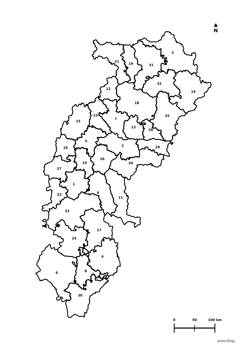
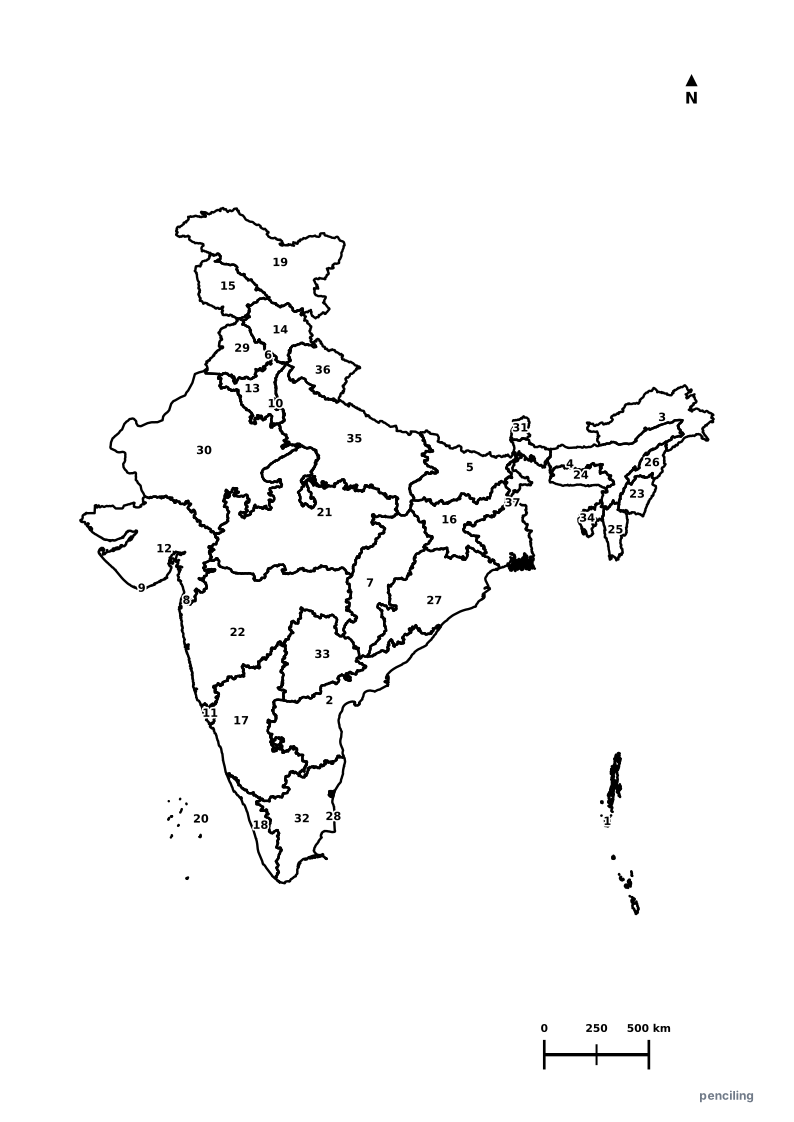
Explore All India Educational Maps
Official Cartographic & Boundary Standards
Verified .gov.inAdministrative boundary alignments and regional designations are aligned with official publications by theSurvey of India (National Mapping Agency)and theGovernment of Madhya Pradesh (mp.gov.in).