West Bengal Printable Map Pack
Free printable map pack for West Bengal. Includes boundary outlines, blank practice maps, quiz sheet, and answer key.
3-Page A4 Worksheet Pack
Includes Reference Map, Student Quiz Map, and Complete Answer Key in a single print-friendly PDF.
Download 3-Page Worksheet Pack🧭 Explore in Interactive AtlasWest Bengal District Map
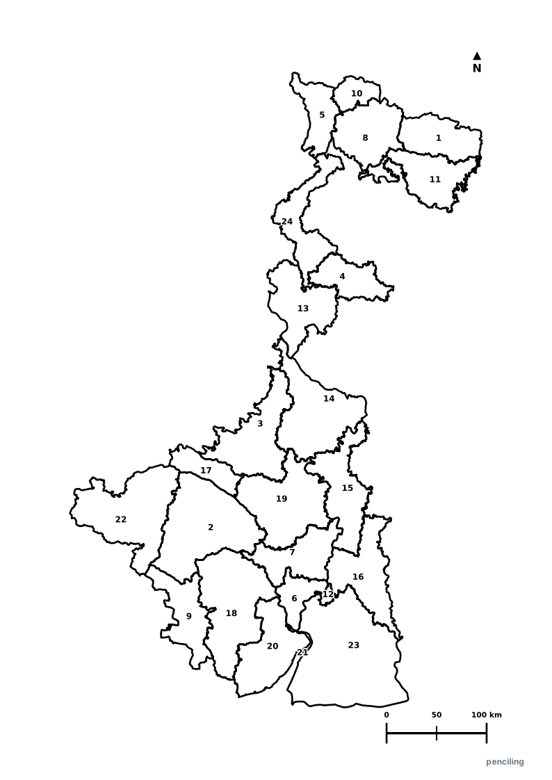
Interactive preview for all 24 districts.
West Bengal Practice Test
Students identify each numbered district and write the name in the test blank.
World’s Largest Mangrove Forest: The Sundarbans delta is the largest tidal halophytic mangrove forest on Earth and the only mangrove habitat for Royal Bengal Tigers.
Only State with Himalayas & Sea: Stretches from the snowy peaks of Darjeeling and Kanchenjunga in the north down to the coastal beaches of the Bay of Bengal.
UNESCO Durga Puja: The grand autumnal festival of Durga Puja in Kolkata was inscribed on UNESCO’s Intangible Cultural Heritage of Humanity list in 2021.
Darjeeling Tea - Champagne of Teas: The world’s first product to receive a Geographical Indication (GI) tag in India (2004) for its muscatel flavor.
Cradle of Indian Renaissance: Home to Nobel laureate Rabindranath Tagore, Swami Vivekananda, and pioneering institutions like Visva-Bharati at Santiniketan.
Official State Symbols of West Bengal
Official flora, fauna, and natural emblems designated to celebrate West Bengal’s rich ecological and cultural heritage.
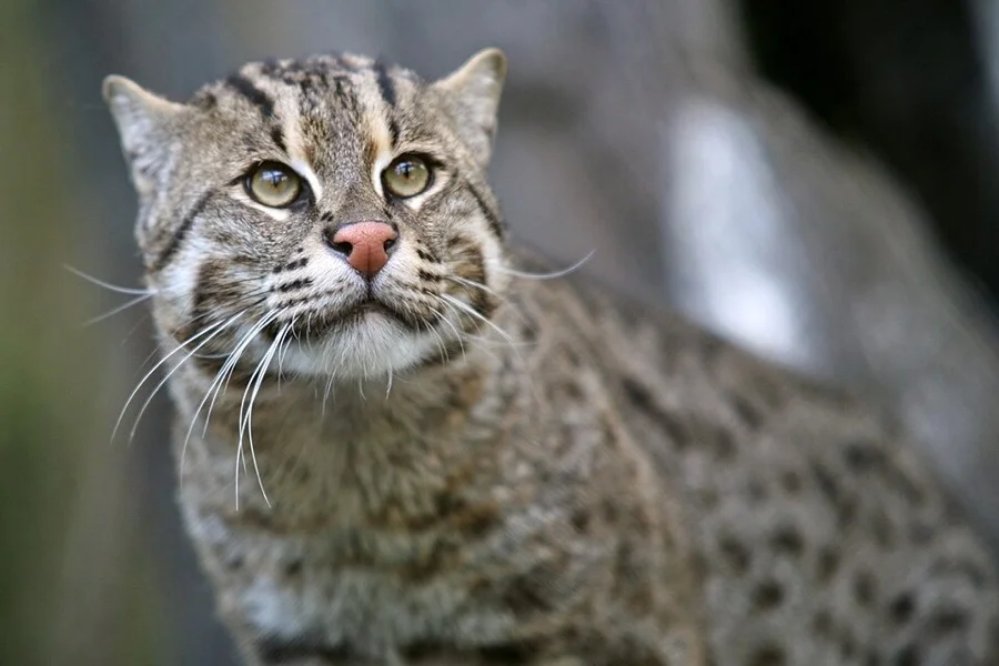
Fishing Cat
মেছো বিড়াল (Mechho Biral)
Prionailurus viverrinus
An agile nocturnal wildcat with webbed paws that dives skillfully into Sundarban mangrove swamps to catch fish and crabs.
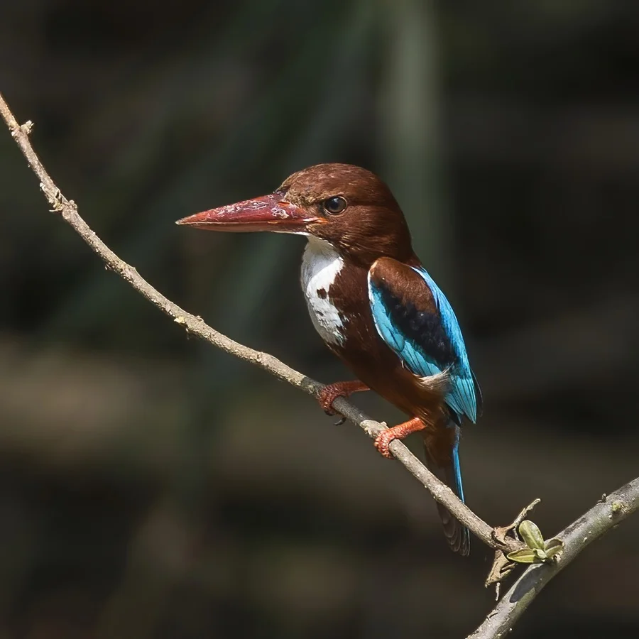
White-throated Kingfisher
ধলাগলা মাছরাঙা (Machhranga)
Halcyon smyrnensis
Recognized by its bright turquoise-blue wings and deep chestnut belly, hovering watchfully over Bengal's ponds and paddy canals.
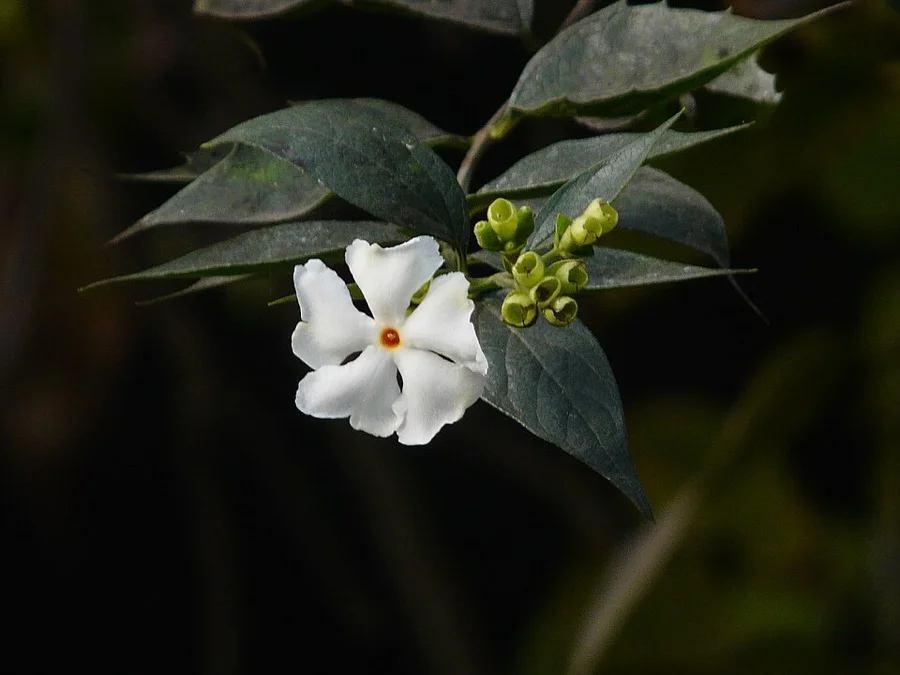
Night-flowering Jasmine / Shiuli
শিউলি ফুল (Shiuli Phool)
Nyctanthes arbor-tristis
Delicate white flowers with vibrant orange stems that carpet the morning grass in autumn, announcing the arrival of Durga Puja.
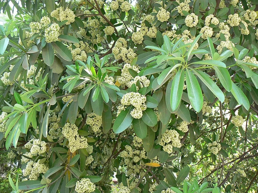
Devil Tree / Chatim
ছাতিম গাছ (Chatim Gachh)
Alstonia scholaris
Deeply linked to Rabindranath Tagore's Visva-Bharati at Santiniketan, where graduates were historically gifted five Chatim leaves.
What's Inside Your 3-Page A4 PDF
Structured print-ready learning system designed for classroom study, practice recall, and self-correction.
Master Reference Map
Full geography outline with every district clearly labelled for visual exploration and classroom study.
Student Quiz Worksheet
Numbered test sheet paired with structured blank answer lines for timed recall, homework, and classroom quizzes.
Complete Answer Key
Alphabetical directory and scoring index for quick self-checking, peer review, and teacher grading.
How to Use This Map Pack in Class or at Home
Complete Answer Key & Index
Alphabetical list of all 24 districts corresponding to the Numbered Quiz Map.
Official & Regional Languages of West Bengal
Recognized official, additional official, and prominent regional languages of West Bengal. Click any language to explore its Wikipedia article.
Learn to Write in Bengali (বাংলা)
Generate free custom name tracing sheets, foundational sight words, and alphabet practice in authentic Bengali script typography. Built-in school notebook rulings, soft single-shape watermark guides, and instant 300 DPI vector PDF export.
More Eastern India India Maps
Explore free printable district maps and practice tests for neighboring states.
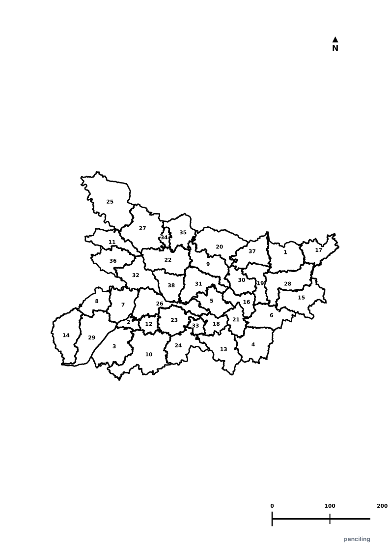
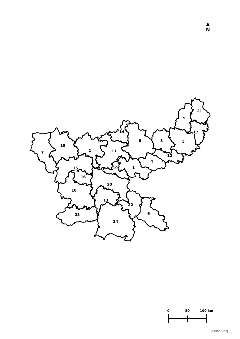
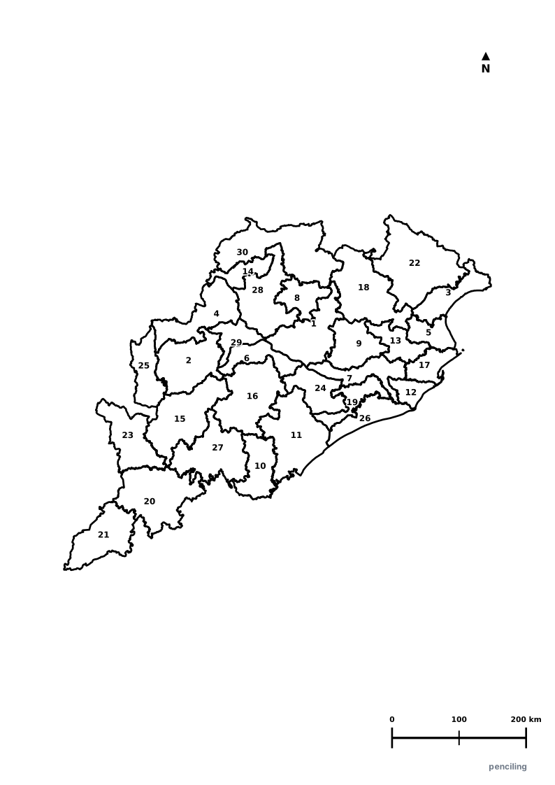
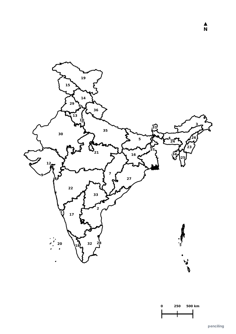
Explore All India Educational Maps
Official Cartographic & Boundary Standards
Verified .gov.inAdministrative boundary alignments and regional designations are aligned with official publications by theSurvey of India (National Mapping Agency)and theGovernment of West Bengal (wb.gov.in).