Himachal Pradesh Printable Map Pack
Free printable map pack for Himachal Pradesh. Includes boundary outlines, blank practice maps, quiz sheet, and answer key.
3-Page A4 Worksheet Pack
Includes Reference Map, Student Quiz Map, and Complete Answer Key in a single print-friendly PDF.
Download 3-Page Worksheet Pack🧭 Explore in Interactive AtlasHimachal Pradesh District Map
Interactive preview for all 12 districts.
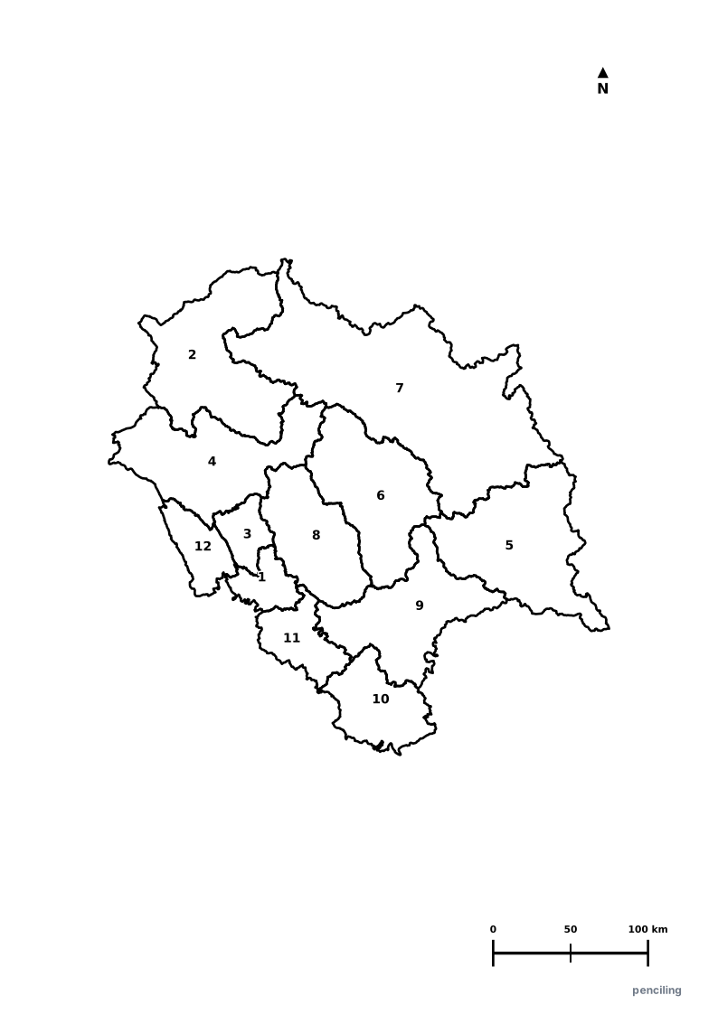
Himachal Pradesh Practice Test
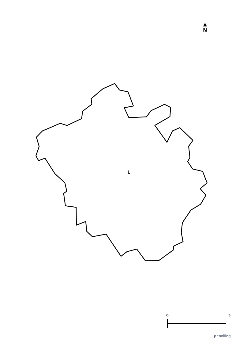
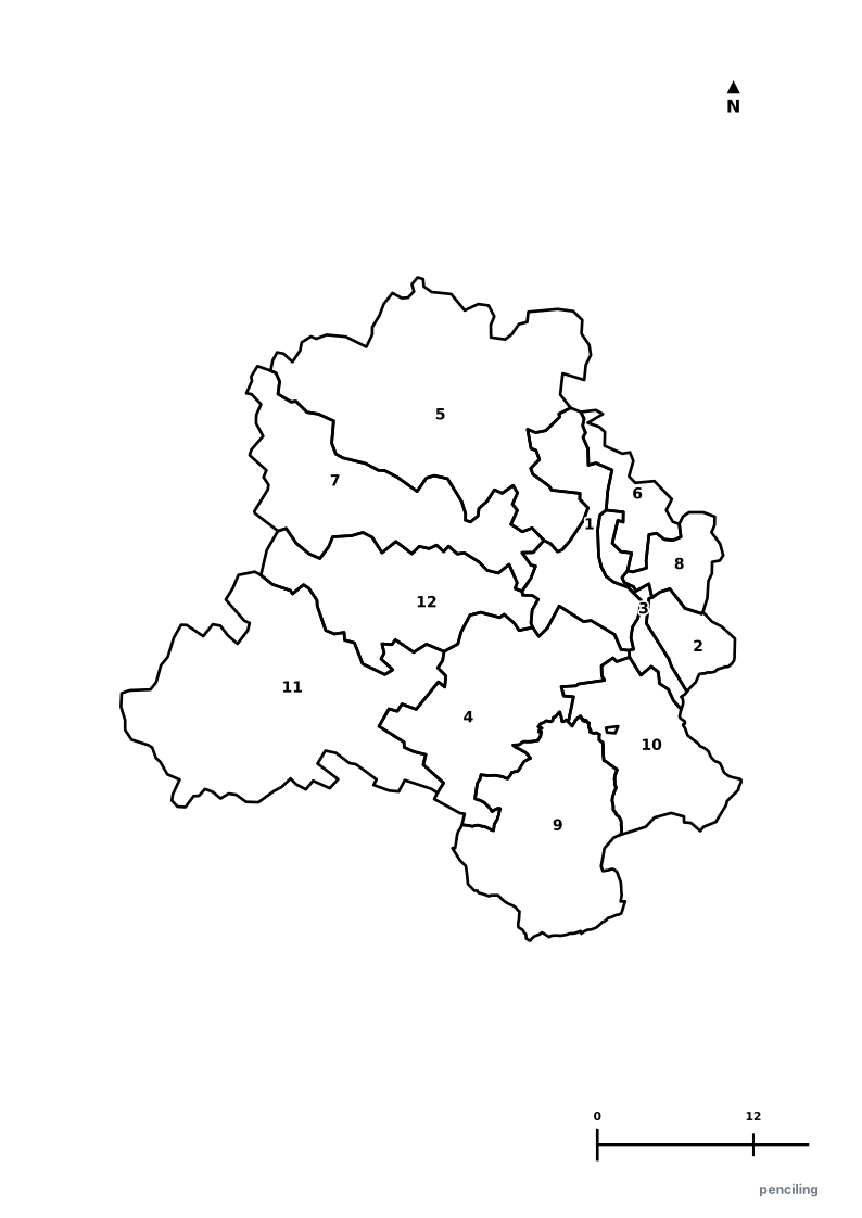
Students identify each numbered district and write the name in the test blank.
UNESCO Kalka-Shimla Toy Train: The historic narrow-gauge mountain train traverses 102 tunnels, 869 bridges, and 919 sharp curves through the Himalayas.
Apple State of India: Introduced in 1916 by Samuel Stokes, apple orchards across Shimla and Kinnaur made Himachal Pradesh India’s premier fruit state.
Seat of the Dalai Lama: McLeod Ganj in Dharamshala is the residence of His Holiness the Dalai Lama and the cultural capital of Tibetan Buddhism in exile.
World’s Highest Post Office: Hikkim village in Spiti Valley is home to the world’s highest functioning post office at an altitude of 4,440 meters (14,567 ft).
India’s First Smoke-Free State: Officially declared India’s first smoke-free state due to 100% household transition to clean LPG cooking gas.
Official State Symbols of Himachal Pradesh
Official flora, fauna, and natural emblems designated to celebrate Himachal Pradesh’s rich ecological and cultural heritage.
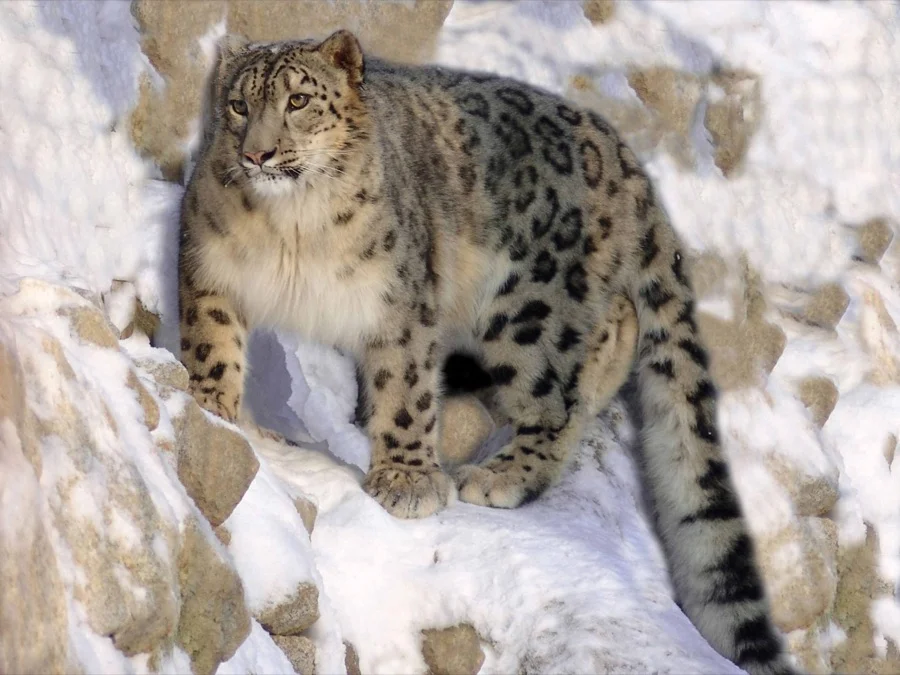
Snow Leopard
हिम तेंदुआ (Him Tendua)
Panthera uncia
The elusive 'Ghost of the Mountains' roams the high-altitude rocky crags of Spiti Valley and Kibber Wildlife Sanctuary.
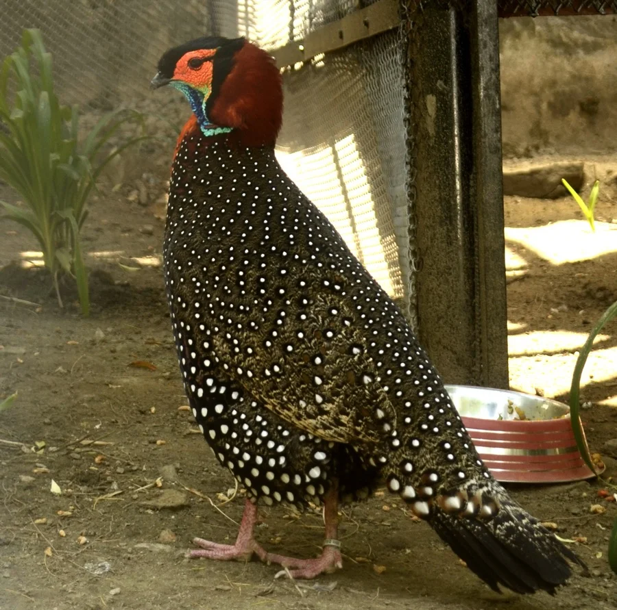
Western Tragopan / Jujurana
जुजुराना (Jujurana - King of Birds)
Tragopan melanocephalus
Known locally as 'Jujurana' (King of Birds) because of its jewel-like ruby breast and white polka-dotted feathers.
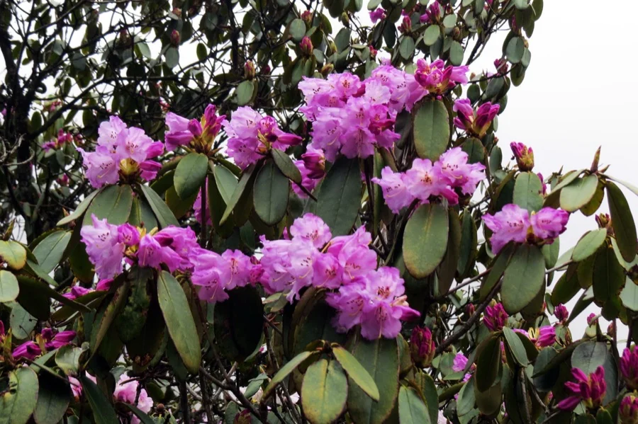
Pink Rhododendron
गुलाबी बुरांश (Buransh)
Rhododendron campanulatum
Covers high Himalayan alpine slopes with luminous bell-shaped pink and purple flowers during late spring.
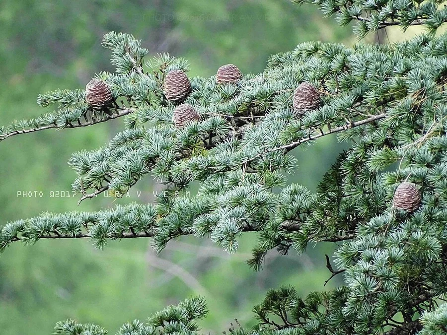
Deodar Cedar
देवदार (Devdar - Timber of the Gods)
Cedrus deodara
Its name derives from Sanskrit 'Devadaru' meaning 'Wood of the Gods', forming fragrant grand forests around Shimla and Manali.
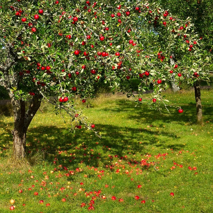
Himachali Apple
सेब (Himachali Seb)
Malus domestica
Earned Himachal the title of the 'Apple State of India', pioneered by Samuel Stokes in the Kotgarh hills in 1916.
What's Inside Your 3-Page A4 PDF
Structured print-ready learning system designed for classroom study, practice recall, and self-correction.
Master Reference Map
Full geography outline with every district clearly labelled for visual exploration and classroom study.
Student Quiz Worksheet
Numbered test sheet paired with structured blank answer lines for timed recall, homework, and classroom quizzes.
Complete Answer Key
Alphabetical directory and scoring index for quick self-checking, peer review, and teacher grading.
How to Use This Map Pack in Class or at Home
Complete Answer Key & Index
Alphabetical list of all 12 districts corresponding to the Numbered Quiz Map.
Official & Regional Languages of Himachal Pradesh
Recognized official, additional official, and prominent regional languages of Himachal Pradesh. Click any language to explore its Wikipedia article.
Learn to Write in Hindi (हिन्दी)
Generate free custom name tracing sheets, foundational sight words, and alphabet practice in authentic Hindi script typography. Built-in school notebook rulings, soft single-shape watermark guides, and instant 300 DPI vector PDF export.
More Northern India India Maps
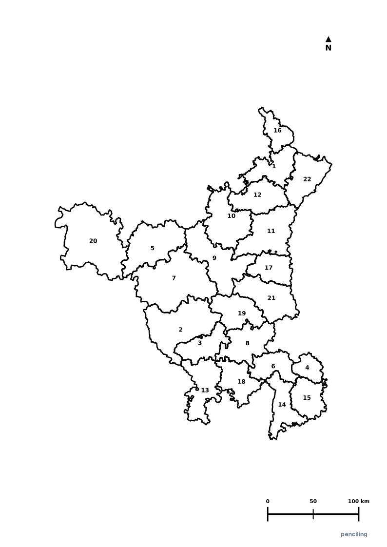
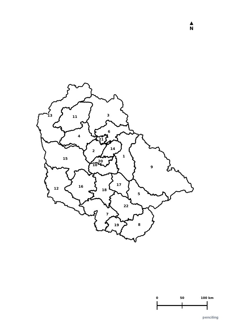
Explore free printable district maps and practice tests for neighboring states.
Explore All India Educational Maps
Official Cartographic & Boundary Standards
Verified .gov.inAdministrative boundary alignments and regional designations are aligned with official publications by theSurvey of India (National Mapping Agency)and theGovernment of Himachal Pradesh (himachal.nic.in).